19 Clifton Avenue, Culcheth, Warrington, WA3 4PD
About 19 Clifton Avenue
19 Clifton Avenue is a three-bedroom detached house in Culcheth, Warrington, Warrington (WA3 4PD). It has a recorded floor area of 110 m² (around 1184 sq ft), construction records dating it to 1967-1975 and council tax band E. The latest certificate (June 2025) shows a D (score 60), on the cusp of jumping into the C band. The rating has held steady at D across 2 certificates since July 2015. Between certificates, roof efficiency went from Very Poor to Average; while window efficiency dropped from Average to Poor and lighting dropped from Average to Poor. The recommended improvements would push it to C (score 70). Our model identifies extension potential, subject to local planning policy.
Last changed hands 11 years ago, in October 2015. Today's modelled estimate of £525,000 is 49.1% above the 2015 sale price.
What this property has
Inside
- Bedrooms3
- Bathrooms2
- Open-plan layoutYes
- Dining roomYes
Outside
- Private gardenYes
- GarageYes
Building
- Extension potentialPossible
Everything you need to know about 19 Clifton Avenue
The true value, the hidden risks and the full sale history, in one report.
Pick your report · every report is £14.99
One time fee only - money back guarantee

The data behind every report


Energy performance
EPC Rating
Property Improvements
Changes detected from historical EPC data
Roof insulation improved
Get a survey for this property
Level 2 HomeBuyer Report
We've checked 10 risk factors against the available data for this property and believe a Level 2 HomeBuyer Report could be a suitable option for you.
From £795 · Includes VAT
Planning history
19 Clifton Avenue has no planning applications on record.
A planning report still maps activity across the surrounding area and reads this property's extension & conversion potential.
Sales history & valuation
19 Clifton Avenue valuation sits well clear of the typical sold price in this postcode.
£525,000
Modelled from EPC, postcode comparables.
£352,000
Recorded with HM Land Registry.
Sales timeline
8 October 2015Most recent
£352,000
Median price across the last 5 sales in WA3 4PD: £375,000 (2021–2018).
Nearby sales in WA3 4PD
4 Clifton Avenue, Culcheth, Warrington, WA3 4PD
Sold May 2021
£430,0008 Clifton Avenue, Culcheth, Warrington, WA3 4PD
Sold Jul 2020
£370,0006 Clifton Avenue, Culcheth, Warrington, WA3 4PD
Sold May 2019
£353,00013 Clifton Avenue, Culcheth, Warrington, WA3 4PD
Sold Feb 2019
£455,00028 Clifton Avenue, Culcheth, Warrington, WA3 4PD
Sold Oct 2018
£375,000
Versus other Clifton Avenue homes
19 Clifton Avenue is notably below the street on habitable rooms.
Price per m²
£3,200
Street avg £2,943
Floor Area
110 m²
Street avg 131 m²
Habitable Rooms
4 rooms
Street avg 6 rooms
CO₂ Emissions
3.9 t/year
Street avg 4.8 t/year
Everything you need to know about 19 Clifton Avenue
The true value, the hidden risks and the full sale history, in one report.
Pick your report · every report is £14.99
One time fee only - money back guarantee
The data behind every report
Similar properties nearby
1 Culcheth Hall Farm Barns, Withington Avenue, Culcheth
WA3 4AN
1 Cawley Avenue, Culcheth
WA3 4DF
1 Heswall Avenue, Culcheth
WA3 4BN
1 Chiltern Road, Culcheth
WA3 4LF
1 Doeford Close, Culcheth
WA3 4DL
1 Hutton Close, Culcheth
WA3 4DW
1 Hurst Green Gardens, Culcheth
WA3 4FX
1 Daisy Bank Mill Close, Culcheth
WA3 4JH
The neighbourhood at a glance
Daytime road noise here sits well below conversation level — a quiet pocket of the postcode.
Crime
1/mo
Steady year-on-year across the wider district.
Nearest stop
0.3 km
Hob Hey Lane — bus stop.
Closest school
0.6 km
Twiss Green Community Primary School. 11 schools nearby.
Go deeper on the local area
A Local Area report breaks down crime, transport links, schools and air quality in depth.
Road noise across the postcode
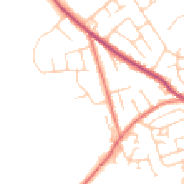
Daytime· 07:00 – 23:00
47.6dB

Night-time· 23:00 – 07:00
38.8dB