2 Beechwood Rise, West End, Southampton, SO18 3PW
About 2 Beechwood Rise
2 Beechwood Rise is a four-bedroom detached house in West End, Southampton, Southampton (SO18 3PW). It has a recorded floor area of 149 m² (around 1604 sq ft), construction records dating it to 1983-1990 and council tax band F. The latest certificate (June 2012) shows a D (score 60), on the cusp of jumping into the C band. The recommended improvements would push it to C (score 78). The latest certificate is from June 2012, so improvements made since then won't be reflected. Other recorded features include attached land beyond the plot.
Held since February 1997 — that's 29 years off the open market, well above the local norm. Only one transfer is on record with HM Land Registry, suggesting it has stayed in the same hands for a long time. Today's modelled estimate of £606,000 sits 304.7% above the 1997 sale of £149,750. On a £-per-square-foot basis, the last sale (£93/sq ft) was about 61.2% below the postcode norm. 6 planning records sit against the property, 1 approved, 0 refused. Past consents include an extension, meaningful when judging how the property has evolved.
What this property has
Inside
- Bedrooms4
- Dining roomYes
- Utility roomYes
- CloakroomYes
- EnsuiteYes
Outside
- Private gardenYes
- GarageDouble
- LandYes
Building
- Heating systemGas
Everything you need to know about 2 Beechwood Rise
The true value, the hidden risks and the full sale history, in one report.
30-day money-back guarantee

The data behind every report


Energy performance
2 Beechwood Rise's carbon output runs well above what efficient homes in the postcode produce.
EPC Expired
This certificate is over 10 years old and is no longer valid.Expired 29 Jun 2022
EPC Rating
Planning history
2 Beechwood Rise has 2 separate extension applications on the council record.
- Sept 2024Tree WorksTreesIn report
2no. Oak (T1 & T3) - Remove epicormic growth. Routine maintenance. 1no. Beech (T2) - Reduce radius by 2.0m to provide adequate clearance to adjacent property, maintaining all round shape. Crown lift to 4m above adjacent patio removing secondary & tertiary branches only. Pruning wounds limited to 30mm max. Vigorous growth resulting in extended laterals which are now reaching North corner of property. 1no. Silver Birch (T6) - Fell. Showing signs of disease & die back It has grown with a strait lean over adjacent boundary fence & extends 5.5m across rear garden of neighbouring property at an angle of 26 degrees, posing a danger.
- Documents
- 8 docs on file
- Reference
- T/24/98031
- Aug 2023ExtensionFullIn report
Extension: Single storey · Rear of property
Erection of single storey rear extension.
- Documents
- 12 docs on file
- Reference
- H/23/95313
What's in 2 Beechwood Rise, West End, Southampton, SO18 3PW's planning history?
4 more on this property, plus refusals, disputes and full decisions nearby, in the report.
Sales history & valuation
2 Beechwood Rise's modelled value sits at over four times its earliest registered sale price (1997).
£606,000
Modelled from EPC, postcode comparables.
£149,750
Recorded with HM Land Registry.
Sales timeline
28 February 1997Most recent
£149,750
Median price across the last 5 sales in SO18 3PW: £490,000 (2025–2014).
Nearby sales in SO18 3PW
23 Beechwood Rise, West End, Southampton, SO18 3PW
Sold May 2025
£520,0007 Beechwood Rise, West End, Southampton, SO18 3PW
Sold Mar 2019
£490,00021 Beechwood Rise, West End, Southampton, SO18 3PW
Sold Jul 2016
£478,00020 Beechwood Rise, West End, Southampton, SO18 3PW
Sold May 2014
£418,5004 Beechwood Rise, West End, Southampton, SO18 3PW
Sold Apr 2013
£450,000
Versus other Beechwood Rise homes
EPC Rating for 2 Beechwood Rise lags the street by a wide margin.
Price per m²
£1,005
Street avg £2,719
Floor Area
149 m²
Street avg 161 m²
Habitable Rooms
7 rooms
Street avg 8 rooms
CO₂ Emissions
6.0 t/year
Street avg 5.2 t/year
Everything you need to know about 2 Beechwood Rise
The true value, the hidden risks and the full sale history, in one report.
30-day money-back guarantee
The data behind every report
Similar properties nearby
1 Elan Close, West End
SO18 3QP
1 Coopers Close, West End
SO18 3DE
1 Grasmere Close, West End
SO18 3NP
1 Eden Road, West End
SO18 3QW
1 Gatcombe Gardens, West End
SO18 3NA
1 Lambourne Road, West End
SO18 3LS
1 Farmhouse, Mansbridge Road, West End
SO18 3HW
1 Hill Cottage Gardens, West End
SO18 3AD
The neighbourhood at a glance
Reported crime in the wider district is trending notably upward year-on-year.
Crime
6/mo
Rising year-on-year across the wider district.
Nearest stop
0.3 km
Beauworth Avenue — bus stop.
Closest school
0.7 km
Harefield Primary School. 23 schools nearby.
Go deeper on the local area
The full report breaks down crime, transport links, schools and air quality in depth.
Road noise across the postcode
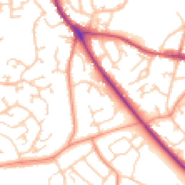
Daytime· 07:00 – 23:00
53.0dB

Night-time· 23:00 – 07:00
43.5dB