35 Charldane Road, Greenwich, London, SE9 3PF
About 35 Charldane Road
35 Charldane Road is a five-bedroom semi-detached house in Greenwich, London, London (SE9 3PF). It has a recorded floor area of 169 m² (around 1819 sq ft), construction records dating it to 1930-1949 and council tax band E. The latest certificate (September 2024) shows a C (score 71). When first surveyed in November 2011 the rating was E, the property has climbed 2 bands since. Between certificates, hot-water efficiency went from Average to Good and lighting went from Good to Very Good. The recommended improvements would push it to B (score 83).
At 169 m² the property is well over the postcode median (118 m² across 12 EPCs), placing it in the larger end of the local stock. Its energy rating outperforms most of the postcode (better than 83% of similar EPCs). Most recent transfer was March 2025 at £845,000 — fresh data. 3 planning records sit against the property, 2 approved, 0 refused. Past consents include an extension and partial demolition, meaningful when judging how the property has evolved. Across 1997–2025, sale prices on this property compounded at 9% per year. On a £-per-square-foot basis, the last sale (£465/sq ft) was about 112.3% above the typical sold price in the postcode.
What this property has
Inside
- Bedrooms5
- Bathrooms2
Everything you need to know about 35 Charldane Road
The true value, the hidden risks and the full sale history, in one report.
30-day money-back guarantee

The data behind every report


Energy performance
EPC Rating
Property Improvements
Changes detected from historical EPC data
Heating controls upgraded for better temperature management
Hot water efficiency improved
Windows upgraded, improving insulation
Roof insulation improved
More low energy lighting installed
Planning history
Planning history includes recorded demolition works, indicating a major rebuild phase at this address.
- Jun 2020DemolitionFullIn report
Extension: Single storey · Rear of property
Demolition of an existing conservatory and construction of a single storey rear extension..
- Agent
- James Kay Architects
Extension- Documents
- 6 docs on file
- Reference
- 20/0879/HD
- Aug 2018ExtensionFullIn report
Extension: Single storey · Side of property
Construction of a first floor side extension and construction of a hip-to-gable roof extension including a rear dormer window with Juliet balcony and four front rooflights.
- Documents
- 10 docs on file
- Reference
- 17/3153/HD
We flagged 1 thing worth checking at 35 Charldane Road
Independent checks surfaced things a buyer would want to understand before offering. The report explains each one in full, with the underlying data and what to ask.
- Signs of HMO activity in the area
30-day money-back guarantee
Sales history & valuation
Latest sale on 35 Charldane Road was the highest on Land Registry record across the postcode.
£843,000
Modelled from EPC, postcode comparables and a sale-price growth of 9.0% per year over 27 years.
£845,000
Growth on file: 9.0% per year over 27 years.
Sales timeline
30 March 2025Most recent
£845,000
+184.5%over 12 years24 July 2012
£297,000
+4.2%over 5 years4 September 2006
£285,000
+135.5%over 7 years6 September 1998
£121,000
+51.2%over 9 months5 December 1997
£80,000
Median price across the last 5 sales in SE9 3PF: £545,000 (2025–2016).
Nearby sales in SE9 3PF
45 Charldane Road, Greenwich, London, SE9 3PF
Sold Feb 2025
£620,00023 Charldane Road, Greenwich, London, SE9 3PF
Sold Feb 2024
£530,00015 Charldane Road, Greenwich, London, SE9 3PF
Sold Aug 2019
£550,00011 Charldane Road, Greenwich, London, SE9 3PF
Sold Jan 2019
£545,00031 Charldane Road, Greenwich, London, SE9 3PF
Sold Mar 2016
£460,000
Versus other Charldane Road homes
On years held, 35 Charldane Road runs well behind the street norm.
Price per m²
£5,000
Street avg £3,572
Floor Area
169 m²
Street avg 119 m²
Habitable Rooms
8 rooms
Street avg 6 rooms
CO₂ Emissions
4.8 t/year
Street avg 5.3 t/year
Everything you need to know about 35 Charldane Road
The true value, the hidden risks and the full sale history, in one report.
30-day money-back guarantee
The data behind every report
Similar properties nearby
1 Bowmead, Greenwich
SE9 3NL
1 Broad Lawn, Greenwich
SE9 3XE
1 Biddenden Way, Greenwich
SE9 3DN
1 Aldwick Close, Bexley
SE9 3UE
1 Cornwallis Avenue, Bexley
SE9 3RF
1 Agaton Road, Bexley
SE9 3RN
1 Clayfarm Road, Greenwich
SE9 3PS
1 Chartwell Close, Bexley
SE9 3UQ
The neighbourhood at a glance
Rail-style transport is unusually close for this postcode.
Crime
6/mo
Rising year-on-year across the wider district.
Nearest stop
0.2 km
William Barefoot Drive — bus stop.
Closest school
0.7 km
Montbelle Primary School. 31 schools nearby.
Go deeper on the local area
The full report breaks down crime, transport links, schools and air quality in depth.
Road noise across the postcode
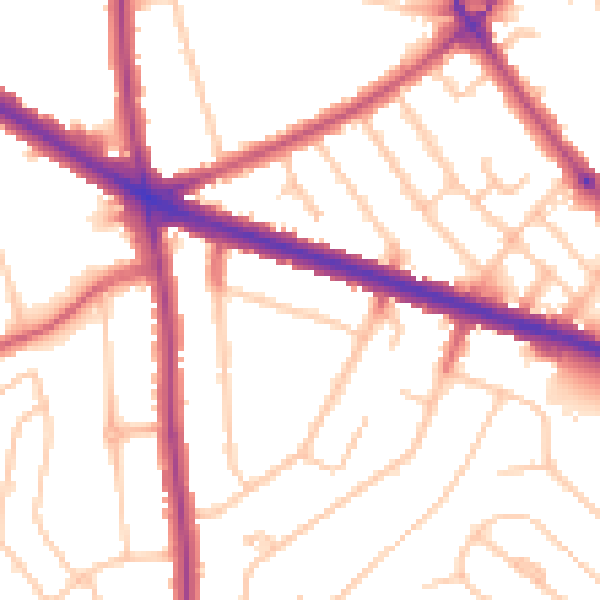
Daytime· 07:00 – 23:00
52.4dB

Night-time· 23:00 – 07:00
43.2dB