63a, Granby Road, Greenwich, London, SE9 1EH
About 63a
63a is a two-bedroom semi-detached house in Greenwich, London, London (SE9 1EH). It has a recorded floor area of 61 m² (around 657 sq ft), construction records dating it to 1930-1949 and council tax band C. At 61 m² this is the 27th smallest of 51 units on EPC record in the building, where floor areas span 42–105 m². The building's EPC ratings span G to B across 51 units on file. The latest certificate (September 2022) shows a D (score 59), a step below the typical UK home.
Across 1999–2023, sale prices on this property compounded at 6.1% per year. Today's modelled estimate of £303,000 is 10.2% above the 2023 sale price. On a £-per-square-foot basis, the last sale (£419/sq ft) was about 39.4% above the typical sold price in the postcode. Last sale on file: £275,000 in May 2023.
What this property has
Inside
- Bedrooms2
Everything you need to know about 63a
The true value, the hidden risks and the full sale history, in one report.
30-day money-back guarantee

The data behind every report


Energy performance
EPC Rating
Planning history
63a has no planning applications on record.
Notable planning nearby
10applications of note in the surrounding area
We flagged 2 things worth checking at 63a
Independent checks surfaced things a buyer would want to understand before offering. The report explains each one in full, with the underlying data and what to ask.
- Signs of HMO activity in the area
- Larger development activity nearby
30-day money-back guarantee
Sales history & valuation
63a has more than quadrupled in price since its earliest registered sale in 1999.
£303,000
Modelled from EPC, postcode comparables and a sale-price growth of 6.1% per year over 24 years.
£275,000
Growth on file: 6.1% per year over 24 years.
Sales timeline
18 May 2023Most recent
£275,000
+99.3%over 18 years14 October 2004
£138,000
+104.4%over 4 years27 October 1999
£67,500
Median price across the last 5 sales in SE9 1EH: £408,000 (2025–2023).
Nearby sales in SE9 1EH
55 Granby Road, Greenwich, London, SE9 1EH
Sold Jan 2025
£475,00045 Granby Road, Greenwich, London, SE9 1EH
Sold Oct 2024
£380,00029 Granby Road, Greenwich, London, SE9 1EH
Sold Sept 2024
£408,00021 Granby Road, Greenwich, London, SE9 1EH
Sold Jul 2024
£507,50083 Granby Road, Greenwich, London, SE9 1EH
Sold Sept 2023
£250,000
Versus other Granby Road homes
On floor area, 63a stands well clear of the street.
Price per m²
£4,508
Street avg £4,515
Floor Area
61 m²
Street avg 52 m²
Habitable Rooms
3 rooms
Street avg 3 rooms
CO₂ Emissions
3.3 t/year
Street avg 2.3 t/year
Everything you need to know about 63a
The true value, the hidden risks and the full sale history, in one report.
30-day money-back guarantee
The data behind every report
Similar properties nearby
1 Cornwallis Walk, Greenwich
SE9 1JX
1 Friars Mews, Greenwich
SE9 1HR
1 Brome Road, Greenwich
SE9 1LE
1 Glendale Close, Greenwich
SE9 1RG
1 Glenbarr Close, Greenwich
SE9 1RQ
1 Berryhill, Greenwich
SE9 1QP
1 Arsenal Road, Greenwich
SE9 1JS
1 Elstow Close, Greenwich
SE9 1HZ
The neighbourhood at a glance
Reported crime in the wider district is trending notably upward year-on-year.
Crime
6/mo
Rising year-on-year across the wider district.
Nearest stop
0.2 km
Well Hall Road / Dunblane Road — bus stop.
Closest school
0.6 km
Deansfield Primary School. 49 schools nearby.
Go deeper on the local area
The full report breaks down crime, transport links, schools and air quality in depth.
Road noise across the postcode
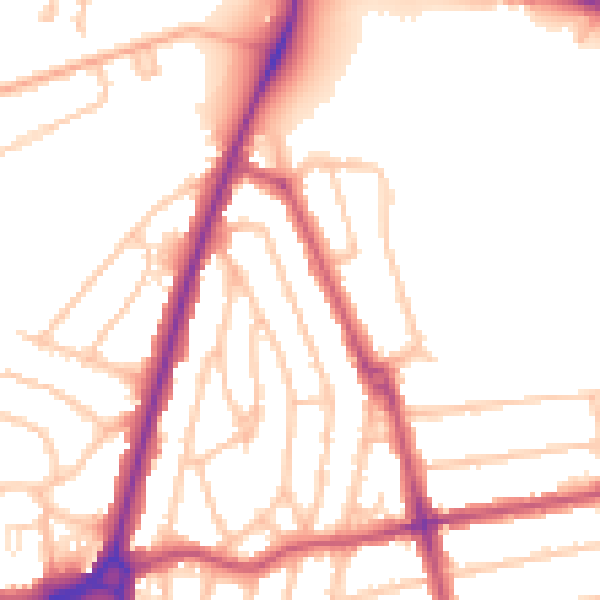
Daytime· 07:00 – 23:00
52.5dB

Night-time· 23:00 – 07:00
43.6dB