52a, Eltham High Street, Greenwich, London, SE9 1BT
About 52a
52a is a one-bedroom mid-terrace house in Greenwich, London, London (SE9 1BT). It has a recorded floor area of 77 m² (around 829 sq ft), construction records dating it to 1950-1966 and council tax band C. At 77 m² this is the 22nd smallest of 37 units on EPC record in the building, where floor areas span 14–119 m². The building's EPC ratings span E to B across 37 units on file. The latest certificate (August 2017) shows a D (score 63), on the cusp of jumping into the C band. The recommended improvements would push it to C (score 72).
Untraded for 17 years, with the last transfer in June 2009. That sale fell during the post-crash dip, which often skews comparisons against later neighbouring sales. Today's modelled estimate of £258,000 sits 141.1% above the 2009 sale of £107,000. On a £-per-square-foot basis, the last sale (£129/sq ft) was about 44.4% below the postcode norm. 1 bedrooms is on the smaller side for this postcode, where 3 is the typical count.
What this property has
Inside
- Bedrooms1
Everything you need to know about 52a
The true value, the hidden risks and the full sale history, in one report.
30-day money-back guarantee

The data behind every report


Energy performance
EPC Rating
Planning history
52a has no planning applications on record.
Notable planning nearby
10applications of note in the surrounding area
We flagged 2 things worth checking at 52a
Independent checks surfaced things a buyer would want to understand before offering. The report explains each one in full, with the underlying data and what to ask.
- Signs of HMO activity in the area
- Larger development activity nearby
30-day money-back guarantee
Sales history & valuation
The latest sale fell during the post-2008 dip, often a low-water mark in price comparisons.
£258,000
Modelled from EPC, postcode comparables.
£107,000
Recorded with HM Land Registry.
Sales timeline
11 June 2009Most recent
£107,000
Median price across the last 5 sales in SE9 1BT: £659,496 (2023–2020).
Nearby sales in SE9 1BT
74a, Flat 4, Eltham High Street, Greenwich, London, SE9 1BT
Sold May 2023
£659,49660 Eltham High Street, Greenwich, London, SE9 1BT
Sold Aug 2022
£1,820,000Flat A, 32 Eltham High Street, Greenwich, London, SE9 1BT
Sold Oct 2020
£1,00054a, Eltham High Street, Greenwich, London, SE9 1BT
Sold May 2020
£250,00054 Eltham High Street, Greenwich, London, SE9 1BT
Sold Aug 2018
£220,000
Versus other Eltham High Street homes
52a outperforms the street on habitable rooms by a wide margin.
Price per m²
£1,390
Street avg £7,128
Floor Area
77 m²
Street avg 72 m²
Habitable Rooms
5 rooms
Street avg 3 rooms
CO₂ Emissions
3.4 t/year
Street avg 2.5 t/year
Everything you need to know about 52a
The true value, the hidden risks and the full sale history, in one report.
30-day money-back guarantee
The data behind every report
Similar properties nearby
1 Cornwallis Walk, Greenwich
SE9 1JX
1 Friars Mews, Greenwich
SE9 1HR
1 Brome Road, Greenwich
SE9 1LE
1 Glendale Close, Greenwich
SE9 1RG
1 Glenbarr Close, Greenwich
SE9 1RQ
1 Berryhill, Greenwich
SE9 1QP
1 Arsenal Road, Greenwich
SE9 1JS
1 Elstow Close, Greenwich
SE9 1HZ
The neighbourhood at a glance
Rail-style transport is unusually close for this postcode.
Crime
6/mo
Rising year-on-year across the wider district.
Nearest stop
0.0 km
Eltham Church / High Street — bus stop.
Closest school
0.4 km
Eltham Hill School. 38 schools nearby.
Go deeper on the local area
The full report breaks down crime, transport links, schools and air quality in depth.
Road noise across the postcode
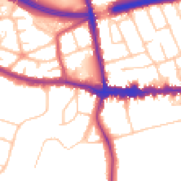
Daytime· 07:00 – 23:00
53.1dB

Night-time· 23:00 – 07:00
44.6dB