3 Heathview Drive, Bexley, London, SE2 0AZ
About 3 Heathview Drive
3 Heathview Drive is a four-bedroom property in Bexley, London, London (SE2 0AZ). It has council tax band F.
It hasn't traded since July 2008, a hold of 18 years that's notably long for the area. That sale landed at the peak of the pre-credit-crunch market, which is a useful reference point when interpreting the price. One planning record on file: an extension approved in 2021. Past consents include an extension, meaningful when judging how the property has evolved.
What this property has
Inside
- Bedrooms4
Everything you need to know about 3 Heathview Drive
The true value, the hidden risks and the full sale history, in one report.
Pick your report · every report is £14.99
One time fee only - money back guarantee

The data behind every report


Energy performance
No EPC on record
This property doesn't have an Energy Performance Certificate yet. An EPC is required to sell or let — and unlocks our automated valuation.
Get a survey for this property
Level 2 HomeBuyer Report
We've checked 10 risk factors against the available data for this property and believe a Level 2 HomeBuyer Report could be a suitable option for you.
Planning history
3 Heathview Drive has an approved single-storey rear extension on the planning record.
1 application on record at 3 Heathview Drive, Bexley, London, SE2 0AZ
- Jul 2021ExtensionOutlineOutcome in report
Extension: Single storey · Rear of property
The erection of a single storey rear extension, which the total extension (including previous enlargements) would extend beyond the rear wall of the original dwelling by 3 metres, for which the maximum height of the total enlargement will be 2.472 metres, and for which the height of the eaves would be 2.11 metres.
- Documents
- 5 docs on file
- Reference
- 21/01693/GPDE
Unlock 3 Heathview Drive, Bexley, London, SE2 0AZ's full planning history
You're seeing the shape of it. The report has the substance.
- Every decision — granted, refused or withdrawn (1 on record)
- All 1 application on this property in full, plus 44 notable nearby
- The 5 documents, officer reports & conditions
- What the pattern means for extending or converting here
One time fee only - money back guarantee
Sales history & valuation
The latest sale landed at the peak of the pre-credit-crunch market — a high-water reference point.
£360,000
Recorded with HM Land Registry.
Sales timeline
17 July 2008Most recent
£360,000
Median price across the last 5 sales in SE2 0AZ: £365,000 (2014–2002).
Nearby sales in SE2 0AZ
8 Heathview Drive, Bexley, London, SE2 0AZ
Sold Mar 2014
£389,00016 Heathview Drive, Bexley, London, SE2 0AZ
Sold Jul 2009
£350,5006 Heathview Drive, Bexley, London, SE2 0AZ
Sold Jan 2006
£365,00013 Heathview Drive, Bexley, London, SE2 0AZ
Sold Mar 2002
£299,99515 Heathview Drive, Bexley, London, SE2 0AZ
Sold Oct 1997
£150,000
Everything you need to know about 3 Heathview Drive
The true value, the hidden risks and the full sale history, in one report.
Pick your report · every report is £14.99
One time fee only - money back guarantee
The data behind every report
Similar properties nearby
1 Cassilda Road, Greenwich
SE2 0ES
1 Congress Road, Greenwich
SE2 0LT
1 Glendown Road, Greenwich
SE2 0RJ
1 Harvel Crescent, Bexley
SE2 0PT
1 Greening Street, Greenwich
SE2 0LX
1 Chancelot Road, Greenwich
SE2 0NB
1 Crumpsall Street, Greenwich
SE2 0LP
1 Brodrick Grove, Greenwich
SE2 0SR
The neighbourhood at a glance
Reported crime in the wider district is trending notably upward year-on-year.
Crime
7/mo
Rising year-on-year across the wider district.
Nearest stop
0.1 km
Woolwich Road / Brampton Road — bus stop.
Closest school
0.8 km
Bedonwell Infant and Nursery School. 54 schools nearby.
Go deeper on the local area
A Local Area report breaks down crime, transport links, schools and air quality in depth.
Road noise across the postcode
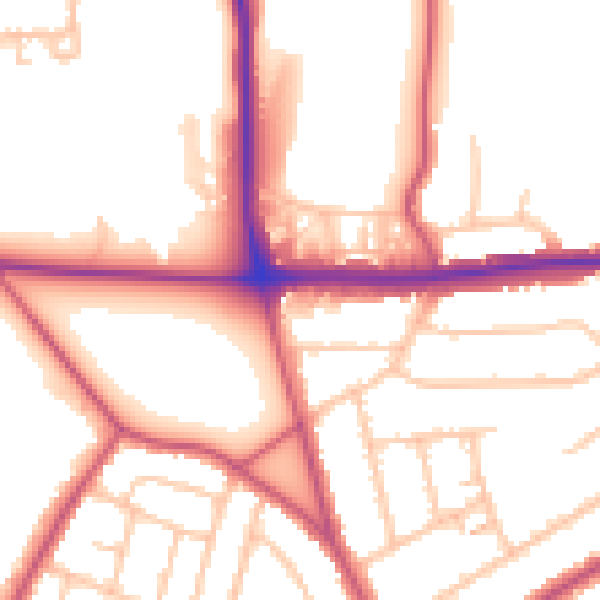
Daytime· 07:00 – 23:00
53.1dB

Night-time· 23:00 – 07:00
43.0dB