1 Cassilda Road, Greenwich, London, SE2 0ES
About 1 Cassilda Road
1 Cassilda Road is a four-bedroom end-of-terrace house in Greenwich, London, London (SE2 0ES). It has a recorded floor area of 116 m² (around 1249 sq ft), construction records dating it to 1930-1949 and council tax band D. The latest certificate (May 2014) shows a D (score 68), on the cusp of jumping into the C band. The recommended improvements would lift it to B (score 84), a 2-band jump. The latest certificate is from May 2014, so improvements made since then won't be reflected.
Across 2001–2014, sale prices on this property compounded at 7.5% per year. Today's modelled estimate of £541,000 sits 52.4% above the 2014 sale of £355,000. On a £-per-square-foot basis, the last sale (£284/sq ft) was about 23.7% above the typical sold price in the postcode. One planning record on file: an extension approved in 2014. Past consents include an extension and a garage conversion, meaningful when judging how the property has evolved. 12 years since the last transfer (September 2014). 4 bedrooms is on the larger side for this postcode, where 3 is the typical count.
What this property has
Inside
- Bedrooms4
- Dining roomYes
- Utility roomYes
- EnsuiteYes
Outside
- Private gardenRear
- GarageYes
Building
- RefurbishedYes
Everything you need to know about 1 Cassilda Road
The true value, the hidden risks and the full sale history, in one report.
Pick your report · every report is £14.99
One time fee only - money back guarantee

The data behind every report


Energy performance
Recommended upgrades on file would lift this property by multiple EPC bands.
EPC Expired
This certificate is over 10 years old and is no longer valid.Expired 15 May 2024
EPC Rating
Get a survey for this property
Level 3 Building Survey
Because the property has solid (non-cavity) walls, we believe a Level 3 building survey should be considered.
From £1,085 · Includes VAT
Planning history
1 application on record at 1 Cassilda Road, Greenwich, London, SE2 0ES
- Oct 2014Garage ConversionFullOutcome in report
Extension: Single storey · Rear of property
Erection of a single storey rear extension and conversion of the existing garage into a habitable room.
Extension- Documents
- 15 docs on file
- Reference
- 14/2558/F
Unlock 1 Cassilda Road, Greenwich, London, SE2 0ES's full planning history
You're seeing the shape of it. The report has the substance.
- Every decision — granted, refused or withdrawn (1 on record)
- All 1 application on this property in full, plus 44 notable nearby
- The 15 documents, officer reports & conditions
- What the pattern means for extending or converting here
One time fee only - money back guarantee
Sales history & valuation
Sale price has at least doubled since 2001.
£541,000
Modelled from EPC, postcode comparables and a sale-price growth of 7.5% per year over 13 years.
£355,000
Growth on file: 7.5% per year over 13 years.
Sales timeline
11 September 2014Most recent
£355,000
+150.9%over 12 years12 December 2001
£141,500
Median price across the last 5 sales in SE2 0ES: £205,000 (2015–2002).
Nearby sales in SE2 0ES
4 Cassilda Road, Greenwich, London, SE2 0ES
Sold Oct 2015
£375,0002 Cassilda Road, Greenwich, London, SE2 0ES
Sold Apr 2010
£205,0005 Cassilda Road, Greenwich, London, SE2 0ES
Sold Dec 2006
£191,0007 Cassilda Road, Greenwich, London, SE2 0ES
Sold May 2006
£221,0006 Cassilda Road, Greenwich, London, SE2 0ES
Sold Jan 2002
£139,000
Everything you need to know about 1 Cassilda Road
The true value, the hidden risks and the full sale history, in one report.
Pick your report · every report is £14.99
One time fee only - money back guarantee
The data behind every report
Similar properties nearby
1 Congress Road, Greenwich
SE2 0LT
1 Glendown Road, Greenwich
SE2 0RJ
1 Harvel Crescent, Bexley
SE2 0PT
1 Greening Street, Greenwich
SE2 0LX
1 Chancelot Road, Greenwich
SE2 0NB
1 Crumpsall Street, Greenwich
SE2 0LP
1 Brodrick Grove, Greenwich
SE2 0SR
1 Federation Road, Greenwich
SE2 0JT
The neighbourhood at a glance
Reported crime in the wider district is trending notably upward year-on-year.
Crime
7/mo
Rising year-on-year across the wider district.
Nearest stop
0.1 km
Cassilda Road — bus stop.
Closest school
0.5 km
Alexander McLeod Primary School. 49 schools nearby.
Go deeper on the local area
A Local Area report breaks down crime, transport links, schools and air quality in depth.
Road noise across the postcode
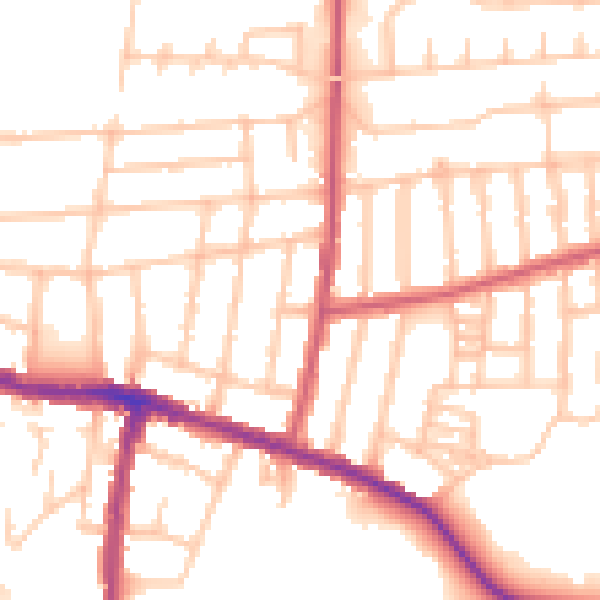
Daytime· 07:00 – 23:00
52.5dB

Night-time· 23:00 – 07:00
42.4dB