17 Grasdene Road, Greenwich, London, SE18 2AS
About 17 Grasdene Road
17 Grasdene Road is a property in Greenwich, London, London (SE18 2AS). It has council tax band D.
Untraded for 16 years, with the last transfer in September 2010. 4 planning records sit against the property, 3 approved, 1 refused. Past consents include an extension, meaningful when judging how the property has evolved.
Everything you need to know about 17 Grasdene Road
The true value, the hidden risks and the full sale history, in one report.
Pick your report · every report is £14.99
One time fee only - money back guarantee

The data behind every report


Energy performance
No EPC on record
This property doesn't have an Energy Performance Certificate yet. An EPC is required to sell or let — and unlocks our automated valuation.
Get a survey for this property
Level 2 HomeBuyer Report
We've checked 10 risk factors against the available data for this property and believe a Level 2 HomeBuyer Report could be a suitable option for you.
Planning history
17 Grasdene Road has 3 separate extension applications on the council record.
4 applications on record at 17 Grasdene Road, Greenwich, London, SE18 2AS
- Aug 2011ExtensionFullOutcome in report
Extension: Single storey · Rear of property
Erection of a single storey rear extension.
- Documents
- 5 docs on file
- Reference
- 11/1212/F
- More recent applications — locked
- OutlineJul 2024Decision
- ExtensionNov 2020Decision
+ 1 more application in the report
Unlock 17 Grasdene Road, Greenwich, London, SE18 2AS's full planning history
You're seeing the shape of it. The report has the substance.
- Every decision — granted, refused or withdrawn (4 on record)
- All 4 applications on this property in full, plus 43 notable nearby
- The 27 documents, officer reports & conditions
- What the pattern means for extending or converting here
One time fee only - money back guarantee
Sales history & valuation
£240,000
Recorded with HM Land Registry.
Sales timeline
29 September 2010Most recent
£240,000
Median price across the last 5 sales in SE18 2AS: £415,000 (2023–2013).
Nearby sales in SE18 2AS
41 Grasdene Road, Greenwich, London, SE18 2AS
Sold Dec 2023
£450,0001 Grasdene Road, Greenwich, London, SE18 2AS
Sold Dec 2020
£422,00025 Grasdene Road, Greenwich, London, SE18 2AS
Sold Feb 2018
£378,00011 Grasdene Road, Greenwich, London, SE18 2AS
Sold Sept 2013
£238,00019 Grasdene Road, Greenwich, London, SE18 2AS
Sold Jun 2007
£240,000
Everything you need to know about 17 Grasdene Road
The true value, the hidden risks and the full sale history, in one report.
Pick your report · every report is £14.99
One time fee only - money back guarantee
The data behind every report
Similar properties nearby
1 Bournewood Road, Greenwich
SE18 2AX
1 Flaxton Road, Greenwich
SE18 2EF
1 Alabama Street, Greenwich
SE18 2SJ
1 Bassant Road, Greenwich
SE18 2NP
1 Clothworkers Road, Greenwich
SE18 2PD
1 Combeside, Greenwich
SE18 2DP
1 Duncroft, Greenwich
SE18 2HZ
1 Erindale, Greenwich
SE18 2QQ
The neighbourhood at a glance
Reported crime in the wider district is trending notably upward year-on-year.
Crime
13/mo
Rising year-on-year across the wider district.
Nearest stop
0.1 km
Littledale — bus stop.
Closest school
0.8 km
Hillsgrove Primary School. 53 schools nearby.
Go deeper on the local area
A Local Area report breaks down crime, transport links, schools and air quality in depth.
Road noise across the postcode
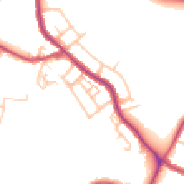
Daytime· 07:00 – 23:00
47.9dB

Night-time· 23:00 – 07:00
40.0dB