10 Harris Road, Dagenham, RM9 5DT
About 10 Harris Road
10 Harris Road is a three-bedroom end-of-terrace house in Dagenham (RM9 5DT). It has a recorded floor area of 81 m² (around 872 sq ft), construction records dating it to 1930-1949 and council tax band C. The latest certificate (September 2010) shows an E (score 48), well below the UK norm with real room to improve. The recommended improvements would push it to D (score 60). The latest certificate is from September 2010, so improvements made since then won't be reflected.
At 81 m² it's 15.7% larger than the typical home in the postcode (70 m² median across 36 EPCs). It lags the bulk of the postcode on energy efficiency (less efficient than 89% of similar EPCs). Across 2002–2016, sale prices on this property compounded at 10.6% per year. Today's modelled estimate of £406,000 is 28.5% above the 2016 sale price. On a £-per-square-foot basis, the last sale (£362/sq ft) was about 68.1% above the typical sold price in the postcode. Last changed hands 10 years ago, in August 2016. One planning record on file: an extension refused in 2011.
Know exactly what you're buying at 10 Harris Road
Before you offer, see what the listing won't tell you, the true value, the red flags and the full history.
Valuation
against the asking price
Risks
planning & flood
Sold prices
similar homes nearby
Trends
the local market
What this property has
Inside
- Bedrooms3
- Dining roomYes
Outside
- Private gardenYes
- ParkingOff road
Building
- RefurbishedYes
Energy performance
10 Harris Road's EPC is over a decade old — improvements since won't be reflected.
EPC Expired
This certificate is over 10 years old and is no longer valid.Expired 30 Sept 2020
EPC Rating
Planning history
- Mar 2011ExtensionFullIn report
Extension: Side and rear of property
Erection of two storey side and single storey rear extension.
- Documents
- 3 docs on file
- Reference
- 11/00041/FUL
What's in 10 Harris Road, Dagenham, RM9 5DT's planning history?
Refusals, disputes and full decisions on this property and nearby, in the report.
Sales history & valuation
Price for 10 Harris Road has grown more than fourfold since the 2002 starting point.
£406,000
Modelled from EPC, postcode comparables and a sale-price growth of 10.6% per year over 15 years.
£316,000
Growth on file: 10.6% per year over 15 years.
Sales timeline
25 August 2016Most recent
£316,000
+332.0%over 14 years31 January 2002
£73,150
Median price across the last 5 sales in RM9 5DT: £355,000 (2025–2019).
Everything we know about 10 Harris Road, in one report
What it's really worth, what could be wrong, and the planning, sales and area data in full.
- Am I paying too much?
- Is something wrong with it?
- Is the agent's story true?
- Will it hold its value?

Versus other Harris Road homes
CO₂ Emissions for 10 Harris Road lags the street by a wide margin.
Price per m²
£3,901
Street avg £3,446
Floor Area
81 m²
Street avg 72 m²
Habitable Rooms
4 rooms
Street avg 4 rooms
CO₂ Emissions
5.8 t/year
Street avg 3.1 t/year
Similar properties nearby
The neighbourhood at a glance
Rail-style transport is unusually close for this postcode.
Crime
16/mo
Steady year-on-year across the wider district.
Nearest stop
0.2 km
Barnmead Road — bus stop.
Closest school
0.3 km
Parsloes Primary School. 51 schools nearby.
Go deeper on the local area
The full report breaks down crime, transport links, schools and air quality in depth.
Road noise across the postcode
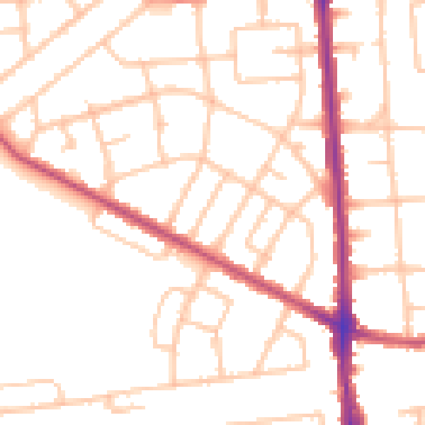
Daytime· 07:00 – 23:00
50.6dB

Night-time· 23:00 – 07:00
41.6dB