23 Oakapple Close, Cowfold, Horsham, RH13 8RU
About 23 Oakapple Close
23 Oakapple Close is a three-bedroom semi-detached house in Cowfold, Horsham, Horsham (RH13 8RU). It has a recorded floor area of 77 m² (around 829 sq ft), construction records dating it to 1983-1990 and council tax band D. The latest certificate (February 2024) shows an F (score 37), near the bottom of the EPC scale. The recommended improvements would lift it to B (score 83), a 4-band jump. Main heating runs on electricity. Our model identifies extension potential, subject to local planning policy.
On energy efficiency it sits in the bottom 10% of properties in this postcode — significant headroom for improvement. One planning record on file: an extension approved in 2024. Past consents include an extension, meaningful when judging how the property has evolved. Across 1995–2024, sale prices on this property compounded at 5.5% per year. Today's modelled estimate of £374,000 is 11% above the 2024 sale price. On a £-per-square-foot basis, the last sale (£407/sq ft) was about 140.1% above the typical sold price in the postcode. Most recent transfer: June 2024 at £337,000.
What this property has
Inside
- Bedrooms3
- Bathrooms2
Outside
- Private gardenYes
Building
- Heating systemElectric
- Extension potentialPossible
Everything you need to know about 23 Oakapple Close
The true value, the hidden risks and the full sale history, in one report.
Pick your report · every report is £14.99
One time fee only - money back guarantee

The data behind every report


Energy performance
23 Oakapple Close sits at the bottom of the postcode for energy efficiency — meaningful headroom to improve.
EPC Rating
Get a survey for this property
Level 3 Building Survey
Because the property has no mains gas supply, we believe a Level 3 building survey should be considered.
From £955 · Includes VAT
Planning history
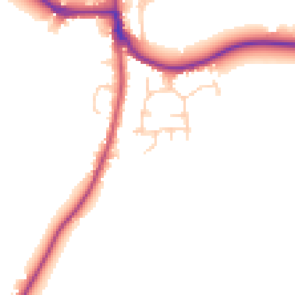
23 Oakapple Close has an approved single-storey side and rear extension on the planning record.
1 application on record at 23 Oakapple Close, Cowfold, Horsham, RH13 8RU
- Nov 2024ExtensionFullOutcome in report
Extension: Single storey · Side and rear of property
Erection of a single storey side and rear wraparound extension.
- Documents
- 14 docs on file
- Reference
- DC/24/1559
Unlock 23 Oakapple Close, Cowfold, Horsham, RH13 8RU's full planning history
You're seeing the shape of it. The report has the substance.
- Every decision — granted, refused or withdrawn (1 on record)
- All 1 application on this property in full, plus 9 notable nearby
- The 14 documents, officer reports & conditions
- What the pattern means for extending or converting here
One time fee only - money back guarantee
Sales history & valuation
Price for 23 Oakapple Close has grown more than fourfold since the 1995 starting point.
£374,000
Modelled from EPC, postcode comparables and a sale-price growth of 5.5% per year over 29 years.
£337,000
Growth on file: 5.5% per year over 29 years.
Sales timeline
9 June 2024Most recent
£337,000
+72.8%over 21 years24 April 2003
£195,000
+167.1%over 7 years30 August 1995
£73,000
Median price across the last 5 sales in RH13 8RU: £377,500 (2025–2022).
Nearby sales in RH13 8RU
15 Oakapple Close, Cowfold, Horsham, RH13 8RU
Sold Oct 2025
£377,5001 Oakapple Close, Cowfold, Horsham, RH13 8RU
Sold Oct 2024
£350,00017 Oakapple Close, Cowfold, Horsham, RH13 8RU
Sold Feb 2023
£375,00011 Oakapple Close, Cowfold, Horsham, RH13 8RU
Sold Oct 2022
£380,5002 Oakapple Close, Cowfold, Horsham, RH13 8RU
Sold Jul 2022
£382,500
Versus other Oakapple Close homes
On epc rating, 23 Oakapple Close runs well behind the street norm.
Price per m²
£4,377
Street avg £3,609
Floor Area
77 m²
Street avg 85 m²
Habitable Rooms
5 rooms
Street avg 5 rooms
CO₂ Emissions
4.9 t/year
Street avg 3.9 t/year
Everything you need to know about 23 Oakapple Close
The true value, the hidden risks and the full sale history, in one report.
Pick your report · every report is £14.99
One time fee only - money back guarantee
The data behind every report
Similar properties nearby
1 Baileys Cottages, Brooks Green Road, Coolham
RH13 8GR
1 Alley Groves, Cowfold
RH13 8BN
1 Buckwood Cottages, Worthing Road, West Grinstead
RH13 8GH
1 Champions Gate Cottages, Cowfold Road, West Grinstead
RH13 8LZ
1 Barrack Cottages, Brighton Road, Shermanbury
RH13 8HQ
1 Butchers Row, West Grinstead
RH13 8NF
1 Church Terrace, Station Road, Cowfold
RH13 8DA
1 Brockhurst Cottages, Billingshurst Road, Coolham
RH13 8QN
The neighbourhood at a glance
Daytime road noise here sits well below conversation level — a quiet pocket of the postcode.
Crime
3/mo
Steady year-on-year across the wider district.
Nearest stop
0.1 km
South Leas — bus stop.
Closest school
0.6 km
St Peter's CofE (Aided) Primary School. 1 school nearby.
Go deeper on the local area
A Local Area report breaks down crime, transport links, schools and air quality in depth.
Road noise across the postcode
Daytime· 07:00 – 23:00
47.7dB
Night-time· 23:00 – 07:00
41.5dB