5 Burns Close, Horsham, RH12 5PE
About 5 Burns Close
5 Burns Close is a two-bedroom mid-terrace house in Horsham (RH12 5PE). It has a recorded floor area of 66 m² (around 710 sq ft), construction records dating it to 1983-1990 and council tax band C. The latest certificate (March 2024) shows a C (score 69), just inside the C band. The rating has held steady at C across 2 certificates since October 2012. Between certificates, lighting went from Average to Good. The recommended improvements would push it to B (score 88).
Held since February 2007 — that's 19 years off the open market, well above the local norm. That sale landed at the peak of the pre-credit-crunch market, which is a useful reference point when interpreting the price. Across 1997–2007, sale prices on this property compounded at 10.8% per year. Today's modelled estimate of £349,000 sits 60.8% above the 2007 sale of £217,000. Its energy rating outperforms most of the postcode (better than 73% of similar EPCs).
What this property has
Inside
- Bedrooms2
Outside
- Private gardenYes
- ParkingYes
Building
- Central heatingYes
Everything you need to know about 5 Burns Close
The true value, the hidden risks and the full sale history, in one report.
Pick your report · every report is £14.99
One time fee only - money back guarantee

The data behind every report


Energy performance
EPC Rating
Property Improvements
Changes detected from historical EPC data
More low energy lighting installed
Get a survey for this property
Level 2 HomeBuyer Report
We've checked 10 risk factors against the available data for this property and believe a Level 2 HomeBuyer Report could be a suitable option for you.
From £595 · Includes VAT
Planning history
5 Burns Close has no planning applications on record.
But the area is active
1 notable application nearby — larger schemes and conversions that could reshape the street. The report maps them all.
Sales history & valuation
Sale price has at least doubled since 1997.
£349,000
Modelled from EPC, postcode comparables and a sale-price growth of 10.8% per year over 9 years.
£217,000
Growth on file: 10.8% per year over 9 years.
Sales timeline
16 February 2007Most recent
£217,000
+69.5%over 5 years28 August 2001
£128,000
+54.3%over 3 years16 October 1997
£82,950
Median price across the last 5 sales in RH12 5PE: £297,500 (2022–2016).
Versus other Burns Close homes
On price per m², 5 Burns Close runs well behind the street norm.
Price per m²
£3,288
Street avg £4,707
Floor Area
66 m²
Street avg 75 m²
Habitable Rooms
3 rooms
Street avg 4 rooms
CO₂ Emissions
2.5 t/year
Street avg 2.8 t/year
Everything you need to know about 5 Burns Close
The true value, the hidden risks and the full sale history, in one report.
Pick your report · every report is £14.99
One time fee only - money back guarantee
The data behind every report
Similar properties nearby
1 Bignor Close
RH12 5JQ
1 Cadogan Place, North Heath Lane
RH12 5AP
1 Adversane Court, Blenheim Road
RH12 5FA
1 Amundsen Road
RH12 5GE
1 Coleridge Close
RH12 5PB
1 Chennells Way
RH12 5TW
1 Badgers Close
RH12 5RU
1 Barnsnap Close
RH12 5XY
The neighbourhood at a glance
Rail-style transport is unusually close for this postcode.
Crime
2/mo
Steady year-on-year across the wider district.
Nearest stop
0.1 km
St Mark's Lane — bus stop.
Closest school
0.1 km
Holbrook Primary School. 16 schools nearby.
Go deeper on the local area
A Local Area report breaks down crime, transport links, schools and air quality in depth.
Road noise across the postcode
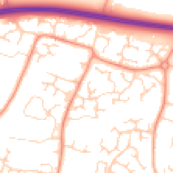
Daytime· 07:00 – 23:00
52.8dB

Night-time· 23:00 – 07:00
41.4dB