15 Burns Close, Horsham, RH12 5PE
About 15 Burns Close
15 Burns Close is a two-bedroom end-of-terrace house in Horsham (RH12 5PE). It has a recorded floor area of 58 m² (around 624 sq ft), construction records dating it to 1991-1995 and council tax band D. The latest certificate (January 2026) shows a D (score 65), on the cusp of jumping into the C band. The rating has held steady at D across 3 certificates since January 2013. Between certificates, lighting dropped from Very Good to Average. The recommended improvements would push it to C (score 77). This certificate was lodged in the last six months, so the rating reflects current condition.
Across 1998–2015, sale prices on this property compounded at 7.2% per year. Today's modelled estimate of £368,000 is 26% above the 2015 sale price. On a £-per-square-foot basis, the last sale (£468/sq ft) was about 67.8% above the typical sold price in the postcode. On the market in November 2015 and unlisted since — roughly 11 years.
What this property has
Inside
- Bedrooms2
- Bathrooms1
- Dining roomYes
Outside
- Private gardenYes
Building
- Heating systemGas
Everything you need to know about 15 Burns Close
The true value, the hidden risks and the full sale history, in one report.
Pick your report · every report is £14.99
One time fee only - money back guarantee

The data behind every report


Energy performance
The EPC has just been inspected, so the rating reflects current condition.
EPC Rating
Property Improvements
Changes detected from historical EPC data
Low energy lighting percentage decreased
Heating controls upgraded for better temperature management
More low energy lighting installed
Get a survey for this property
Level 2 HomeBuyer Report
We've checked 10 risk factors against the available data for this property and believe a Level 2 HomeBuyer Report could be a suitable option for you.
From £595 · Includes VAT
Planning history
15 Burns Close has no planning applications on record.
But the area is active
1 notable application nearby — larger schemes and conversions that could reshape the street. The report maps them all.
Sales history & valuation
15 Burns Close has more than tripled in price since its earliest registered sale in 1998.
£368,000
Modelled from EPC, postcode comparables and a sale-price growth of 7.2% per year over 18 years.
£292,000
Growth on file: 7.2% per year over 18 years.
Sales timeline
20 November 2015Most recent
£292,000
+243.7%over 17 years19 January 1998
£84,950
Median price across the last 5 sales in RH12 5PE: £297,500 (2022–2016).
Versus other Burns Close homes
Price per m²
£5,034
Street avg £4,532
Floor Area
58 m²
Street avg 76 m²
Habitable Rooms
3 rooms
Street avg 4 rooms
CO₂ Emissions
2.2 t/year
Street avg 2.9 t/year
Everything you need to know about 15 Burns Close
The true value, the hidden risks and the full sale history, in one report.
Pick your report · every report is £14.99
One time fee only - money back guarantee
The data behind every report
Similar properties nearby
1 Bignor Close
RH12 5JQ
1 Cadogan Place, North Heath Lane
RH12 5AP
1 Adversane Court, Blenheim Road
RH12 5FA
1 Amundsen Road
RH12 5GE
1 Coleridge Close
RH12 5PB
1 Chennells Way
RH12 5TW
1 Badgers Close
RH12 5RU
1 Cissbury Close
RH12 5JT
The neighbourhood at a glance
Rail-style transport is unusually close for this postcode.
Crime
2/mo
Steady year-on-year across the wider district.
Nearest stop
0.1 km
St Mark's Lane — bus stop.
Closest school
0.1 km
Holbrook Primary School. 16 schools nearby.
Go deeper on the local area
A Local Area report breaks down crime, transport links, schools and air quality in depth.
Road noise across the postcode
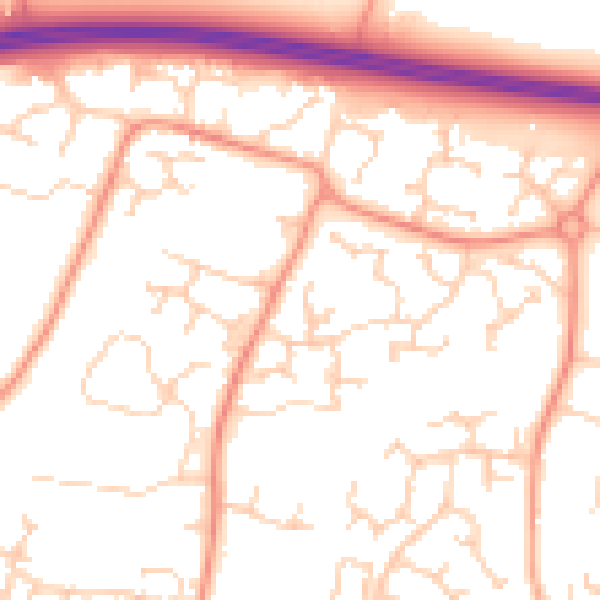
Daytime· 07:00 – 23:00
52.8dB

Night-time· 23:00 – 07:00
41.4dB