29 Bostock Avenue, Horsham, RH12 4EY
About 29 Bostock Avenue
29 Bostock Avenue is a four-bedroom semi-detached house in Horsham (RH12 4EY). It has a recorded floor area of 115 m² (around 1238 sq ft), construction records dating it to 1950-1966 and council tax band D. The property has solar panels on record, all of which lower running costs and tend to lift resale appeal. Other recorded features include a self-contained annexe. The latest certificate (February 2019) shows a C (score 76), near the top of the C band. The recommended improvements would push it to B (score 88).
At 115 m² the property is well over the postcode median (80 m² across 8 EPCs), placing it in the larger end of the local stock. On energy efficiency it sits in the top 10% of properties in this postcode. A recent sale: £510,000 in July 2025. One planning record on file: an extension approved in 2003. Past consents include an extension, meaningful when judging how the property has evolved. Across 1995–2025, sale prices on this property compounded at 6.3% per year. Today's modelled estimate of £586,000 is 14.9% above the 2025 sale price. On a £-per-square-foot basis, the last sale (£412/sq ft) was about 52.3% above the typical sold price in the postcode.
What this property has
Inside
- Bedrooms4
- Bathrooms3
- EnsuiteYes
- FireplaceYes
Outside
- GarageYes
Building
- Solar panelsYes
Everything you need to know about 29 Bostock Avenue
The true value, the hidden risks and the full sale history, in one report.
Pick your report · every report is £14.99
One time fee only - money back guarantee

The data behind every report


Energy performance
29 Bostock Avenue ranks among the most efficient homes in the postcode for energy use.
EPC Rating
Get a survey for this property
Level 3 Building Survey
Because the property has been extended more than once, we believe a Level 3 building survey should be considered.
From £1,085 · Includes VAT
Planning history
29 Bostock Avenue has an approved single-storey side extension on the planning record.
1 application on record at 29 Bostock Avenue, Horsham, RH12 4EY
- Mar 2003ExtensionFullOutcome in report
Extension: Single storey · Side of property
1st floor side extensionSite: 29 Bostock Avenue Horsham
- Reference
- NH/11/03
Unlock 29 Bostock Avenue, Horsham, RH12 4EY's full planning history
You're seeing the shape of it. The report has the substance.
- Every decision — granted, refused or withdrawn (1 on record)
- All 1 application on this property in full, plus 6 notable nearby
- What the pattern means for extending or converting here
One time fee only - money back guarantee
Sales history & valuation
Latest sale on 29 Bostock Avenue was the highest on Land Registry record across the postcode.
£586,000
Modelled from EPC, postcode comparables and a sale-price growth of 6.3% per year over 30 years.
£510,000
Growth on file: 6.3% per year over 30 years.
Sales timeline
21 July 2025Most recent
£510,000
+529.6%over 30 years14 June 1995
£81,000
Median price across the last 5 sales in RH12 4EY: £340,000 (2023–2014).
Nearby sales in RH12 4EY
Versus other Bostock Avenue homes
On years held, 29 Bostock Avenue runs well behind the street norm.
Price per m²
£4,435
Street avg £3,606
Floor Area
115 m²
Street avg 85 m²
Habitable Rooms
7 rooms
Street avg 5 rooms
CO₂ Emissions
3.3 t/year
Street avg 4.2 t/year
Everything you need to know about 29 Bostock Avenue
The true value, the hidden risks and the full sale history, in one report.
Pick your report · every report is £14.99
One time fee only - money back guarantee
The data behind every report
Similar properties nearby
1 Beech Road
RH12 4NR
1 Cherry Tree Walk
RH12 4UJ
1 Birch Court, Faygate
RH12 4AE
1 Brockwell Cottage, Faygate Lane, Faygate
RH12 4SH
1 Bramber Close
RH12 4LY
1 Church Cottages, High Street, Rusper
RH12 4PX
1 Ashurst Close
RH12 4JN
1 Bostock Avenue
RH12 4EY
The neighbourhood at a glance
Rail-style transport is unusually close for this postcode.
Crime
2/mo
Steady year-on-year across the wider district.
Nearest stop
0.1 km
Corner — bus stop.
Closest school
0.2 km
Oakfields Primary School, Horsham. 16 schools nearby.
Go deeper on the local area
A Local Area report breaks down crime, transport links, schools and air quality in depth.
Road noise across the postcode
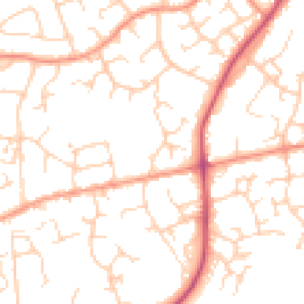
Daytime· 07:00 – 23:00
50.6dB

Night-time· 23:00 – 07:00
39.9dB