1 Arundale Walk, Horsham, RH12 1QW
About 1 Arundale Walk
1 Arundale Walk is a three-bedroom end-of-terrace house in Horsham (RH12 1QW). It has a recorded floor area of 119 m² (around 1281 sq ft) and council tax band E. The latest certificate (April 2016) returns a B (score 84), comfortably above the UK average. The recommended improvements would push it to A (score 94). The latest certificate is from April 2016, so improvements made since then won't be reflected. Other recorded features include outbuildings.
At 119 m² the property is well over the postcode median (78 m² across 44 EPCs), placing it in the larger end of the local stock. Today's modelled estimate of £570,000 is 22.6% above the 2016 sale price. On a £-per-square-foot basis, the last sale (£363/sq ft) was about 15% below the postcode norm. 10 years since the last transfer (May 2016).
What this property has
Inside
- Bedrooms3
- Bathrooms2
- EnsuiteYes
Outside
- Private gardenRear
- ParkingAllocated
- OutbuildingsYes
Building
- Heating systemGas
- RefurbishedYes
Everything you need to know about 1 Arundale Walk
The true value, the hidden risks and the full sale history, in one report.
Pick your report · every report is £14.99
One time fee only - money back guarantee

The data behind every report


Energy performance
EPC Expired
This certificate is over 10 years old and is no longer valid.Expired 10 Apr 2026
EPC Rating
Get a survey for this property
Level 3 Building Survey
Because the property has permanent outbuildings, we believe a Level 3 building survey should be considered.
From £1,085 · Includes VAT
Planning history
1 Arundale Walk has no planning applications on record.
But the area is active
1 notable application nearby — larger schemes and conversions that could reshape the street. The report maps them all.
Sales history & valuation
1 Arundale Walk valuation sits well clear of the typical sold price in this postcode.
£570,000
Modelled from EPC, postcode comparables.
£465,000
Recorded with HM Land Registry.
Sales timeline
22 May 2016Most recent
£465,000
Median price across the last 5 sales in RH12 1QW: £385,000 (2025–2023).
Nearby sales in RH12 1QW
Versus other Arundale Walk homes
On years held, 1 Arundale Walk stands well clear of the street.
Price per m²
£3,908
Street avg £4,645
Floor Area
119 m²
Street avg 84 m²
CO₂ Emissions
1.7 t/year
Street avg 1.3 t/year
Years Held
10 years
Street avg 7 years
Everything you need to know about 1 Arundale Walk
The true value, the hidden risks and the full sale history, in one report.
Pick your report · every report is £14.99
One time fee only - money back guarantee
The data behind every report
Similar properties nearby
1 Alder Copse
RH12 1LD
1 Brockhurst Close
RH12 1UY
1 Barn Cottage, Talbot Lane
RH12 1ES
1 Anchor Court, Talbot Lane
RH12 1ET
1 Chichester Terrace
RH12 1DB
1 Bishopric Court
RH12 1TH
1 Avery Drive
RH12 1ZY
1 Brook Terrace, Talbot Lane
RH12 1ES
The neighbourhood at a glance
Crime
2/mo
Steady year-on-year across the wider district.
Nearest stop
0.3 km
Stoneybrook — bus stop.
Closest school
0.4 km
Tanbridge House School. 8 schools nearby.
Go deeper on the local area
A Local Area report breaks down crime, transport links, schools and air quality in depth.
Road noise across the postcode
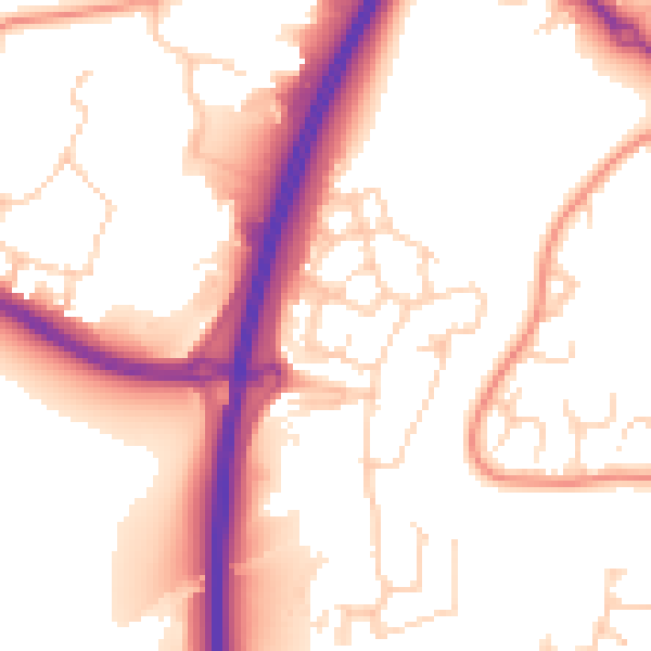
Daytime· 07:00 – 23:00
53.9dB

Night-time· 23:00 – 07:00
44.4dB