12 The Wynd, Forest Hall, Newcastle Upon Tyne, NE12 9DB
About 12 The Wynd
12 The Wynd is a three-bedroom semi-detached house in Forest Hall, Newcastle Upon Tyne, Newcastle Upon Tyne (NE12 9DB). It has a recorded floor area of 74 m² (around 797 sq ft), construction records dating it to 1983-1990 and council tax band C. The latest certificate (April 2022) shows a D (score 64), on the cusp of jumping into the C band. The rating has held steady at D across 2 certificates since February 2022. The recommended improvements would lift it to B (score 81), a 2-band jump. Main heating runs on electricity. Other recorded features include a conservatory. Records show the property has been extended at some point in its history.
One planning record on file: an extension approved in 2005. Past consents include an extension and a conservatory, meaningful when judging how the property has evolved. Across 1999–2024, sale prices on this property compounded at 4.8% per year. Today's modelled estimate of £239,000 is 13.8% above the 2024 sale price. On a £-per-square-foot basis, the last sale (£264/sq ft) was about 63.5% above the typical sold price in the postcode. Last sale on file: £210,000 in March 2024.
What this property has
Inside
- Bedrooms3
- Bathrooms2
- ConservatoryYes
Outside
- GarageSingle, Integral
Building
- Previously extendedYes
Everything you need to know about 12 The Wynd
The true value, the hidden risks and the full sale history, in one report.
Pick your report · from £14.99
One time fee only - money back guarantee

The data behind every report







Energy performance
Recommended upgrades on file would lift this property by multiple EPC bands.
EPC Rating
Certificate validity
Valid until 5 April 2032
Property Improvements
Changes detected from historical EPC data
Heat pump installed, significantly improving energy efficiency
Changed to a more efficient fuel source

Get a survey for this property
Level 3 Building Survey
Because the property has been extended more than once, we believe a Level 3 building survey should be considered.
From £885 · Includes VAT
Planning history
12 The Wynd has an approved rear extension on the planning record.
1 application on record at 12 The Wynd, Forest Hall, Newcastle Upon Tyne, NE12 9DB
- Oct 2005ConservatoryFullOutcome in report
Extension: Rear of property
Conservatory to rear
Extension- Documents
- 1 doc on file
- Reference
- 05/02796/FUL
Unlock 12 The Wynd, Forest Hall, Newcastle Upon Tyne, NE12 9DB's full planning history
You're seeing the shape of it. The report has the substance.
- Every decision — granted, refused or withdrawn (1 on record)
- All 1 application on this property in full, plus 1 notable nearby
- The 1 documents, officer reports & conditions
- What the pattern means for extending or converting here
One time fee only - money back guarantee
Sales history & valuation
12 The Wynd has more than tripled in price since its earliest registered sale in 1999.
£239,000
Modelled from EPC, postcode comparables and a sale-price growth of 4.8% per year over 24 years.
£210,000
Growth on file: 4.8% per year over 24 years.
Sales timeline
8 March 2024Most recent
£210,000
+31.3%over 18 years28 April 2005
£160,000
+137.9%over 5 years28 October 1999
£67,250
Median price across the last 5 sales in NE12 9DB: £186,000 (2026–2021).
Nearby sales in NE12 9DB
22 The Wynd, Forest Hall, Newcastle Upon Tyne, NE12 9DB
Sold May 2026
£250,00028 The Wynd, Forest Hall, Newcastle Upon Tyne, NE12 9DB
Sold Aug 2024
£215,00030 The Wynd, Forest Hall, Newcastle Upon Tyne, NE12 9DB
Sold May 2024
£177,50015 The Wynd, Forest Hall, Newcastle Upon Tyne, NE12 9DB
Sold Feb 2024
£170,0009 The Wynd, Forest Hall, Newcastle Upon Tyne, NE12 9DB
Sold Mar 2021
£186,000
Versus other The Wynd homes
12 The Wynd outperforms the street on habitable rooms by a wide margin.
Price per m²
£2,838
Street avg £2,048
Floor Area
74 m²
Street avg 73 m²
Habitable Rooms
5 rooms
Street avg 4 rooms
CO₂ Emissions
3.1 t/year
Street avg 2.9 t/year
Everything you need to know about 12 The Wynd
The true value, the hidden risks and the full sale history, in one report.
Pick your report · from £14.99
One time fee only - money back guarantee
The data behind every report
Similar properties nearby
1 Clifton Terrace
NE12 9NP
1 Beal Drive
NE12 9EH
1 Crescent Way
NE12 9AQ
1 Belvedere Gardens, Benton
NE12 9PG
1 Cooperative Terrace, Palmersville
NE12 9HH
1 Christ Church, Forest Avenue
NE12 9BT
1 Briarsyde
NE12 9SL
1 Clousden Drive
NE12 9DR
The neighbourhood at a glance
Rail-style transport is unusually close for this postcode.
Crime
170/mo
Falling year-on-year across the wider district.
Nearest stop
0.1 km
Clousden Hill — bus stop.
Closest school
0.3 km
Ivy Road Primary School. 23 schools nearby.
Go deeper on the local area
A Local Area report breaks down crime, transport links, schools and air quality in depth.
Road noise across the postcode
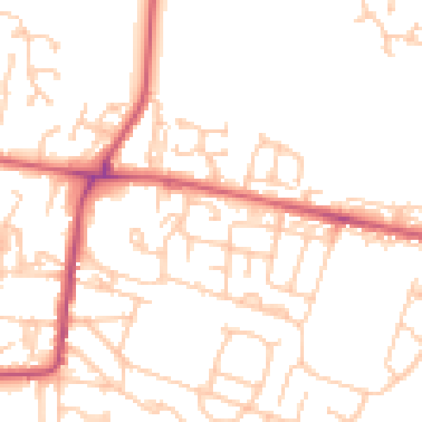
Daytime· 07:00 – 23:00
50.1dB
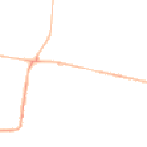
Night-time· 23:00 – 07:00
40.0dB