13a, West Street, Rochester, ME2 3XG
About 13a
13a is a two-bedroom end-of-terrace house in Rochester (ME2 3XG). It has a recorded floor area of 56 m² (around 603 sq ft), construction records dating it to before 1900 and council tax band B. The latest certificate (February 2016) shows an E (score 45), well below the UK norm with real room to improve. The recommended improvements would lift it to C (score 80), a 2-band jump. The latest certificate is from February 2016, so improvements made since then won't be reflected.
Most recent transfer: October 2020 at £185,000. Across the public record there are 5 sales, relatively high churn for a single property. At 56 m² it's 21.1% smaller than the typical home in the postcode (71 m² median across 22 EPCs). It lags the bulk of the postcode on energy efficiency (less efficient than 82% of similar EPCs). Across 1997–2020, sale prices on this property compounded at 6.6% per year. Today's modelled estimate of £230,000 is 24.3% above the 2020 sale price. On a £-per-square-foot basis, the last sale (£307/sq ft) was about 64.3% above the typical sold price in the postcode.
Know exactly what you're buying at 13a
Before you offer, see what the listing won't tell you, the true value, the red flags and the full history.
Already flagged here
Valuation
against the asking price
Risks
planning & flood
Sold prices
similar homes nearby
Trends
the local market
What this property has
Inside
- Bedrooms2
- Bathrooms1
Outside
- Private gardenYes
- GarageYes
Building
- RefurbishedYes
Energy performance
Recommended upgrades on file would lift this property by multiple EPC bands.
EPC Expired
This certificate is over 10 years old and is no longer valid.Expired 24 Feb 2026
EPC Rating
Planning history
13a has no planning applications on record.
Notable planning nearby
12applications of note in the surrounding area
We flagged 2 things worth checking at 13a
Independent checks surfaced things a buyer would want to understand before offering. The report explains each one in full, with the underlying data and what to ask.
- Signs of HMO activity in the area
- Larger development activity nearby
30-day money-back guarantee
Sales history & valuation
Price for 13a has grown more than fourfold since the 1997 starting point.
£230,000
Modelled from EPC, postcode comparables and a sale-price growth of 6.6% per year over 23 years.
£185,000
Growth on file: 6.6% per year over 23 years.
Sales timeline
22 October 2020Most recent
£185,000
-2.6%over 3 years4 May 2017
£190,000
+40.7%over 10 years22 January 2007
£135,000
+15.4%over 2 years29 November 2004
£117,000
+172.1%over 7 years21 November 1997
£43,000
Median price across the last 5 sales in ME2 3XG: £243,500 (2025–2022).
Nearby sales in ME2 3XG
Everything we know about 13a, in one report
What it's really worth, what could be wrong, and the planning, sales and area data in full.
What we flagged
- Signs of HMO activity in the area
- Larger development activity nearby

Versus other West Street homes
On epc rating, 13a runs well behind the street norm.
Price per m²
£3,304
Street avg £2,732
Floor Area
56 m²
Street avg 74 m²
Habitable Rooms
4 rooms
Street avg 4 rooms
CO₂ Emissions
4.4 t/year
Street avg 3.1 t/year
Similar properties nearby
1 Cecil Avenue
ME2 3EA
1 Cambridge Road
ME2 3HW
1 Cliffe Road
ME2 3DY
1 Brompton Lane
ME2 3BH
1 Cross Street
ME2 3AE
1 Barnets Yard, West Street
ME2 3XG
1 Banning Street
ME2 3AG
1 Allington Drive
ME2 3SR
The neighbourhood at a glance
Rail-style transport is unusually close for this postcode.
Crime
3/mo
Steady year-on-year across the wider district.
Nearest stop
0.1 km
The Ship — bus stop.
Closest school
0.2 km
Hilltop Primary School. 19 schools nearby.
Go deeper on the local area
The full report breaks down crime, transport links, schools and air quality in depth.
Road noise across the postcode
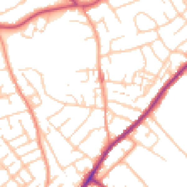
Daytime· 07:00 – 23:00
51.6dB

Night-time· 23:00 – 07:00
41.7dB