10 Belgrave Avenue, Urmston, Manchester, M41 8SR
About 10 Belgrave Avenue
10 Belgrave Avenue is a four-bedroom detached house in Urmston, Manchester, Manchester (M41 8SR). It has a recorded floor area of 133 m² (around 1436 sq ft), construction records dating it to 1930-1949 and council tax band E. The latest certificate (July 2009) shows an E (score 53), well below the UK norm with real room to improve. The recommended improvements would lift it to C (score 71), a 2-band jump. The latest certificate is from July 2009, so improvements made since then won't be reflected. Other recorded features include outbuildings. Records show the property has been extended at some point in its history.
Held since December 2009 — that's 16 years off the open market, well above the local norm. That sale fell during the post-crash dip, which often skews comparisons against later neighbouring sales. Across 2001–2009, sale prices on this property compounded at 4.9% per year. Today's modelled estimate of £569,000 sits 66.4% above the 2009 sale of £342,000. At 133 m² it's 17% larger than the typical home in the postcode (114 m² median across 7 EPCs). It lags the bulk of the postcode on energy efficiency (less efficient than 86% of similar EPCs).
What this property has
Inside
- Bedrooms4
- Dining roomYes
- Utility roomYes
- CloakroomYes
- EnsuiteYes
- FireplaceYes
Outside
- Private gardenRear
- ParkingOff road
- OutbuildingsYes
Building
- Previously extendedYes
Everything you need to know about 10 Belgrave Avenue
The true value, the hidden risks and the full sale history, in one report.
Pick your report · every report is £14.99
One time fee only - money back guarantee

The data behind every report


Energy performance
10 Belgrave Avenue's carbon output runs well above what efficient homes in the postcode produce.
EPC Expired
This certificate is over 10 years old and is no longer valid.Expired 10 Jul 2019
EPC Rating
Get a survey for this property
Level 3 Building Survey
Because the property has been extended more than once and has permanent outbuildings, we believe a Level 3 building survey should be considered.
From £1,085 · Includes VAT
Planning history
10 Belgrave Avenue has no planning applications on record.
A planning report still maps activity across the surrounding area and reads this property's extension & conversion potential.
Sales history & valuation
10 Belgrave Avenue saw 3 transfers in just over a decade — high turnover for the postcode.
£569,000
Modelled from EPC, postcode comparables and a sale-price growth of 4.9% per year over 8 years.
£342,000
Growth on file: 4.9% per year over 8 years.
Sales timeline
18 December 2009Most recent
£342,000
+1.6%over 3 years18 December 2006
£336,750
+46.4%over 5 years27 September 2001
£230,000
Median price across the last 5 sales in M41 8SR: £555,000 (2025–2019).
Nearby sales in M41 8SR
3 Belgrave Avenue, Urmston, Manchester, M41 8SR
Sold Nov 2025
£592,5001 Belgrave Avenue, Urmston, Manchester, M41 8SR
Sold Nov 2021
£700,00016 Belgrave Avenue, Urmston, Manchester, M41 8SR
Sold Jun 2021
£555,00018 Belgrave Avenue, Urmston, Manchester, M41 8SR
Sold Apr 2018
£2,50017 Belgrave Avenue, Urmston, Manchester, M41 8SR
Sold Nov 2015
£267,000
Versus other Belgrave Avenue homes
10 Belgrave Avenue is notably below the street on epc rating.
Price per m²
£2,564
Street avg £3,802
Floor Area
133 m²
Street avg 118 m²
Habitable Rooms
7 rooms
Street avg 6 rooms
CO₂ Emissions
7.3 t/year
Street avg 6.7 t/year
Everything you need to know about 10 Belgrave Avenue
The true value, the hidden risks and the full sale history, in one report.
Pick your report · every report is £14.99
One time fee only - money back guarantee
The data behind every report
Similar properties nearby
1 Chiltern Avenue, Urmston
M41 8SX
1 Calderbank Avenue, Urmston
M41 8SJ
1 Cranford Gardens, Urmston
M41 8SP
1 Daresbury Avenue, Urmston
M41 8GJ
1 Ashworth Avenue, Urmston
M41 8TH
1 Bishop Road, Urmston
M41 8QU
1 Aldermere Crescent, Urmston
M41 8UE
1 Ashbourne Avenue, Urmston
M41 8UQ
The neighbourhood at a glance
Crime
1/mo
Steady year-on-year across the wider district.
Nearest stop
0.1 km
Lawrence Road — bus stop.
Closest school
0.7 km
Acre Hall Primary School. 20 schools nearby.
Go deeper on the local area
A Local Area report breaks down crime, transport links, schools and air quality in depth.
Road noise across the postcode
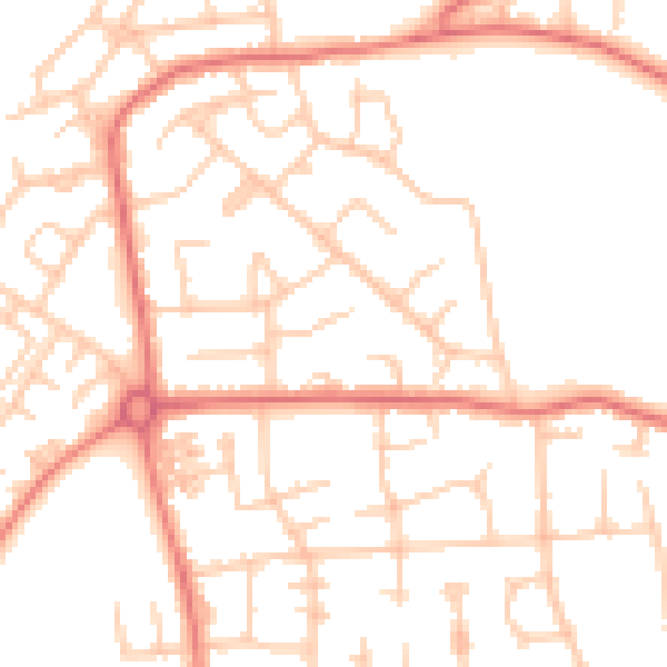
Daytime· 07:00 – 23:00
51.0dB

Night-time· 23:00 – 07:00
39.7dB