1 Calderbank Avenue, Urmston, Manchester, M41 8SJ
About 1 Calderbank Avenue
1 Calderbank Avenue is a four-bedroom semi-detached house in Urmston, Manchester, Manchester (M41 8SJ). It has a recorded floor area of 160 m² (around 1727 sq ft), construction records dating it to 1950-1966 and council tax band E. The latest certificate (February 2010) shows a D (score 62), on the cusp of jumping into the C band. The recommended improvements would push it to C (score 72). The latest certificate is from February 2010, so improvements made since then won't be reflected.
Untraded for 27 years, with the last transfer in October 1999. Only one transfer is on record with HM Land Registry, suggesting it has stayed in the same hands for a long time. Today's modelled estimate of £517,000 sits 383.2% above the 1999 sale of £107,000. On a £-per-square-foot basis, the last sale (£62/sq ft) was about 77.4% below the postcode norm. At 160 m² it's 18.9% larger than the typical home in the postcode (135 m² median across 7 EPCs).
What this property has
Inside
- Bedrooms4
- Dining roomYes
- Utility roomYes
- CloakroomYes
- StudyYes
Outside
- Private gardenRear
- ParkingOff road
Building
- Heating systemGas
Everything you need to know about 1 Calderbank Avenue
The true value, the hidden risks and the full sale history, in one report.
Pick your report · every report is £14.99
One time fee only - money back guarantee

The data behind every report


Energy performance
1 Calderbank Avenue's carbon output runs well above what efficient homes in the postcode produce.
EPC Expired
This certificate is over 10 years old and is no longer valid.Expired 10 Feb 2020
EPC Rating
Get a survey for this property
Level 3 Building Survey
Because the property has been extended more than once, we believe a Level 3 building survey should be considered.
From £1,085 · Includes VAT
Planning history
1 Calderbank Avenue has no planning applications on record.
A planning report still maps activity across the surrounding area and reads this property's extension & conversion potential.
Sales history & valuation
1 Calderbank Avenue's modelled value sits at over four times its earliest registered sale price (1999).
£517,000
Modelled from EPC, postcode comparables.
£107,000
Recorded with HM Land Registry.
Sales timeline
13 October 1999Most recent
£107,000
Median price across the last 5 sales in M41 8SJ: £426,500 (2020–2014).
Nearby sales in M41 8SJ
12 Calderbank Avenue, Urmston, Manchester, M41 8SJ
Sold Dec 2020
£450,0008 Calderbank Avenue, Urmston, Manchester, M41 8SJ
Sold Feb 2020
£426,5006 Calderbank Avenue, Urmston, Manchester, M41 8SJ
Sold Jan 2019
£580,00016 Calderbank Avenue, Urmston, Manchester, M41 8SJ
Sold Jun 2014
£315,0002 Calderbank Avenue, Urmston, Manchester, M41 8SJ
Sold Aug 2001
£100,000
Versus other Calderbank Avenue homes
On price per m², 1 Calderbank Avenue runs well behind the street norm.
Price per m²
£667
Street avg £3,231
Floor Area
160 m²
Street avg 134 m²
Habitable Rooms
9 rooms
Street avg 6 rooms
CO₂ Emissions
7.0 t/year
Street avg 5.2 t/year
Everything you need to know about 1 Calderbank Avenue
The true value, the hidden risks and the full sale history, in one report.
Pick your report · every report is £14.99
One time fee only - money back guarantee
The data behind every report
Similar properties nearby
1 Chiltern Avenue, Urmston
M41 8SX
1 Cranford Gardens, Urmston
M41 8SP
1 Daresbury Avenue, Urmston
M41 8GJ
1 Ashworth Avenue, Urmston
M41 8TH
1 Bishop Road, Urmston
M41 8QU
1 Aldermere Crescent, Urmston
M41 8UE
1 Ashbourne Avenue, Urmston
M41 8UQ
1 Cecil Drive, Urmston
M41 8UW
The neighbourhood at a glance
Crime
1/mo
Steady year-on-year across the wider district.
Nearest stop
0.2 km
Calderbank Avenue — bus stop.
Closest school
0.9 km
Acre Hall Primary School. 21 schools nearby.
Go deeper on the local area
A Local Area report breaks down crime, transport links, schools and air quality in depth.
Road noise across the postcode
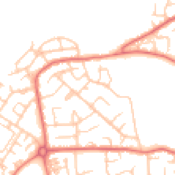
Daytime· 07:00 – 23:00
50.9dB

Night-time· 23:00 – 07:00
40.4dB