32 Kynder Street, Denton, Manchester, M34 2AR
About 32 Kynder Street
32 Kynder Street is a three-bedroom mid-terrace house in Denton, Manchester, Manchester (M34 2AR). It has a recorded floor area of 77 m² (around 829 sq ft), construction records dating it to 1930-1949 and council tax band A. The latest certificate (November 2013) shows an E (score 51), well below the UK norm with real room to improve. The rating has held steady at E across 2 certificates since February 2011. Between certificates, roof efficiency dropped from Average to Poor and lighting dropped from Poor to Very Poor. The recommended improvements would lift it to B (score 85), a 3-band jump. The latest certificate is from November 2013, so improvements made since then won't be reflected.
On energy efficiency it sits in the bottom 10% of properties in this postcode — significant headroom for improvement. Last sold in April 2017, so it's been off the market for around 9 years. Across the public record there are 4 sales, relatively high churn for a single property. Across 2001–2017, sale prices on this property compounded at 9% per year. Today's modelled estimate of £189,000 is 45.4% above the 2017 sale price. On a £-per-square-foot basis, the last sale (£157/sq ft) was about 46.9% above the typical sold price in the postcode.
What this property has
Inside
- Bedrooms3
Everything you need to know about 32 Kynder Street
The true value, the hidden risks and the full sale history, in one report.
Pick your report · every report is £14.99
One time fee only - money back guarantee

The data behind every report


Energy performance
32 Kynder Street sits at the bottom of the postcode for energy efficiency — meaningful headroom to improve.
EPC Expired
This certificate is over 10 years old and is no longer valid.Expired 27 Nov 2023
EPC Rating
Get a survey for this property
Level 2 HomeBuyer Report
We've checked 10 risk factors against the available data for this property and believe a Level 2 HomeBuyer Report could be a suitable option for you.
From £495 · Includes VAT
Planning history
32 Kynder Street has no planning applications on record.
But the area is active
3 notable applications nearby — larger schemes and conversions that could reshape the street. The report maps them all.
Sales history & valuation
32 Kynder Street has more than tripled in price since its earliest registered sale in 2001.
£189,000
Modelled from EPC, postcode comparables and a sale-price growth of 9.0% per year over 15 years.
£130,000
Growth on file: 9.0% per year over 15 years.
Sales timeline
25 April 2017Most recent
£130,000
+36.8%over 3 years2 October 2013
£95,000
+50.9%over 11 years8 July 2002
£62,950
+82.5%over 7 months20 December 2001
£34,500
Median price across the last 5 sales in M34 2AR: £162,000 (2025–2023).
Nearby sales in M34 2AR
28 Kynder Street, Denton, Manchester, M34 2AR
Sold Aug 2025
£181,00020 Kynder Street, Denton, Manchester, M34 2AR
Sold Jun 2025
£190,0002 Kynder Street, Denton, Manchester, M34 2AR
Sold Dec 2024
£162,0005 Kynder Street, Denton, Manchester, M34 2AR
Sold Jan 2024
£155,00091 Kynder Street, Denton, Manchester, M34 2AR
Sold Mar 2023
£141,000
Versus other Kynder Street homes
On co₂ emissions, 32 Kynder Street runs well behind the street norm.
Price per m²
£1,688
Street avg £1,749
Floor Area
77 m²
Street avg 72 m²
Habitable Rooms
5 rooms
Street avg 4 rooms
CO₂ Emissions
4.9 t/year
Street avg 3.4 t/year
Everything you need to know about 32 Kynder Street
The true value, the hidden risks and the full sale history, in one report.
Pick your report · every report is £14.99
One time fee only - money back guarantee
The data behind every report
Similar properties nearby
1 Ash Road, Denton
M34 2WE
1 Cedar Grove, Denton
M34 2BD
1 Cooke Street, Denton
M34 2AG
1 Clarkson Close, Denton
M34 2DS
1 Balmoral Drive, Denton
M34 2JT
1 Ashbrook Avenue, Denton
M34 2QJ
1 Coppice Walk, Denton
M34 2DE
1 Acre Street, Denton
M34 2AE
The neighbourhood at a glance
Crime
1/mo
Steady year-on-year across the wider district.
Nearest stop
0.1 km
St Lawrence's Church — bus stop.
Closest school
0.1 km
St Mary's RC Primary School. 26 schools nearby.
Go deeper on the local area
A Local Area report breaks down crime, transport links, schools and air quality in depth.
Road noise across the postcode
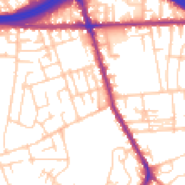
Daytime· 07:00 – 23:00
53.5dB

Night-time· 23:00 – 07:00
43.6dB