13 Longford Road, Chorlton Cum Hardy, Manchester, M21 9WP
About 13 Longford Road
13 Longford Road is a three-bedroom mid-terrace house in Chorlton Cum Hardy, Manchester, Manchester (M21 9WP). It has a recorded floor area of 106 m² (around 1141 sq ft), construction records dating it to 1900-1929 and council tax band B. The latest certificate (April 2016) shows an E (score 50), well below the UK norm with real room to improve. Earlier certificates rated it D (July 2011); the latest reading is one band lower. Between certificates, window efficiency went from Poor to Average and lighting went from Average to Very Good; while roof efficiency dropped from Good to Very Poor. The recommended improvements would lift it to C (score 76), a 2-band jump. The latest certificate is from April 2016, so improvements made since then won't be reflected.
Sold June 2024 for £415,000. Across the public record there are 4 sales, relatively high churn for a single property. It lags the bulk of the postcode on energy efficiency (less efficient than 70% of similar EPCs). Across 2004–2024, sale prices on this property compounded at 5.6% per year. Today's modelled estimate of £500,000 is 20.5% above the 2024 sale price. On a £-per-square-foot basis, the last sale (£364/sq ft) was about 86% above the typical sold price in the postcode. 2 planning records sit against the property, 2 approved, 0 refused.
Know exactly what you're buying at 13 Longford Road
Before you offer, see what the listing won't tell you, the true value, the red flags and the full history.
Already flagged here
Valuation
against the asking price
Risks
planning & flood
Sold prices
similar homes nearby
Trends
the local market
What this property has
Inside
- Bedrooms3
- Bathrooms1
Energy performance
13 Longford Road's carbon output runs well above what efficient homes in the postcode produce.
EPC Expired
This certificate is over 10 years old and is no longer valid.Expired 28 Apr 2026
EPC Rating
Property Improvements
Changes detected from historical EPC data
Heating controls upgraded for better temperature management
Windows upgraded, improving insulation
More low energy lighting installed
Planning history
- Mar 2026RenovationFullIn report
Installation of electric vehicle charger
- Documents
- 8 docs on file
- Reference
- 145028/FH/2026
- Apr 2015OutlineIn report
Certificate of Lawful Proposed Development for the installation of a dormer window on the rear elevation.
- Agent
- LC Blueprints
- Documents
- 6 docs on file
- Reference
- 108222/LP/2015/S1
We flagged 1 thing worth checking at 13 Longford Road
Independent checks surfaced things a buyer would want to understand before offering. The report explains each one in full, with the underlying data and what to ask.
- Larger development activity nearby
30-day money-back guarantee
Sales history & valuation
Sale price has at least doubled since 2004.
£500,000
Modelled from EPC, postcode comparables and a sale-price growth of 5.6% per year over 20 years.
£415,000
Growth on file: 5.6% per year over 20 years.
Sales timeline
26 June 2024Most recent
£415,000
+30.5%over 7 years4 August 2016
£318,000
+50.0%over 4 years31 May 2012
£212,000
+51.4%over 7 years22 July 2004
£140,000
Median price across the last 5 sales in M21 9WP: £510,500 (2025–2024).
Nearby sales in M21 9WP
27 Longford Road, Chorlton Cum Hardy, Manchester, M21 9WP
Sold Oct 2025
£510,50023 Longford Road, Chorlton Cum Hardy, Manchester, M21 9WP
Sold May 2025
£359,00053 Longford Road, Chorlton Cum Hardy, Manchester, M21 9WP
Sold Sept 2024
£595,00017 Longford Road, Chorlton Cum Hardy, Manchester, M21 9WP
Sold Jun 2024
£435,00067 Longford Road, Chorlton Cum Hardy, Manchester, M21 9WP
Sold Jun 2024
£570,000
Everything we know about 13 Longford Road, in one report
What it's really worth, what could be wrong, and the planning, sales and area data in full.
What we flagged
- Larger development activity nearby

Versus other Longford Road homes
On co₂ emissions, 13 Longford Road runs well behind the street norm.
Price per m²
£3,915
Street avg £3,499
Floor Area
106 m²
Street avg 106 m²
Habitable Rooms
6 rooms
Street avg 5 rooms
CO₂ Emissions
7.4 t/year
Street avg 4.9 t/year
Similar properties nearby
The neighbourhood at a glance
Rail-style transport is unusually close for this postcode.
Nearest stop
0.3 km
Chorlton Library — bus stop.
Closest school
0.1 km
St John's RC Primary School. 37 schools nearby.
Go deeper on the local area
The full report breaks down crime, transport links, schools and air quality in depth.
Road noise across the postcode
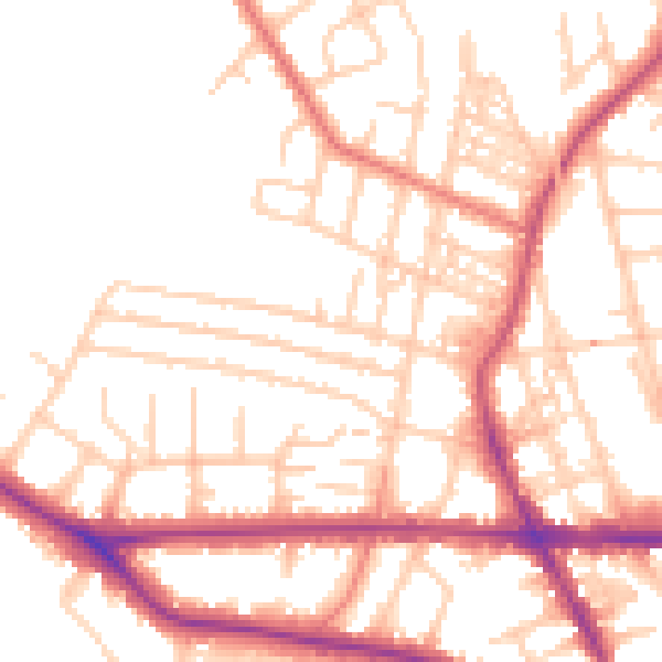
Daytime· 07:00 – 23:00
52.7dB

Night-time· 23:00 – 07:00
42.9dB