4 Ryebank Mews, Ryebank Road, Chorlton Cum Hardy, Manchester, M21 9LY
About 4 Ryebank Mews
4 Ryebank Mews is a two-bedroom mid-terrace house in Chorlton Cum Hardy, Manchester, Manchester (M21 9LY). It has a recorded floor area of 59 m² (around 635 sq ft), construction records dating it to 1976-1982 and council tax band B. The latest certificate (April 2024) shows a D (score 59), a step below the typical UK home. The rating has held steady at D across 2 certificates since October 2008. Between certificates, wall efficiency went from Poor to Average and lighting went from Good to Very Good; while roof efficiency dropped from Good to Average and hot-water efficiency dropped from Average to Poor. The recommended improvements would lift it to B (score 90), a 2-band jump. Main heating runs on electricity.
Across 2004–2015, sale prices on this property compounded at 2.6% per year. Today's modelled estimate of £251,000 sits 61.9% above the 2015 sale of £155,000. On a £-per-square-foot basis, the last sale (£244/sq ft) was about 20.1% above the typical sold price in the postcode. Last sold in October 2015, so it's been off the market for around 11 years.
Know exactly what you're buying at 4 Ryebank Mews
Before you offer, see what the listing won't tell you, the true value, the red flags and the full history.
Already flagged here
Valuation
against the asking price
Risks
planning & flood
Sold prices
similar homes nearby
Trends
the local market
What this property has
Inside
- Bedrooms2
- Bathrooms1
- Open-plan layoutYes
- Dining roomYes
Outside
- Private gardenFront
- ParkingOff road
Building
- RefurbishedYes
Energy performance
Recommended upgrades on file would lift this property by multiple EPC bands.
EPC Rating
Property Improvements
Changes detected from historical EPC data
Heating system changed
Heating controls upgraded for better temperature management
Hot water efficiency decreased
Wall insulation upgraded
More low energy lighting installed
Planning history
4 Ryebank Mews has no planning applications on record.
Notable planning nearby
4applications of note in the surrounding area
We flagged 1 thing worth checking at 4 Ryebank Mews
Independent checks surfaced things a buyer would want to understand before offering. The report explains each one in full, with the underlying data and what to ask.
- Larger development activity nearby
30-day money-back guarantee
Sales history & valuation
4 Ryebank Mews valuation sits well clear of the typical sold price in this postcode.
£251,000
Modelled from EPC, postcode comparables and a sale-price growth of 2.6% per year over 11 years.
£155,000
Growth on file: 2.6% per year over 11 years.
Sales timeline
1 October 2015Most recent
£155,000
+34.8%over 11 years29 April 2004
£115,000
Median price across the last 5 sales in M21 9LY: £237,000 (2025–2020).
Nearby sales in M21 9LY
5 Ryebank Mews, Ryebank Road, Chorlton Cum Hardy, Manchester, M21 9LY
Sold Jan 2025
£245,00015 Ryebank Mews, Ryebank Road, Chorlton Cum Hardy, Manchester, M21 9LY
Sold Apr 2024
£237,0003 Ryebank Mews, Ryebank Road, Chorlton Cum Hardy, Manchester, M21 9LY
Sold Oct 2023
£275,0008 Ryebank Mews, Ryebank Road, Chorlton Cum Hardy, Manchester, M21 9LY
Sold Apr 2022
£189,00010 Ryebank Mews, Ryebank Road, Chorlton Cum Hardy, Manchester, M21 9LY
Sold Dec 2020
£180,000
Everything we know about 4 Ryebank Mews, in one report
What it's really worth, what could be wrong, and the planning, sales and area data in full.
What we flagged
- Larger development activity nearby

Versus other Ryebank Mews homes
Price per m² for 4 Ryebank Mews lags the street by a wide margin.
Price per m²
£2,627
Street avg £3,379
Floor Area
59 m²
Street avg 56 m²
Habitable Rooms
3 rooms
Street avg 3 rooms
CO₂ Emissions
3.3 t/year
Street avg 3.6 t/year
Similar properties nearby
1 Attercliffe Road
M21 9FS
1 Belgravia Gardens
M21 9JJ
1 Chequers Road
M21 9DX
1 Hammett Road
M21 9HY
1 Halstead Avenue
M21 9FT
1 Albemarle Road
M21 9HX
1 Beech Mews, Beech Road
M21 9EQ
1 Copgrove Road
M21 9FP
The neighbourhood at a glance
Rail-style transport is unusually close for this postcode.
Nearest stop
0.2 km
Alderfield Road — bus stop.
Closest school
0.5 km
St John's RC Primary School. 36 schools nearby.
Go deeper on the local area
The full report breaks down crime, transport links, schools and air quality in depth.
Road noise across the postcode
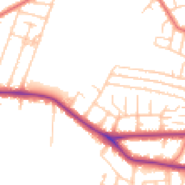
Daytime· 07:00 – 23:00
51.2dB

Night-time· 23:00 – 07:00
42.8dB