1 The Grove, Roundhay, Leeds, LS8 2QQ
About 1 The Grove
1 The Grove is an end-of-terrace house in Roundhay, Leeds, Leeds (LS8 2QQ). It has a recorded floor area of 132 m² (around 1421 sq ft) and council tax band D. The latest certificate (April 2010) returns a B (score 82), comfortably above the UK average. The latest certificate is from April 2010, so improvements made since then won't be reflected.
Held since May 2010 — that's 16 years off the open market, well above the local norm. Today's modelled estimate of £448,000 is 17.9% above the 2010 sale price. One historical planning record sits against the property in 2020.
Know exactly what you're buying at 1 The Grove
Before you offer, see what the listing won't tell you, the true value, the red flags and the full history.
Valuation
against the asking price
Risks
planning & flood
Sold prices
similar homes nearby
Trends
the local market
Energy performance
1 The Grove's EPC is over a decade old — improvements since won't be reflected.
EPC Expired
This certificate is over 10 years old and is no longer valid.Expired 18 Apr 2020
EPC Rating
Planning history
- Dec 2020Tree WorksTreesIn report
T1 Walnut - Remove.
- Agent
- Bowman Arboriculture
- Documents
- 4 docs on file
- Reference
- 20/07798/TR
What's in 1 The Grove, Roundhay, Leeds, LS8 2QQ's planning history?
Refusals, disputes and full decisions on this property and nearby, in the report.
Sales history & valuation
£448,000
Modelled from EPC, postcode comparables.
£380,000
Recorded with HM Land Registry.
Sales timeline
18 May 2010Most recent
£380,000
Median price across the last 5 sales in LS8 2QQ: £410,000 (2022–2017).
Nearby sales in LS8 2QQ
Everything we know about 1 The Grove, in one report
What it's really worth, what could be wrong, and the planning, sales and area data in full.
- Am I paying too much?
- Is something wrong with it?
- Is the agent's story true?
- Will it hold its value?

Versus other The Grove homes
On price per m², 1 The Grove runs well behind the street norm.
Price per m²
£2,878
Street avg £3,320
Floor Area
132 m²
Street avg 130 m²
CO₂ Emissions
2.4 t/year
Street avg 2.4 t/year
Years Held
16 years
Street avg 10 years
Similar properties nearby
The neighbourhood at a glance
Crime
4/mo
Steady year-on-year across the wider district.
Nearest stop
0.3 km
Elmete Drive — bus stop.
Closest school
0.4 km
Roundhay St John's Church of England Primary School. 34 schools nearby.
Go deeper on the local area
The full report breaks down crime, transport links, schools and air quality in depth.
Road noise across the postcode
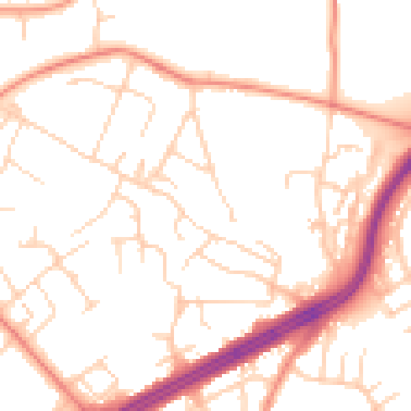
Daytime· 07:00 – 23:00
51.2dB

Night-time· 23:00 – 07:00
40.3dB