39 Asket Hill, Leeds, LS8 2LY
About 39 Asket Hill
39 Asket Hill is a detached house in Leeds (LS8 2LY). It has a recorded floor area of 218 m² (around 2347 sq ft), construction records dating it to 1967-1975 and council tax band F. The latest certificate (November 2018) shows a D (score 57), a step below the typical UK home. The recommended improvements would push it to C (score 74).
At 218 m² the property is well over the postcode median (101 m² across 9 EPCs), placing it in the larger end of the local stock. Today's modelled estimate of £531,000 sits 96.7% above the 2017 sale of £270,000. On a £-per-square-foot basis, the last sale (£115/sq ft) was about 56.9% below the postcode norm. 9 years since the last transfer (July 2017).
Know exactly what you're buying at 39 Asket Hill
Before you offer, see what the listing won't tell you, the true value, the red flags and the full history.
Valuation
against the asking price
Risks
planning & flood
Sold prices
similar homes nearby
Trends
the local market
Energy performance
39 Asket Hill's carbon output runs well above what efficient homes in the postcode produce.
EPC Rating
Planning history
39 Asket Hill has no planning applications on record.
Notable planning nearby
3applications of note in the surrounding area
Sales history & valuation
39 Asket Hill valuation sits well clear of the typical sold price in this postcode.
£531,000
Modelled from EPC, postcode comparables.
£270,000
Recorded with HM Land Registry.
Sales timeline
18 July 2017Most recent
£270,000
Median price across the last 5 sales in LS8 2LY: £353,750 (2024–2021).
Everything we know about 39 Asket Hill, in one report
What it's really worth, what could be wrong, and the planning, sales and area data in full.
- Am I paying too much?
- Is something wrong with it?
- Is the agent's story true?
- Will it hold its value?

Versus other Asket Hill homes
On floor area, 39 Asket Hill stands well clear of the street.
Price per m²
£1,239
Street avg £3,127
Floor Area
218 m²
Street avg 108 m²
Habitable Rooms
9 rooms
Street avg 6 rooms
CO₂ Emissions
11.0 t/year
Street avg 5.4 t/year
Similar properties nearby
The neighbourhood at a glance
Crime
4/mo
Steady year-on-year across the wider district.
Nearest stop
0.2 km
Park Edge Med Ctr — bus stop.
Closest school
0.7 km
Roundhay St John's Church of England Primary School. 33 schools nearby.
Go deeper on the local area
The full report breaks down crime, transport links, schools and air quality in depth.
Road noise across the postcode
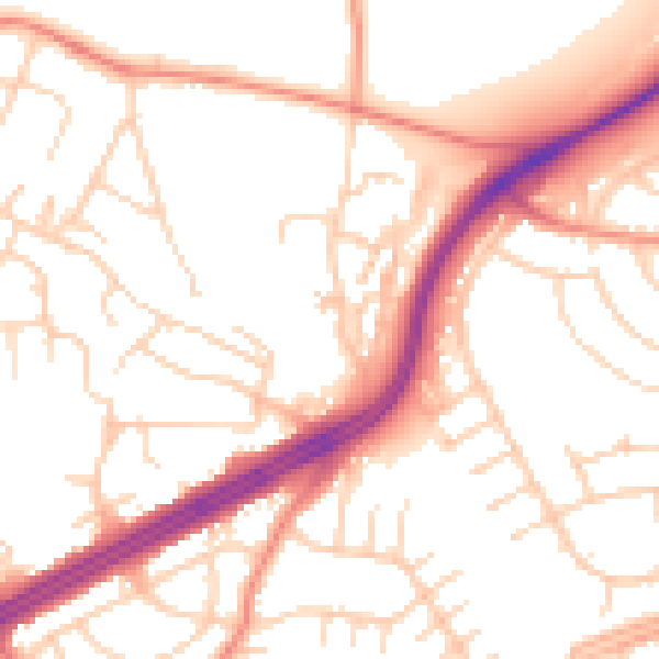
Daytime· 07:00 – 23:00
52.6dB

Night-time· 23:00 – 07:00
41.7dB