33 Asket Hill, Leeds, LS8 2LY
About 33 Asket Hill
33 Asket Hill is a mid-terrace house in Leeds (LS8 2LY). It has a recorded floor area of 115 m² (around 1238 sq ft), construction records dating it to before 1900 and council tax band D. The latest certificate (July 2024) shows a D (score 65), on the cusp of jumping into the C band. The recommended improvements would lift it to B (score 88), a 2-band jump.
Untraded for 26 years, with the last transfer in May 2000. Across 1997–2000, sale prices on this property compounded at 15.8% per year. Today's modelled estimate of £381,000 sits 217.5% above the 2000 sale of £120,000. On a £-per-square-foot basis, the last sale (£97/sq ft) was about 64.4% below the postcode norm.
Know exactly what you're buying at 33 Asket Hill
Before you offer, see what the listing won't tell you, the true value, the red flags and the full history.
Valuation
against the asking price
Risks
planning & flood
Sold prices
similar homes nearby
Trends
the local market
Energy performance
Recommended upgrades on file would lift this property by multiple EPC bands.
EPC Rating
Planning history
33 Asket Hill has no planning applications on record.
Notable planning nearby
3applications of note in the surrounding area
Sales history & valuation
33 Asket Hill's modelled value sits at over four times its earliest registered sale price (1997).
£381,000
Modelled from EPC, postcode comparables and a sale-price growth of 15.8% per year over 3 years.
£120,000
Growth on file: 15.8% per year over 3 years.
Sales timeline
8 May 2000Most recent
£120,000
+51.9%over 2 years1 July 1997
£79,000
Median price across the last 5 sales in LS8 2LY: £353,750 (2024–2021).
Everything we know about 33 Asket Hill, in one report
What it's really worth, what could be wrong, and the planning, sales and area data in full.
- Am I paying too much?
- Is something wrong with it?
- Is the agent's story true?
- Will it hold its value?

Versus other Asket Hill homes
On price per m², 33 Asket Hill runs well behind the street norm.
Price per m²
£1,043
Street avg £3,151
Floor Area
115 m²
Street avg 120 m²
Habitable Rooms
5 rooms
Street avg 6 rooms
CO₂ Emissions
5.1 t/year
Street avg 6.1 t/year
Similar properties nearby
The neighbourhood at a glance
Crime
4/mo
Steady year-on-year across the wider district.
Nearest stop
0.2 km
Park Edge Med Ctr — bus stop.
Closest school
0.7 km
Roundhay St John's Church of England Primary School. 33 schools nearby.
Go deeper on the local area
The full report breaks down crime, transport links, schools and air quality in depth.
Road noise across the postcode
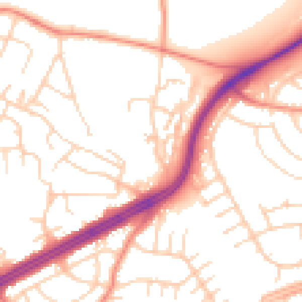
Daytime· 07:00 – 23:00
52.6dB

Night-time· 23:00 – 07:00
41.7dB