12 The Avenue, Roundhay, Leeds, LS8 1EH
About 12 The Avenue
12 The Avenue is a semi-detached house in Roundhay, Leeds, Leeds (LS8 1EH). It has a recorded floor area of 181 m² (around 1952 sq ft), construction records dating it to 1900-1929 and council tax band G. The latest certificate (November 2010) shows a D (score 59), a step below the typical UK home. The recommended improvements would push it to C (score 73). The latest certificate is from November 2010, so improvements made since then won't be reflected.
Held since April 2005 — that's 21 years off the open market, well above the local norm. At 181 m² the property is well over the postcode median (138 m² across 4 EPCs), placing it in the larger end of the local stock. Today's modelled estimate of £840,000 sits 68% above the 2005 sale of £500,000. On a £-per-square-foot basis, the last sale (£256/sq ft) was about 40.8% above the typical sold price in the postcode.
Know exactly what you're buying at 12 The Avenue
Before you offer, see what the listing won't tell you, the true value, the red flags and the full history.
Valuation
against the asking price
Risks
planning & flood
Sold prices
similar homes nearby
Trends
the local market
Energy performance
12 The Avenue's carbon output runs well above what efficient homes in the postcode produce.
EPC Expired
This certificate is over 10 years old and is no longer valid.Expired 24 Nov 2020
EPC Rating
Planning history
12 The Avenue has no planning applications on record.
The full report still covers planning activity across the surrounding area.
Sales history & valuation
12 The Avenue valuation sits well clear of the typical sold price in this postcode.
£840,000
Modelled from EPC, postcode comparables.
£500,000
Recorded with HM Land Registry.
Sales timeline
17 April 2005Most recent
£500,000
Median price across the last 5 sales in LS8 1EH: £638,250 (2021–2008).
Everything we know about 12 The Avenue, in one report
What it's really worth, what could be wrong, and the planning, sales and area data in full.
- Am I paying too much?
- Is something wrong with it?
- Is the agent's story true?
- Will it hold its value?

Similar properties nearby
The neighbourhood at a glance
Crime
4/mo
Steady year-on-year across the wider district.
Nearest stop
0.1 km
Lidgett Park Rd The Avenue — bus stop.
Closest school
0.5 km
Talbot Primary School. 31 schools nearby.
Go deeper on the local area
The full report breaks down crime, transport links, schools and air quality in depth.
Road noise across the postcode
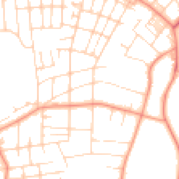
Daytime· 07:00 – 23:00
50.0dB

Night-time· 23:00 – 07:00
38.3dB