12 Baggholme Road, Lincoln, LN2 5BQ
About 12 Baggholme Road
12 Baggholme Road is a mid-terrace house in Lincoln (LN2 5BQ). It has a recorded floor area of 99 m² (around 1066 sq ft), construction records dating it to 1900-1929 and council tax band A. The latest certificate (December 2023) shows a C (score 69), just inside the C band. When first surveyed in February 2012 the rating was E, the property has climbed 2 bands since. Between certificates, wall efficiency went from Very Poor to Poor, roof efficiency went from Poor to Good and window efficiency went from Very Poor to Good. The recommended improvements would push it to B (score 86).
Sold May 2024 for £120,000. Across the public record there are 4 sales, relatively high churn for a single property. At 99 m² it's 26.1% larger than the typical home in the postcode (79 m² median across 46 EPCs). Across 2003–2024, sale prices on this property compounded at 2.5% per year. Today's modelled estimate of £148,000 is 23.3% above the 2024 sale price. On a £-per-square-foot basis, the last sale (£113/sq ft) was about 33% above the typical sold price in the postcode.
Everything you need to know about 12 Baggholme Road
The true value, the hidden risks and the full sale history, in one report.
Pick your report · every report is £14.99
One time fee only - money back guarantee

The data behind every report


Energy performance
EPC Rating
Property Improvements
Changes detected from historical EPC data
Single glazing replaced with double or better glazing
Wall insulation improved
Roof insulation improved
More low energy lighting installed
Get a survey for this property
Level 3 Building Survey
Because the property was built before 1919 and has solid (non-cavity) walls, we believe a Level 3 building survey should be considered.
From £820 · Includes VAT
Planning history
12 Baggholme Road has no planning applications on record.
But the area is active
63 notable applications nearby — larger schemes and conversions that could reshape the street. The report maps them all.
Sales history & valuation
12 Baggholme Road valuation sits well clear of the typical sold price in this postcode.
£148,000
Modelled from EPC, postcode comparables and a sale-price growth of 2.5% per year over 21 years.
£120,000
Growth on file: 2.5% per year over 21 years.
Sales timeline
12 May 2024Most recent
£120,000
+14.3%over 6 years5 October 2017
£105,000
+25.0%over 5 years7 June 2012
£84,000
+16.7%over 8 years10 July 2003
£72,000
Median price across the last 5 sales in LN2 5BQ: £115,000 (2024–2022).
Nearby sales in LN2 5BQ
Versus other Baggholme Road homes
On years held, 12 Baggholme Road runs well behind the street norm.
Price per m²
£1,212
Street avg £1,182
Floor Area
99 m²
Street avg 88 m²
Habitable Rooms
5 rooms
Street avg 5 rooms
CO₂ Emissions
3.7 t/year
Street avg 4.5 t/year
Everything you need to know about 12 Baggholme Road
The true value, the hidden risks and the full sale history, in one report.
Pick your report · every report is £14.99
One time fee only - money back guarantee
The data behind every report
Similar properties nearby
The neighbourhood at a glance
Rail-style transport is unusually close for this postcode.
Crime
3/mo
Steady year-on-year across the wider district.
Nearest stop
0.1 km
St Hugh Street — bus stop.
Closest school
0.2 km
Lincoln College. 18 schools nearby.
Go deeper on the local area
A Local Area report breaks down crime, transport links, schools and air quality in depth.
Road noise across the postcode
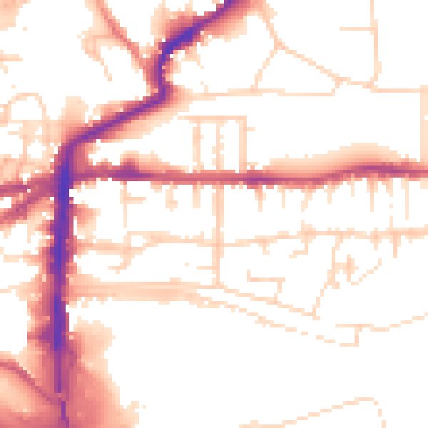
Daytime· 07:00 – 23:00
53.1dB

Night-time· 23:00 – 07:00
42.5dB