24 Baggholme Road, Lincoln, LN2 5BQ
About 24 Baggholme Road
24 Baggholme Road is a one-bedroom mid-terrace house in Lincoln (LN2 5BQ). It has a recorded floor area of 87 m² (around 936 sq ft), construction records dating it to 1900-1929 and council tax band A. The latest certificate (January 2015) shows an E (score 54), well below the UK norm with real room to improve. The recommended improvements would lift it to B (score 83), a 3-band jump. The latest certificate is from January 2015, so improvements made since then won't be reflected.
It lags the bulk of the postcode on energy efficiency (less efficient than 89% of similar EPCs). Today's modelled estimate of £130,000 is 13% above the 2022 sale price. On a £-per-square-foot basis, the last sale (£123/sq ft) was about 45.8% above the typical sold price in the postcode. Most recent transfer: June 2022 at £115,000. That sale was during the post-pandemic price surge, when transactions cleared materially above pre-2020 trend.
What this property has
Inside
- Bedrooms1
- Bathrooms1
Outside
- Private gardenYes
Everything you need to know about 24 Baggholme Road
The true value, the hidden risks and the full sale history, in one report.
Pick your report · every report is £14.99
One time fee only - money back guarantee

The data behind every report


Energy performance
Recommended upgrades on file would lift this property by multiple EPC bands.
EPC Expired
This certificate is over 10 years old and is no longer valid.Expired 05 Jan 2025
EPC Rating
Get a survey for this property
Level 3 Building Survey
Because the property was built before 1919 and has solid (non-cavity) walls, we believe a Level 3 building survey should be considered.
From £820 · Includes VAT
Planning history
24 Baggholme Road has no planning applications on record.
But the area is active
63 notable applications nearby — larger schemes and conversions that could reshape the street. The report maps them all.
Sales history & valuation
24 Baggholme Road's sale-price growth has lagged the wider UK trajectory across its history on file.
£130,000
Modelled from EPC, postcode comparables and a sale-price growth of 0.3% per year over 15 years.
£115,000
Growth on file: 0.3% per year over 15 years.
Sales timeline
26 June 2022Most recent
£115,000
+52.3%over 7 years25 May 2015
£75,500
-31.4%over 7 years28 November 2007
£110,000
Median price across the last 5 sales in LN2 5BQ: £120,000 (2024–2022).
Nearby sales in LN2 5BQ
Versus other Baggholme Road homes
24 Baggholme Road is notably below the street on epc rating.
Price per m²
£1,322
Street avg £1,178
Floor Area
87 m²
Street avg 88 m²
Habitable Rooms
5 rooms
Street avg 5 rooms
CO₂ Emissions
5.5 t/year
Street avg 4.4 t/year
Everything you need to know about 24 Baggholme Road
The true value, the hidden risks and the full sale history, in one report.
Pick your report · every report is £14.99
One time fee only - money back guarantee
The data behind every report
Similar properties nearby
1 Cromwell Street
LN2 5LP
1 Claremont Street
LN2 5BN
1 Fairfield Street
LN2 5NE
1 Eastfield Street
LN2 5ES
1 Brook Street
LN2 5AS
1 Devon Street
LN2 5NT
1 Clarina Street
LN2 5LZ
1 Belmont Street
LN2 5LS
The neighbourhood at a glance
Rail-style transport is unusually close for this postcode.
Crime
3/mo
Steady year-on-year across the wider district.
Nearest stop
0.1 km
St Hugh Street — bus stop.
Closest school
0.2 km
Lincoln College. 18 schools nearby.
Go deeper on the local area
A Local Area report breaks down crime, transport links, schools and air quality in depth.
Road noise across the postcode
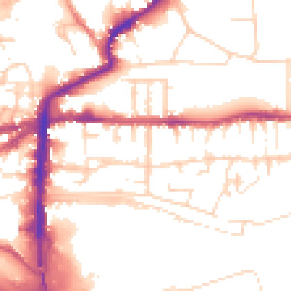
Daytime· 07:00 – 23:00
53.1dB

Night-time· 23:00 – 07:00
42.5dB