11 Broadway, Lincoln, LN2 1SQ
About 11 Broadway
11 Broadway is a four-bedroom semi-detached house in Lincoln (LN2 1SQ). It has a recorded floor area of 137 m² (around 1475 sq ft), construction records dating it to 1930-1949 and council tax band C. Tenure is freehold. The latest certificate (March 2024) shows a C (score 77), near the top of the C band. When first surveyed in August 2019 the rating was F, the property has climbed 3 bands since. Between certificates, window efficiency went from Average to Good, hot-water efficiency went from Very Poor to Good and lighting went from Poor to Very Good. The recommended improvements would push it to B (score 85).
At 137 m² it's 20.2% larger than the typical home in the postcode (114 m² median across 7 EPCs). Its energy rating outperforms most of the postcode (better than 71% of similar EPCs). Across 2019–2024, sale prices on this property compounded at 9.1% per year. On a £-per-square-foot basis, the last sale (£285/sq ft) was about 96% above the typical sold price in the postcode. Last sale on file: £420,000 in October 2024.
What this property has
Inside
- Bedrooms4
- Bathrooms3
- Open-plan layoutYes
- Dining roomYes
- EnsuiteYes
Outside
- Private gardenRear
Building
- TenureFreehold
- RefurbishedYes
Everything you need to know about 11 Broadway
The true value, the hidden risks and the full sale history, in one report.
Pick your report · every report is £14.99
One time fee only - money back guarantee

The data behind every report


Energy performance
EPC Rating
Property Improvements
Changes detected from historical EPC data
Upgraded to gas central heating
Connected to mains gas supply
Heating controls upgraded for better temperature management
Hot water system upgraded
Windows upgraded, improving insulation
More low energy lighting installed
Heating controls upgraded for better temperature management
Get a survey for this property
Level 2 HomeBuyer Report
We've checked 10 risk factors against the available data for this property and believe a Level 2 HomeBuyer Report could be a suitable option for you.
From £695 · Includes VAT
Planning history
11 Broadway has no planning applications on record.
But the area is active
5 notable applications nearby — larger schemes and conversions that could reshape the street. The report maps them all.
Sales history & valuation
Latest sale on 11 Broadway was the highest on Land Registry record across the postcode.
£429,000
Modelled from EPC, postcode comparables and a sale-price growth of 9.1% per year over 5 years.
£420,000
Growth on file: 9.1% per year over 5 years.
Sales timeline
1 October 2024Most recent
£420,000
+52.7%over 4 years25 November 2019
£275,000
Median price across the last 5 sales in LN2 1SQ: £230,000 (2024–2009).
Versus other Broadway homes
11 Broadway outperforms the street on price per m² by a wide margin.
Price per m²
£3,066
Street avg £2,280
Floor Area
137 m²
Street avg 115 m²
Habitable Rooms
7 rooms
Street avg 6 rooms
CO₂ Emissions
3.4 t/year
Street avg 4.6 t/year
Everything you need to know about 11 Broadway
The true value, the hidden risks and the full sale history, in one report.
Pick your report · every report is £14.99
One time fee only - money back guarantee
The data behind every report
Similar properties nearby
The neighbourhood at a glance
Daytime road noise here sits well below conversation level — a quiet pocket of the postcode.
Crime
3/mo
Steady year-on-year across the wider district.
Nearest stop
0.1 km
Nettleham Close — bus stop.
Closest school
0.6 km
Lincoln Christ's Hospital School. 16 schools nearby.
Go deeper on the local area
A Local Area report breaks down crime, transport links, schools and air quality in depth.
Road noise across the postcode
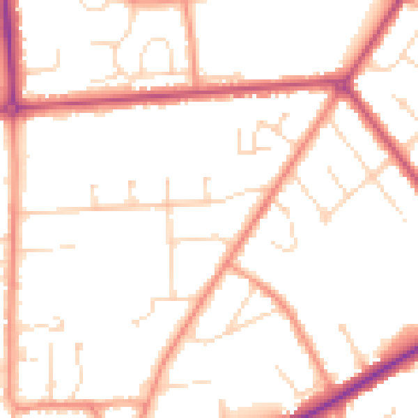
Daytime· 07:00 – 23:00
49.9dB

Night-time· 23:00 – 07:00
40.2dB