12 Dilston Road, Leatherhead, KT22 7NY
About 12 Dilston Road
12 Dilston Road is a five-bedroom semi-detached house in Leatherhead (KT22 7NY). It has a recorded floor area of 121 m² (around 1302 sq ft), construction records dating it to 1930-1949 and council tax band D. The latest certificate (April 2016) shows a D (score 63), on the cusp of jumping into the C band. When first surveyed in November 2010 the rating was E, the property has climbed 1 band since. Between certificates, roof efficiency went from Very Poor to Average, hot-water efficiency went from Poor to Good and lighting went from Good to Very Good. The recommended improvements would push it to C (score 76). The latest certificate is from April 2016, so improvements made since then won't be reflected.
At 121 m² the property is well over the postcode median (83 m² across 12 EPCs), placing it in the larger end of the local stock. 5 bedrooms is on the larger side for this postcode, where 3 is the typical count. One planning record on file: an extension approved in 2014. Past consents include an extension, meaningful when judging how the property has evolved. Across 2011–2022, sale prices on this property compounded at 8.6% per year. On a £-per-square-foot basis, the last sale (£455/sq ft) was about 70% above the typical sold price in the postcode. Sold May 2022 for £593,000. That sale was during the post-pandemic price surge, when transactions cleared materially above pre-2020 trend.
Know exactly what you're buying at 12 Dilston Road
Before you offer, see what the listing won't tell you, the true value, the red flags and the full history.
Already flagged here
Valuation
against the asking price
Risks
planning & flood
Sold prices
similar homes nearby
Trends
the local market
What this property has
Inside
- Bedrooms5
- Bathrooms2
- Dining roomYes
- StudyYes
Outside
- GarageYes
Building
- Central heatingYes
- RefurbishedYes
Energy performance
EPC Expired
This certificate is over 10 years old and is no longer valid.Expired 04 Apr 2026
EPC Rating
Property Improvements
Changes detected from historical EPC data
Heating controls upgraded for better temperature management
Hot water system upgraded
Windows upgraded, improving insulation
Roof insulation improved
Low energy lighting percentage decreased
Roof insulation improved
Glazing upgraded to newer, more efficient type
Roof insulation improved
More low energy lighting installed
Planning history
12 Dilston Road has an approved single-storey extension on the planning record.
- Jun 2014ExtensionFullIn report
Extension: Single storey
Erection of single storey rear extension and a first floor side extension.
- Documents
- 12 docs on file
- Reference
- MO/2014/0592
We flagged 1 thing worth checking at 12 Dilston Road
Independent checks surfaced things a buyer would want to understand before offering. The report explains each one in full, with the underlying data and what to ask.
- Larger development activity nearby
30-day money-back guarantee
Sales history & valuation
Sale price has at least doubled since 2011.
£632,000
Modelled from EPC, postcode comparables and a sale-price growth of 8.6% per year over 10 years.
£593,000
Growth on file: 8.6% per year over 10 years.
Sales timeline
5 May 2022Most recent
£593,000
+25.9%over 5 years27 February 2017
£471,000
+88.4%over 5 years2 December 2011
£250,000
Median price across the last 5 sales in KT22 7NY: £452,000 (2025–2022).
Nearby sales in KT22 7NY
Everything we know about 12 Dilston Road, in one report
What it's really worth, what could be wrong, and the planning, sales and area data in full.
What we flagged
- Larger development activity nearby

Versus other Dilston Road homes
Habitable Rooms for 12 Dilston Road runs comfortably ahead of the street norm.
Price per m²
£4,901
Street avg £4,445
Floor Area
121 m²
Street avg 89 m²
Habitable Rooms
8 rooms
Street avg 6 rooms
CO₂ Emissions
4.6 t/year
Street avg 4.2 t/year
Similar properties nearby
1 Blades Close
KT22 7JY
1 Falcon Wood
KT22 7TF
1 Farm Cottage, Randalls Road
KT22 7TH
1 Gaveston Road
KT22 7NR
1 Cressal Mead
KT22 7EA
1 Barnett Close
KT22 7DW
1 Boleyn Walk
KT22 7HU
1 Copthorne Road
KT22 7ED
The neighbourhood at a glance
Rail-style transport is unusually close for this postcode.
Crime
3/mo
Steady year-on-year across the wider district.
Nearest stop
0.2 km
All Saints School — bus stop.
Closest school
0.2 km
Therfield School. 10 schools nearby.
Go deeper on the local area
The full report breaks down crime, transport links, schools and air quality in depth.
Road noise across the postcode
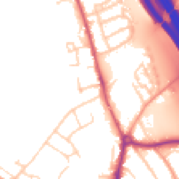
Daytime· 07:00 – 23:00
52.7dB

Night-time· 23:00 – 07:00
45.8dB