3 Dilston Road, Leatherhead, KT22 7NY
About 3 Dilston Road
3 Dilston Road is a semi-detached house in Leatherhead (KT22 7NY). It has a recorded floor area of 80 m² (around 861 sq ft), construction records dating it to 1983-1990 and council tax band B. The latest certificate (May 2022) shows a C (score 80), near the top of the C band. When first surveyed in March 2021 the rating was G, the property has climbed 4 bands since. Between certificates, wall efficiency went from Very Poor to Very Good, window efficiency went from Poor to Average and hot-water efficiency went from Very Poor to Good. At 80 m² this is the 6th smallest of 13 units on EPC record in the building, where floor areas span 44–145 m². The building's EPC ratings span D to B across 13 units on file.
One planning record on file: an extension approved in 2021. Past consents include an extension, a porch and partial demolition, meaningful when judging how the property has evolved. On a £-per-square-foot basis, the last sale (£456/sq ft) was about 70.4% above the typical sold price in the postcode. Last sale on file: £393,000 in December 2022. That sale was during the post-pandemic price surge, when transactions cleared materially above pre-2020 trend.
Know exactly what you're buying at 3 Dilston Road
Before you offer, see what the listing won't tell you, the true value, the red flags and the full history.
Already flagged here
Valuation
against the asking price
Risks
planning & flood
Sold prices
similar homes nearby
Trends
the local market
Energy performance
EPC Rating
Property Improvements
Changes detected from historical EPC data
Upgraded to gas central heating
Fuel source changed
Hot water system upgraded
Windows upgraded, improving insulation
Cavity wall insulation installed
More low energy lighting installed
Planning history
Planning history includes recorded demolition works, indicating a major rebuild phase at this address.
- Jul 2021PorchFullIn report
Extension: Part single, part two storey · Side and rear of property
Erection of part single, part two storey side/rear extension and front porch following demolition of existing single storey rear element and detached outbuilding.
ExtensionDemolition- Documents
- 12 docs on file
- Reference
- MO/2021/0977
We flagged 1 thing worth checking at 3 Dilston Road
Independent checks surfaced things a buyer would want to understand before offering. The report explains each one in full, with the underlying data and what to ask.
- Larger development activity nearby
30-day money-back guarantee
Sales history & valuation
The latest sale landed in the post-pandemic price surge — useful context when reading the figure.
£355,000
Modelled from EPC, postcode comparables.
£393,000
Recorded with HM Land Registry.
Sales timeline
16 December 2022Most recent
£393,000
Median price across the last 5 sales in KT22 7NY: £452,000 (2025–2022).
Nearby sales in KT22 7NY
Everything we know about 3 Dilston Road, in one report
What it's really worth, what could be wrong, and the planning, sales and area data in full.
What we flagged
- Larger development activity nearby

Similar properties nearby
1 Beechwood Court, Garlands Road
KT22 7GL
1 Barnett Wood Lane
KT22 7DF
1 Church Gardens, Kingston Road
KT22 7PS
1 Clare Wood
KT22 7RG
1 Fairs Road
KT22 7PD
1 Flint Cottages, Gravel Hill
KT22 7HQ
1 Cleeve Road
KT22 7NG
1 By Pass Road
KT22 7BY
The neighbourhood at a glance
Rail-style transport is unusually close for this postcode.
Crime
3/mo
Steady year-on-year across the wider district.
Nearest stop
0.2 km
All Saints School — bus stop.
Closest school
0.2 km
Therfield School. 10 schools nearby.
Go deeper on the local area
The full report breaks down crime, transport links, schools and air quality in depth.
Road noise across the postcode
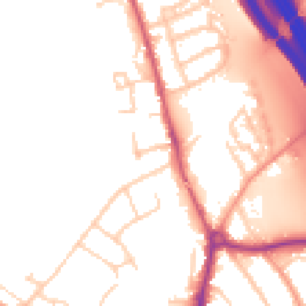
Daytime· 07:00 – 23:00
52.7dB

Night-time· 23:00 – 07:00
45.8dB