14 Ashtree Road, Watton, Thetford, IP25 6PF
About 14 Ashtree Road
14 Ashtree Road is a three-bedroom detached house in Watton, Thetford, Thetford (IP25 6PF). It has a recorded floor area of 100 m² (around 1076 sq ft), construction records dating it to 1967-1975 and council tax band B. The latest certificate (April 2017) shows an E (score 48), well below the UK norm with real room to improve. The recommended improvements would lift it to C (score 80), a 2-band jump. Main heating runs on oil.
At 100 m² the property is well over the postcode median (69 m² across 12 EPCs), placing it in the larger end of the local stock. It lags the bulk of the postcode on energy efficiency (less efficient than 75% of similar EPCs). Across 2001–2023, sale prices on this property compounded at 5.3% per year. On a £-per-square-foot basis, the last sale (£243/sq ft) was about 40.2% above the typical sold price in the postcode. Last sale on file: £262,000 in December 2023.
Know exactly what you're buying at 14 Ashtree Road
Before you offer, see what the listing won't tell you, the true value, the red flags and the full history.
Already flagged here
Valuation
against the asking price
Risks
planning & flood
Sold prices
similar homes nearby
Trends
the local market
What this property has
Inside
- Bedrooms3
- Bathrooms1
- Dining roomYes
- EnsuiteYes
Outside
- Private gardenYes
- GarageYes
Energy performance
14 Ashtree Road's carbon output runs well above what efficient homes in the postcode produce.
EPC Rating
Planning history
14 Ashtree Road has no planning applications on record.
Notable planning nearby
5applications of note in the surrounding area
We flagged 1 thing worth checking at 14 Ashtree Road
Independent checks surfaced things a buyer would want to understand before offering. The report explains each one in full, with the underlying data and what to ask.
- Larger development activity nearby
30-day money-back guarantee
Sales history & valuation
Latest sale on 14 Ashtree Road was the highest on Land Registry record across the postcode.
£260,000
Modelled from EPC, postcode comparables and a sale-price growth of 5.3% per year over 22 years.
£262,000
Growth on file: 5.3% per year over 22 years.
Sales timeline
1 December 2023Most recent
£262,000
+23.6%over 5 years18 December 2017
£212,000
+155.4%over 16 years16 August 2001
£83,000
Median price across the last 5 sales in IP25 6PF: £225,000 (2025–2019).
Nearby sales in IP25 6PF
13 Ashtree Road, Watton, Thetford, IP25 6PF
Sold Feb 2025
£251,5008 Ashtree Road, Watton, Thetford, IP25 6PF
Sold Dec 2022
£205,0006 Ashtree Road, Watton, Thetford, IP25 6PF
Sold Apr 2022
£225,00012 Ashtree Road, Watton, Thetford, IP25 6PF
Sold Apr 2022
£240,00011 Ashtree Road, Watton, Thetford, IP25 6PF
Sold Aug 2015
£148,000
Everything we know about 14 Ashtree Road, in one report
What it's really worth, what could be wrong, and the planning, sales and area data in full.
What we flagged
- Larger development activity nearby

Versus other Ashtree Road homes
On epc rating, 14 Ashtree Road runs well behind the street norm.
Price per m²
£2,620
Street avg £2,076
Floor Area
100 m²
Street avg 78 m²
Habitable Rooms
6 rooms
Street avg 4 rooms
CO₂ Emissions
6.7 t/year
Street avg 4.3 t/year
Similar properties nearby
1 Britannia Road, Griston
IP25 6FU
1 Badger Drive, Watton
IP25 6ZN
1 Bluebell Close, Watton
IP25 6HG
1 Broadflash Cottages, Broadflash Lane, Merton
IP25 6QL
1 Blenheim Crescent, Griston
IP25 6RN
1 Black Horse Close, Watton
IP25 6ES
1 Beverley Close, Carbrooke
IP25 6GS
1 Boscombe Road, Watton
IP25 6JS
The neighbourhood at a glance
Daytime road noise here sits well below conversation level — a quiet pocket of the postcode.
Crime
3/mo
Steady year-on-year across the wider district.
Closest school
0.6 km
Wayland Academy. 4 schools nearby.
Go deeper on the local area
The full report breaks down crime, transport links, schools and air quality in depth.
Road noise across the postcode
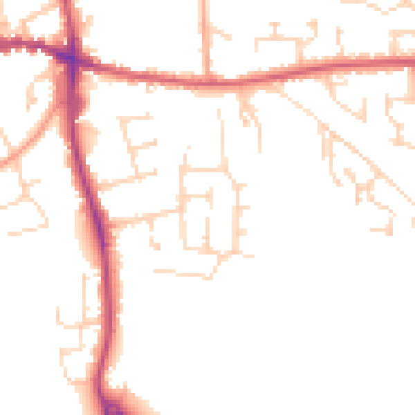
Daytime· 07:00 – 23:00
48.9dB

Night-time· 23:00 – 07:00
40.3dB