59 Amersham Road, High Wycombe, HP13 5AA
About 59 Amersham Road
59 Amersham Road is a semi-detached house in High Wycombe (HP13 5AA). It has a recorded floor area of 180 m² (around 1938 sq ft), construction records dating it to 1930-1949 and council tax band D. The latest certificate (January 2019) returns a high B (score 86), putting the home a stone's throw from an A rating. When first surveyed in October 2012 the rating was E, the property has climbed 3 bands since. Between certificates, wall efficiency went from Very Poor to Very Good, roof efficiency went from Good to Very Good and window efficiency went from Average to Very Good. The recommended improvements would push it to A (score 93).
At 180 m² the property is well over the postcode median (124 m² across 22 EPCs), placing it in the larger end of the local stock. Its energy rating outperforms most of the postcode (better than 86% of similar EPCs). Across 2006–2019, sale prices on this property compounded at 4.5% per year. Today's modelled estimate of £673,000 is 14.1% above the 2019 sale price. On a £-per-square-foot basis, the last sale (£305/sq ft) was about 18.3% above the typical sold price in the postcode. 8 planning records sit against the property, 6 approved, 2 refused. Most recent transfer: January 2019 at £590,000.
Everything you need to know about 59 Amersham Road
The true value, the hidden risks and the full sale history, in one report.
Pick your report · every report is £14.99
One time fee only - money back guarantee

The data behind every report


Energy performance
EPC Rating
Property Improvements
Changes detected from historical EPC data
Wall insulation improved
Heating controls upgraded for better temperature management
High performance glazing installed
Cavity wall insulation installed
Roof insulation improved
Floor insulation added or improved
More low energy lighting installed
Get a survey for this property
Level 2 HomeBuyer Report
We've checked 10 risk factors against the available data for this property and believe a Level 2 HomeBuyer Report could be a suitable option for you.
From £895 · Includes VAT
Planning history
59 Amersham Road has been through 6 approved planning applications — a well-evolved property.
8 applications on record at 59 Amersham Road, High Wycombe, HP13 5AA
- Mar 2007FullOutcome in report
Demoltion of existing dwellings & erection of 4 x 2-bed & 4 x 1-bed flats in one block with associated car parking & creation of new access
- Documents
- 7 docs on file
- Reference
- 07/05083/FUL
- More recent applications — locked
- AmendmentDec 2017Decision
- ConditionsMay 2016Decision
+ 5 more applications in the report
Unlock 59 Amersham Road, High Wycombe, HP13 5AA's full planning history
You're seeing the shape of it. The report has the substance.
- Every decision — granted, refused or withdrawn (8 on record)
- All 8 applications on this property in full, plus 11 notable nearby
- The 66 documents, officer reports & conditions
- What the pattern means for extending or converting here
One time fee only - money back guarantee
Sales history & valuation
59 Amersham Road valuation sits well clear of the typical sold price in this postcode.
£673,000
Modelled from EPC, postcode comparables and a sale-price growth of 4.5% per year over 13 years.
£590,000
Growth on file: 4.5% per year over 13 years.
Sales timeline
31 January 2019Most recent
£590,000
+73.5%over 12 years26 July 2006
£340,000
Median price across the last 5 sales in HP13 5AA: £560,000 (2025–2020).
Nearby sales in HP13 5AA
65a, Amersham Road, High Wycombe, HP13 5AA
Sold Jun 2025
£210,00067 Amersham Road, High Wycombe, HP13 5AA
Sold Dec 2024
£655,00049 Amersham Road, High Wycombe, HP13 5AA
Sold Jun 2022
£582,00065b, Amersham Road, High Wycombe, HP13 5AA
Sold Jun 2020
£220,00047 Amersham Road, High Wycombe, HP13 5AA
Sold Oct 2019
£591,000
Versus other Amersham Road homes
Floor Area for 59 Amersham Road runs comfortably ahead of the street norm.
Price per m²
£3,278
Street avg £3,379
Floor Area
180 m²
Street avg 129 m²
CO₂ Emissions
2.1 t/year
Street avg 4.9 t/year
Years Held
7 years
Street avg 12 years
Everything you need to know about 59 Amersham Road
The true value, the hidden risks and the full sale history, in one report.
Pick your report · every report is £14.99
One time fee only - money back guarantee
The data behind every report
Similar properties nearby
1 Coronation Cottages, The Common, Downley
HP13 5YQ
1 Brands Hill Avenue
HP13 5PZ
1 De Havilland Court
HP13 5AG
1 Beaconsfield Avenue
HP13 5EN
1 Commonside, Downley
HP13 5XG
1 Brenchwood Close, Downley
HP13 5UP
1 Court Close
HP13 5JF
1 Disraeli Crescent
HP13 5EL
The neighbourhood at a glance
Daytime road noise here sits well below conversation level — a quiet pocket of the postcode.
Crime
5/mo
Steady year-on-year across the wider district.
Nearest stop
0.2 km
Windsor Drive — bus stop.
Closest school
0.2 km
The Royal Grammar School, High Wycombe. 23 schools nearby.
Go deeper on the local area
A Local Area report breaks down crime, transport links, schools and air quality in depth.
Road noise across the postcode
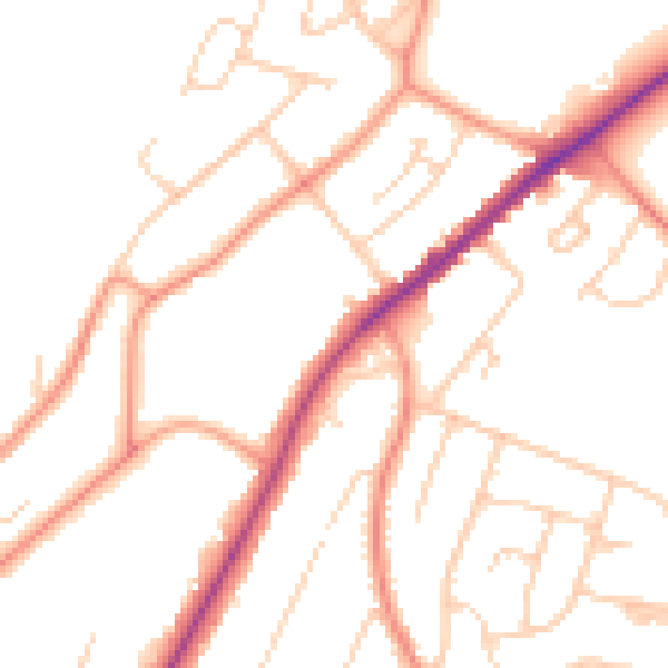
Daytime· 07:00 – 23:00
49.0dB

Night-time· 23:00 – 07:00
39.5dB