15a, Butterfield, Wooburn Green, High Wycombe, HP10 0PX
About 15a
15a is a detached house in Wooburn Green, High Wycombe, High Wycombe (HP10 0PX). It has a recorded floor area of 142 m² (around 1528 sq ft), construction records dating it to 1967-1975 and council tax band F. The latest certificate (March 2018) shows a C (score 71). The recommended improvements would push it to B (score 82).
Know exactly what you're buying at 15a
Before you offer, see what the listing won't tell you, the true value, the red flags and the full history.
Valuation
against the asking price
Risks
planning & flood
Sold prices
similar homes nearby
Trends
the local market
Energy performance
EPC Rating
Planning history
15a has no planning applications on record.
The full report still covers planning activity across the surrounding area.
Sales history & valuation
15a has no Land Registry sales on file, suggesting it has stayed in the same hands since registration began.
£706,000
Modelled from EPC, postcode comparables.
No sales recorded with HM Land Registry
That can mean the property has never traded since the registry began publishing in 1995, was a new build that hasn't been registered yet, or is held in the same hands long-term.
Median price across the last 5 sales in HP10 0PX: £607,000 (2024–2018).
Nearby sales in HP10 0PX
24 Butterfield, Wooburn Green, High Wycombe, HP10 0PX
Sold May 2024
£1,140,00011 Butterfield, Wooburn Green, High Wycombe, HP10 0PX
Sold Nov 2022
£675,00013 Butterfield, Wooburn Green, High Wycombe, HP10 0PX
Sold Nov 2018
£597,50010 Butterfield, Wooburn Green, High Wycombe, HP10 0PX
Sold Oct 2018
£607,00015 Butterfield, Wooburn Green, High Wycombe, HP10 0PX
Sold Aug 2018
£595,250
Everything we know about 15a, in one report
What it's really worth, what could be wrong, and the planning, sales and area data in full.
- Am I paying too much?
- Is something wrong with it?
- Is the agent's story true?
- Will it hold its value?

Versus other Butterfield homes
On co₂ emissions, 15a stands well clear of the street.
EPC Rating
71 (C)
Street avg 67 (D)
Floor Area
142 m²
Street avg 149 m²
CO₂ Emissions
4.4 t/year
Street avg 5.2 t/year
Habitable Rooms
7 rooms
Street avg 7 rooms
Similar properties nearby
1 Goodwin Meadows, Wooburn Green
HP10 0AT
1 Boundary Place, Wooburn Green
HP10 0DR
1 Elm Cottages, Old Moor Lane, Wooburn Moor
HP10 0NB
1 Fromer Road, Wooburn Green
HP10 0PR
1 Chimney Lane, Wooburn Green
HP10 0FG
1 Bishops Walk, Wooburn Green
HP10 0EW
1 Coaters Lane, Wooburn Green
HP10 0FF
1 Church View, Wooburn Town
HP10 0PW
The neighbourhood at a glance
Reported crime in the wider district is trending notably upward year-on-year.
Crime
3/mo
Rising year-on-year across the wider district.
Nearest stop
0.2 km
Town Lane — bus stop.
Closest school
0.3 km
St Paul's Church of England Combined School, Wooburn. 9 schools nearby.
Go deeper on the local area
The full report breaks down crime, transport links, schools and air quality in depth.
Road noise across the postcode
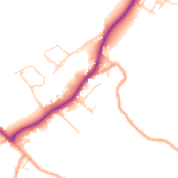
Daytime· 07:00 – 23:00
48.0dB

Night-time· 23:00 – 07:00
39.4dB