3 Dickins Lane, Petersfield, GU31 4QG
About 3 Dickins Lane
3 Dickins Lane is a detached house in Petersfield (GU31 4QG). It has a recorded floor area of 122 m² (around 1313 sq ft), construction records dating it to 2003-2006 and council tax band E. The latest certificate (March 2015) shows a C (score 70). The recommended improvements would push it to B (score 83). The latest certificate is from March 2015, so improvements made since then won't be reflected.
At 122 m² the property is well over the postcode median (75 m² across 26 EPCs), placing it in the larger end of the local stock. One planning record on file: an extension approved in 2019. Past consents include an extension and a conservatory, meaningful when judging how the property has evolved. Across 2005–2015, sale prices on this property compounded at 3.2% per year. Today's modelled estimate of £577,000 is 26.8% above the 2015 sale price. On a £-per-square-foot basis, the last sale (£346/sq ft) was about 29.4% above the typical sold price in the postcode. Last sold in August 2015, so it's been off the market for around 11 years.
Know exactly what you're buying at 3 Dickins Lane
Before you offer, see what the listing won't tell you, the true value, the red flags and the full history.
Already flagged here
Valuation
against the asking price
Risks
planning & flood
Sold prices
similar homes nearby
Trends
the local market
Energy performance
3 Dickins Lane's EPC is over a decade old — improvements since won't be reflected.
EPC Expired
This certificate is over 10 years old and is no longer valid.Expired 31 Mar 2025
EPC Rating
Planning history
3 Dickins Lane has an approved rear extension on the planning record.
- Oct 2019ConservatoryFullIn report
Extension: Rear of property
Conservatory to rear
- Agent
- ANGLIAN HOME IMPROVEMENTS
Extension- Documents
- 12 docs on file
- Reference
- SDNP/19/03357/HOUS
We flagged 1 thing worth checking at 3 Dickins Lane
Independent checks surfaced things a buyer would want to understand before offering. The report explains each one in full, with the underlying data and what to ask.
- Larger development activity nearby
30-day money-back guarantee
Sales history & valuation
3 Dickins Lane changed hands twice within eighteen months — unusual for the area.
£577,000
Modelled from EPC, postcode comparables and a sale-price growth of 3.2% per year over 10 years.
£455,000
Growth on file: 3.2% per year over 10 years.
Sales timeline
26 August 2015Most recent
£455,000
18 June 2015
£455,000
+37.9%over 10 years28 April 2005
£330,000
Median price across the last 5 sales in GU31 4QG: £446,000 (2025–2014).
Nearby sales in GU31 4QG
Everything we know about 3 Dickins Lane, in one report
What it's really worth, what could be wrong, and the planning, sales and area data in full.
What we flagged
- Larger development activity nearby

Versus other Dickins Lane homes
3 Dickins Lane is notably below the street on epc rating.
Price per m²
£3,730
Street avg £3,490
Floor Area
122 m²
Street avg 88 m²
Habitable Rooms
5 rooms
Street avg 4 rooms
CO₂ Emissions
3.8 t/year
Street avg 2.6 t/year
Similar properties nearby
The neighbourhood at a glance
Crime
1/mo
Steady year-on-year across the wider district.
Nearest stop
0.2 km
Churchers College — bus stop.
Closest school
0.4 km
Herne Junior School. 5 schools nearby.
Go deeper on the local area
The full report breaks down crime, transport links, schools and air quality in depth.
Road noise across the postcode
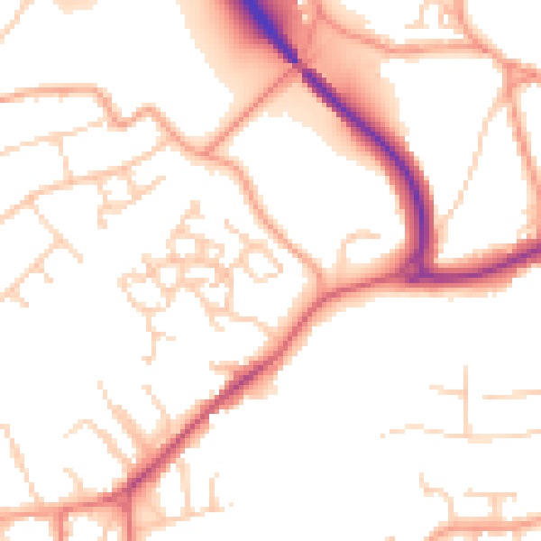
Daytime· 07:00 – 23:00
51.5dB

Night-time· 23:00 – 07:00
41.9dB