The Hollies, Court Green Heights, Woking, GU22 0DS
About The Hollies
The Hollies is a four-bedroom detached house in Woking (GU22 0DS). It has a recorded floor area of 169 m² (around 1819 sq ft), construction records dating it to 1976-1982 and council tax band G. The latest certificate (April 2013) shows a D (score 67), on the cusp of jumping into the C band. The recommended improvements would push it to C (score 76). The latest certificate is from April 2013, so improvements made since then won't be reflected. Records show the property has been extended at some point in its history.
3 planning records sit against the property, 3 approved, 0 refused. Past consents include tree works, an extension and partial demolition, meaningful when judging how the property has evolved. Across 2001–2018, sale prices on this property compounded at 3.8% per year. Today's modelled estimate of £1,079,000 is 11.8% above the 2018 sale price. On a £-per-square-foot basis, the last sale (£530/sq ft) was about 87.1% above the typical sold price in the postcode. Sold October 2018 for £965,000.
What this property has
Inside
- Bedrooms4
- Bathrooms3
- Dining roomYes
- EnsuiteYes
Outside
- Private gardenSouth-facing
- GarageYes
Building
- Previously extendedYes
- RefurbishedYes
Everything you need to know about The Hollies
The true value, the hidden risks and the full sale history, in one report.
Pick your report · every report is £14.99
One time fee only - money back guarantee

The data behind every report


Energy performance
The Hollies's EPC is over a decade old — improvements since won't be reflected.
EPC Expired
This certificate is over 10 years old and is no longer valid.Expired 22 Apr 2023
EPC Rating
Get a survey for this property
Level 2 HomeBuyer Report
We've checked 10 risk factors against the available data for this property and believe a Level 2 HomeBuyer Report could be a suitable option for you.
From £1,245 · Includes VAT
Planning history
Planning history includes recorded demolition works, indicating a major rebuild phase at this address.
3 applications on record at The Hollies, Court Green Heights, Woking, GU22 0DS
- Feb 2020DemolitionFullOutcome in report
Extension: Two storey · Side of property
Erection of a two storey side extension following demolition of existing garage and erection of a rear conservatory following demolition of existing conservatory
- Council
- Not Available, if this is a comment please see the Documents Tab
Extension- Documents
- 23 docs on file
- Reference
- PLAN/2019/1208
- More recent applications — locked
- Tree WorksOct 2020Decision
- ExtensionJun 2020Decision
Unlock The Hollies, Court Green Heights, Woking, GU22 0DS's full planning history
You're seeing the shape of it. The report has the substance.
- Every decision — granted, refused or withdrawn (3 on record)
- All 3 applications on this property in full, plus 4 notable nearby
- The 35 documents, officer reports & conditions
- What the pattern means for extending or converting here
One time fee only - money back guarantee
Sales history & valuation
Latest sale on The Hollies was the highest on Land Registry record across the postcode.
£1,079,000
Modelled from EPC, postcode comparables and a sale-price growth of 3.8% per year over 17 years.
£965,000
Growth on file: 3.8% per year over 17 years.
Sales timeline
25 October 2018Most recent
£965,000
+7.2%over 3 years26 July 2015
£900,000
+80.0%over 14 years26 April 2001
£500,000
Median price across the last 5 sales in GU22 0DS: £680,000 (2011–2006).
Nearby sales in GU22 0DS
Wedgewood, Court Green Heights, Woking, GU22 0DS
Sold Apr 2011
£832,000Fox Glen, Court Green Heights, Woking, GU22 0DS
Sold Jun 2008
£640,000Conway, Court Green Heights, Woking, GU22 0DS
Sold Apr 2008
£680,000Ravenstor, Court Green Heights, Woking, GU22 0DS
Sold Aug 2007
£790,000Lynwood, Court Green Heights, Woking, GU22 0DS
Sold Jan 2004
£552,500
Versus other Court Green Heights homes
Price per m² for The Hollies runs comfortably ahead of the street norm.
Price per m²
£5,710
Street avg £4,172
Floor Area
169 m²
Street avg 167 m²
Habitable Rooms
7 rooms
Street avg 9 rooms
CO₂ Emissions
5.7 t/year
Street avg 6.3 t/year
Everything you need to know about The Hollies
The true value, the hidden risks and the full sale history, in one report.
Pick your report · every report is £14.99
One time fee only - money back guarantee
The data behind every report
Similar properties nearby
1 Allen House Park
GU22 0DB
1 Evelyn Close
GU22 0DG
1 Cavendish Road
GU22 0EP
1 Copper Beech Close
GU22 0QA
1 Egley Road
GU22 0AU
1 Crosswell Cottages, Goose Lane
GU22 0NW
1 Blenheim Gardens, Hook Heath Avenue
GU22 0HL
1 Dianthus Court
GU22 0JA
The neighbourhood at a glance
Daytime road noise here sits well below conversation level — a quiet pocket of the postcode.
Crime
8/mo
Steady year-on-year across the wider district.
Nearest stop
0.3 km
The Star — bus stop.
Closest school
0.7 km
Barnsbury Primary School and Nursery. 19 schools nearby.
Go deeper on the local area
A Local Area report breaks down crime, transport links, schools and air quality in depth.
Road noise across the postcode
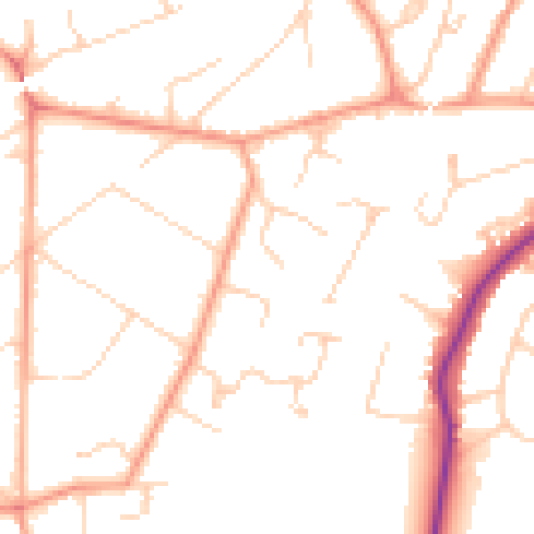
Daytime· 07:00 – 23:00
49.9dB

Night-time· 23:00 – 07:00
40.2dB