11 Crofton Road, Newham, London, E13 8QT
About 11 Crofton Road
11 Crofton Road is a three-bedroom property in Newham, London, London (E13 8QT). It has council tax band C.
Untraded for 20 years, with the last transfer in May 2006. 3 planning records sit against the property, 3 approved, 0 refused. Past consents include an extension and a loft conversion, meaningful when judging how the property has evolved. Across 2003–2006, sale prices on this property compounded at 6.1% per year.
Know exactly what you're buying at 11 Crofton Road
Before you offer, see what the listing won't tell you, the true value, the red flags and the full history.
Already flagged here
Valuation
against the asking price
Risks
planning & flood
Sold prices
similar homes nearby
Trends
the local market
What this property has
Inside
- Bedrooms3
- Dining roomYes
Outside
- Private gardenYes
Energy performance
No EPC on record
This property doesn't have an Energy Performance Certificate yet. An EPC is required to sell or let — and unlocks our automated valuation.
Planning history
Planning history includes both a loft conversion and an extension — the classic family-home expansion.
- Jan 2015ExtensionFullIn report
Retention of rear dormer extension with proposed alteration to side wall of dormer.
- Agent
- MMY Consultants Ltd
- Documents
- 9 docs on file
- Reference
- 14/02582/HH
- May 2012ExtensionFullIn report
Extension: Single storey · Rear of property
Erection of a single storey rear extension
- Documents
- 8 docs on file
- Reference
- 12/00581/HH
We flagged 2 things worth checking at 11 Crofton Road
Independent checks surfaced things a buyer would want to understand before offering. The report explains each one in full, with the underlying data and what to ask.
- Signs of HMO activity in the area
- Larger development activity nearby
30-day money-back guarantee
Sales history & valuation
£210,500
Growth on file: 6.1% per year over 3 years.
Sales timeline
4 May 2006Most recent
£210,500
+16.9%over 2 years18 September 2003
£180,000
Median price across the last 5 sales in E13 8QT: £495,000 (2025–2020).
Nearby sales in E13 8QT
91 Crofton Road, Newham, London, E13 8QT
Sold Aug 2025
£658,00055 Crofton Road, Newham, London, E13 8QT
Sold Oct 2024
£590,00083 Crofton Road, Newham, London, E13 8QT
Sold Nov 2022
£465,000101 Crofton Road, Newham, London, E13 8QT
Sold Jun 2022
£260,00097 Crofton Road, Newham, London, E13 8QT
Sold Oct 2020
£495,000
Everything we know about 11 Crofton Road, in one report
What it's really worth, what could be wrong, and the planning, sales and area data in full.
What we flagged
- Signs of HMO activity in the area
- Larger development activity nearby

Similar properties nearby
1 Avenons Road, Newham
E13 8HU
1 Botha Road, Newham
E13 8PG
1 Chesterton Road, Newham
E13 8BA
1 Brock Road, Newham
E13 8NA
1 Duchess Drive, Newham
E13 8FE
1 Ayres Close, Newham
E13 8BN
1 Clove Street, Newham
E13 8HS
1 Chenappa Close, Newham
E13 8DY
The neighbourhood at a glance
Reported crime in the wider district is trending notably upward year-on-year.
Crime
7/mo
Rising year-on-year across the wider district.
Nearest stop
0.2 km
Plaistow Police Station — bus stop.
Closest school
0.3 km
Kaizen Primary School. 84 schools nearby.
Go deeper on the local area
The full report breaks down crime, transport links, schools and air quality in depth.
Road noise across the postcode
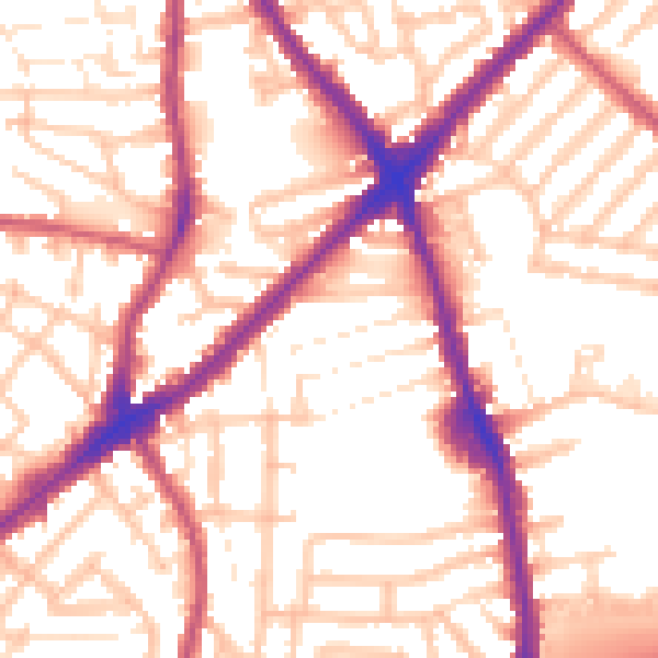
Daytime· 07:00 – 23:00
55.3dB

Night-time· 23:00 – 07:00
46.1dB