1 Duchess Drive, Newham, London, E13 8FE
About 1 Duchess Drive
1 Duchess Drive is a two-bedroom detached house in Newham, London, London (E13 8FE). It has a recorded floor area of 83 m² (around 893 sq ft). The latest certificate (November 2017) returns a high B (score 85), putting the home a stone's throw from an A rating. At 83 m² this is the 4th smallest of 8 units on EPC record in the building, where floor areas span 55–162 m². Other recorded features include a balcony.
Most recent transfer was August 2025 at £410,000 — fresh data.
Know exactly what you're buying at 1 Duchess Drive
Before you offer, see what the listing won't tell you, the true value, the red flags and the full history.
Already flagged here
Valuation
against the asking price
Risks
planning & flood
Sold prices
similar homes nearby
Trends
the local market
What this property has
Inside
- Bedrooms2
- Bathrooms1
Outside
- Private gardenYes
- BalconyYes
Energy performance
1 Duchess Drive's carbon output is low for the local stock.
EPC Rating
Planning history
1 Duchess Drive has no planning applications on record.
Notable planning nearby
10applications of note in the surrounding area
We flagged 2 things worth checking at 1 Duchess Drive
Independent checks surfaced things a buyer would want to understand before offering. The report explains each one in full, with the underlying data and what to ask.
- Signs of HMO activity in the area
- Larger development activity nearby
30-day money-back guarantee
Sales history & valuation
£397,000
Modelled from EPC, postcode comparables and a sale-price growth of -0.3% per year over 7 years.
£410,000
Growth on file: -0.3% per year over 7 years.
Sales timeline
19 August 2025Most recent
£410,000
-2.4%over 7 years7 June 2018
£420,000
Median price across the last 5 sales in E13 8FE: £350,000 (2025–2018).
Nearby sales in E13 8FE
5 Duchess Drive, Newham, London, E13 8FE
Sold Mar 2025
£370,0003 Duchess Drive, Newham, London, E13 8FE
Sold Apr 2021
£350,0006 Duchess Drive, Newham, London, E13 8FE
Sold Jun 2018
£600,0007 Duchess Drive, Newham, London, E13 8FE
Sold Mar 2018
£615,0002 Duchess Drive, Newham, London, E13 8FE
Sold Mar 2018
£430,000
Everything we know about 1 Duchess Drive, in one report
What it's really worth, what could be wrong, and the planning, sales and area data in full.
What we flagged
- Signs of HMO activity in the area
- Larger development activity nearby

Versus other Duchess Drive homes
1 Duchess Drive is notably below the street on price per m².
Price per m²
£4,940
Street avg £5,655
Floor Area
83 m²
Street avg 65 m²
CO₂ Emissions
1.0 t/year
Street avg 1.0 t/year
Years Held
1 years
Street avg 6 years
Similar properties nearby
1 Ayres Close, Newham
E13 8BN
1 Brock Road, Newham
E13 8NA
1 Clove Street, Newham
E13 8HS
1 Chenappa Close, Newham
E13 8DY
1 Botha Road, Newham
E13 8PG
1 Caraway Close, Newham
E13 8PN
1 Avenons Road, Newham
E13 8HU
1 Chesterton Road, Newham
E13 8BA
The neighbourhood at a glance
Reported crime in the wider district is trending notably upward year-on-year.
Crime
7/mo
Rising year-on-year across the wider district.
Nearest stop
0.0 km
Plaistow Police Station — bus stop.
Closest school
0.3 km
Kaizen Primary School. 85 schools nearby.
Go deeper on the local area
The full report breaks down crime, transport links, schools and air quality in depth.
Road noise across the postcode
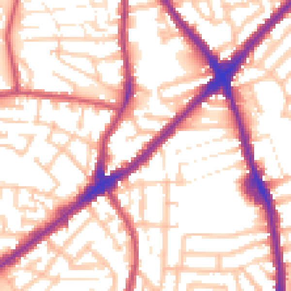
Daytime· 07:00 – 23:00
55.7dB

Night-time· 23:00 – 07:00
46.1dB