14 Belgrave Road, Redbridge, London, E11 3QN
About 14 Belgrave Road
14 Belgrave Road is a four-bedroom semi-detached house in Redbridge, London, London (E11 3QN). It has a recorded floor area of 203 m² (around 2181 sq ft), construction records dating it to 1900-1929 and council tax band F. The latest certificate (June 2010) shows an E (score 40), well below the UK norm with real room to improve. The latest certificate is from June 2010, so improvements made since then won't be reflected.
Held since September 2010 — that's 16 years off the open market, well above the local norm. Across 1999–2010, sale prices on this property compounded at 9.7% per year. Today's modelled estimate of £1,185,000 sits 75.6% above the 2010 sale of £675,000. On a £-per-square-foot basis, the last sale (£309/sq ft) was about 17.6% below the postcode norm. 4 planning records sit against the property, 3 approved, 1 refused. Past consents include an extension, a loft conversion and a garage conversion, meaningful when judging how the property has evolved. At 203 m² it's 26.7% larger than the typical home in the postcode (160 m² median across 10 EPCs). It lags the bulk of the postcode on energy efficiency (less efficient than 70% of similar EPCs).
Know exactly what you're buying at 14 Belgrave Road
Before you offer, see what the listing won't tell you, the true value, the red flags and the full history.
Already flagged here
Valuation
against the asking price
Risks
planning & flood
Sold prices
similar homes nearby
Trends
the local market
What this property has
Inside
- Bedrooms4
Energy performance
14 Belgrave Road's carbon output runs well above what efficient homes in the postcode produce.
EPC Expired
This certificate is over 10 years old and is no longer valid.Expired 06 Jun 2020
EPC Rating
Planning history
A a single-storey rear extension application was refused at 14 Belgrave Road in 2021.
- Mar 2023ExtensionFullIn report
Extension: Single storey · Rear of property
Single storey rear extension. (Summary)
- Council
- Neighbourhood CIL Area - West, BC Area 4 West (BA)
- Documents
- 12 docs on file
- Reference
- 0058/23
- Sept 2021ExtensionFullIn report
Extension: Single storey · Rear of property
Single storey rear extension (Summary)
- Council
- X BC Area 2 South West (KP)
- Documents
- 12 docs on file
- Reference
- 2170/21
We flagged 1 thing worth checking at 14 Belgrave Road
Independent checks surfaced things a buyer would want to understand before offering. The report explains each one in full, with the underlying data and what to ask.
- Signs of HMO activity in the area
30-day money-back guarantee
Sales history & valuation
14 Belgrave Road has more than doubled in price since the earliest registered sale in 1999.
£1,185,000
Modelled from EPC, postcode comparables and a sale-price growth of 9.7% per year over 11 years.
£675,000
Growth on file: 9.7% per year over 11 years.
Sales timeline
30 September 2010Most recent
£675,000
+175.5%over 10 years28 October 1999
£245,000
Median price across the last 5 sales in E11 3QN: £1,150,000 (2025–2021).
Nearby sales in E11 3QN
18 Belgrave Road, Redbridge, London, E11 3QN
Sold May 2025
£1,405,0008 Belgrave Road, Redbridge, London, E11 3QN
Sold Sept 2024
£1,275,00012 Belgrave Road, Redbridge, London, E11 3QN
Sold Dec 2023
£1,150,0002 Belgrave Road, Redbridge, London, E11 3QN
Sold Jan 2023
£1,100,00020 Belgrave Road, Redbridge, London, E11 3QN
Sold Mar 2021
£1,025,000
Everything we know about 14 Belgrave Road, in one report
What it's really worth, what could be wrong, and the planning, sales and area data in full.
What we flagged
- Signs of HMO activity in the area

Versus other Belgrave Road homes
On price per m², 14 Belgrave Road runs well behind the street norm.
Price per m²
£3,331
Street avg £8,405
Floor Area
203 m²
Street avg 173 m²
Habitable Rooms
7 rooms
Street avg 6 rooms
CO₂ Emissions
13.0 t/year
Street avg 6.7 t/year
Similar properties nearby
1 Forest View, Waltham Forest
E11 3AP
1 Barfield Road, Waltham Forest
E11 3AF
1 Eve Road, Waltham Forest
E11 3JE
1 Bushwood, Waltham Forest
E11 3AY
1 Cookes Close, Waltham Forest
E11 3EF
1 Belton Road, Waltham Forest
E11 3JD
1 Elsham Road, Waltham Forest
E11 3JH
1 Aylmer Road, Waltham Forest
E11 3AD
The neighbourhood at a glance
Reported crime in the wider district is trending notably upward year-on-year.
Crime
5/mo
Rising year-on-year across the wider district.
Nearest stop
0.1 km
Blake Hall Crescent — bus stop.
Closest school
0.8 km
Davies Lane Primary School. 57 schools nearby.
Go deeper on the local area
The full report breaks down crime, transport links, schools and air quality in depth.
Road noise across the postcode
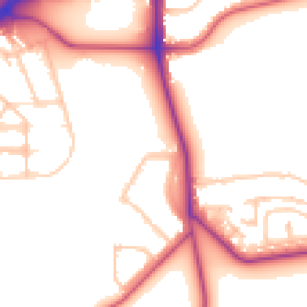
Daytime· 07:00 – 23:00
52.6dB

Night-time· 23:00 – 07:00
44.5dB