39 Blake Hall Road, Redbridge, London, E11 2QQ
About 39 Blake Hall Road
39 Blake Hall Road is a semi-detached house in Redbridge, London, London (E11 2QQ). It has a recorded floor area of 168 m² (around 1808 sq ft), construction records dating it to 1900-1929 and council tax band G. The latest certificate (November 2017) shows an F (score 35), near the bottom of the EPC scale. The recommended improvements would lift it to D (score 64), a 2-band jump.
At 168 m² the property is well over the postcode median (59 m² across 20 EPCs), placing it in the larger end of the local stock. On energy efficiency it sits in the bottom 10% of properties in this postcode — significant headroom for improvement. 2 planning records sit against the property, 2 approved, 0 refused. Past consents include an extension and a loft conversion, meaningful when judging how the property has evolved. Across 1996–2018, sale prices on this property compounded at 9.2% per year. Today's modelled estimate of £1,367,000 is 22.4% above the 2018 sale price. On a £-per-square-foot basis, the last sale (£618/sq ft) was about 120.4% above the typical sold price in the postcode. On the market in May 2018 and unlisted since — roughly 8 years.
Know exactly what you're buying at 39 Blake Hall Road
Before you offer, see what the listing won't tell you, the true value, the red flags and the full history.
Already flagged here
Valuation
against the asking price
Risks
planning & flood
Sold prices
similar homes nearby
Trends
the local market
Energy performance
39 Blake Hall Road sits at the bottom of the postcode for energy efficiency — meaningful headroom to improve.
EPC Rating
Planning history
- Jul 2025Loft ConversionFullIn report
Extension: Single storey · Rear of property
Single storey rear extension with a raised patio / steps. Loft conversion with a rear dormer. One rear gable window. One rear, one front and two side rooflights. (Summary).
- Council
- Neighbourhood CIL Area - West, BC Area 4 West (BA), DM Area - North/West, SANGS Catchment Zone - Roding Valley Park, SANGS Catchment Zone - Fairlop Waters Country Park
Extension- Documents
- 24 docs on file
- Reference
- 1584/25
- Oct 2018RenovationFullIn report
Demolish existing boundary wall. Erection of replacement boundary wall. (Summary).
- Council
- X BC Area 2 South West (KP), DC South Team/West RPC
- Documents
- 5 docs on file
- Reference
- 2841/18
We flagged 1 thing worth checking at 39 Blake Hall Road
Independent checks surfaced things a buyer would want to understand before offering. The report explains each one in full, with the underlying data and what to ask.
- Signs of HMO activity in the area
30-day money-back guarantee
Sales history & valuation
39 Blake Hall Road has more than quadrupled in price since its earliest registered sale in 1996.
£1,367,000
Modelled from EPC, postcode comparables and a sale-price growth of 9.2% per year over 22 years.
£1,117,000
Growth on file: 9.2% per year over 22 years.
Sales timeline
24 May 2018Most recent
£1,117,000
+97.7%over 14 years28 August 2003
£565,000
+232.4%over 6 years22 November 1996
£170,000
Median price across the last 5 sales in E11 2QQ: £1,060,000 (2023–2016).
Nearby sales in E11 2QQ
41 Blake Hall Road, Redbridge, London, E11 2QQ
Sold Mar 2023
£1,400,00027 Blake Hall Road, Redbridge, London, E11 2QQ
Sold Dec 2020
£1,070,0009 Blake Hall Road, Redbridge, London, E11 2QQ
Sold Jul 2019
£1,060,000Flat 1, 21 Blake Hall Road, London, E11 2QQ
Sold Jul 2017
£250,000Flat 1, 19 Blake Hall Road, London, E11 2QQ
Sold Jan 2016
£265,000
Everything we know about 39 Blake Hall Road, in one report
What it's really worth, what could be wrong, and the planning, sales and area data in full.
What we flagged
- Signs of HMO activity in the area

Versus other Blake Hall Road homes
On epc rating, 39 Blake Hall Road runs well behind the street norm.
Price per m²
£6,649
Street avg £5,170
Floor Area
168 m²
Street avg 221 m²
Habitable Rooms
7 rooms
Street avg 9 rooms
CO₂ Emissions
11.0 t/year
Street avg 12.0 t/year
Similar properties nearby
1 Burnham Crescent, Redbridge
E11 2DA
1 Elm Close, Redbridge
E11 2JE
1 Draycot Road, Redbridge
E11 2NU
1 Elm Hall Gardens, Redbridge
E11 2HX
1 Addison Road, Redbridge
E11 2RG
1 Cranbourne Avenue, Redbridge
E11 2BH
1 Colvin Gardens, Redbridge
E11 2DD
1 Dangan Road, Redbridge
E11 2RF
The neighbourhood at a glance
Rail-style transport is unusually close for this postcode.
Crime
5/mo
Rising year-on-year across the wider district.
Nearest stop
0.1 km
Felstead Road (E11) — bus stop.
Closest school
0.4 km
Our Lady of Lourdes RC Primary School. 48 schools nearby.
Go deeper on the local area
The full report breaks down crime, transport links, schools and air quality in depth.
Road noise across the postcode
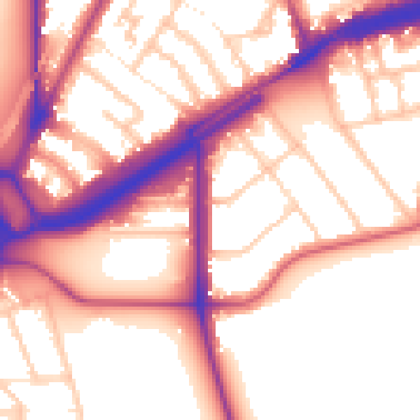
Daytime· 07:00 – 23:00
56.5dB
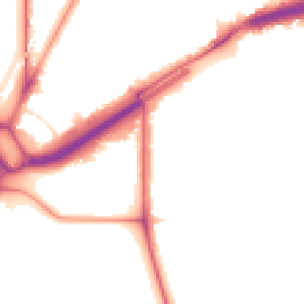
Night-time· 23:00 – 07:00
47.9dB