21 Draycott Road, Breaston, Derby, DE72 3DA
About 21 Draycott Road
21 Draycott Road is a four-bedroom semi-detached house in Breaston, Derby, Derby (DE72 3DA). It has a recorded floor area of 125 m² (around 1345 sq ft), construction records dating it to 1900-1929 and council tax band D. The latest certificate (January 2013) shows an E (score 51), well below the UK norm with real room to improve. The recommended improvements would lift it to C (score 80), a 2-band jump. The latest certificate is from January 2013, so improvements made since then won't be reflected.
13 years since the last transfer (May 2013). Across the public record there are 4 sales, relatively high churn for a single property. At 125 m² it's 25% larger than the typical home in the postcode (100 m² median across 27 EPCs). Across 1998–2013, sale prices on this property compounded at 6.1% per year. Today's modelled estimate of £358,000 is 49.2% above the 2013 sale price.
What this property has
Inside
- Bedrooms4
- Bathrooms1
- Dining roomYes
Outside
- Private gardenYes
Everything you need to know about 21 Draycott Road
The true value, the hidden risks and the full sale history, in one report.
Pick your report · every report is £14.99
One time fee only - money back guarantee

The data behind every report


Energy performance
21 Draycott Road's carbon output runs well above what efficient homes in the postcode produce.
EPC Expired
This certificate is over 10 years old and is no longer valid.Expired 06 Jan 2023
EPC Rating
Get a survey for this property
Level 3 Building Survey
Because the property was built before 1919, has been extended more than once, and has solid (non-cavity) walls, we believe a Level 3 building survey should be considered.
From £955 · Includes VAT
Planning history
21 Draycott Road has no planning applications on record.
But the area is active
1 notable application nearby — larger schemes and conversions that could reshape the street. The report maps them all.
Sales history & valuation
Sale price has at least doubled since 1998.
£358,000
Modelled from EPC, postcode comparables and a sale-price growth of 6.1% per year over 15 years.
£240,000
Growth on file: 6.1% per year over 15 years.
Sales timeline
23 May 2013Most recent
£240,000
+1.3%over 7 years8 September 2005
£237,000
+90.4%over 3 years20 December 2001
£124,500
+25.8%over 3 years28 May 1998
£99,000
Median price across the last 5 sales in DE72 3DA: £295,000 (2025–2021).
Nearby sales in DE72 3DA
24 Draycott Road, Breaston, Derby, DE72 3DA
Sold May 2025
£245,0009a, Mayfield Mobile Home Park, Draycott Road, Breaston, Derby, DE72 3DA
Sold Feb 2024
£36,45045 Draycott Road, Breaston, Derby, DE72 3DA
Sold Feb 2022
£295,00035 Draycott Road, Breaston, Derby, DE72 3DA
Sold Aug 2021
£325,00059 Draycott Road, Breaston, Derby, DE72 3DA
Sold Jun 2021
£380,000
Versus other Draycott Road homes
21 Draycott Road outperforms the street on years held by a wide margin.
Price per m²
£1,920
Street avg £2,723
Floor Area
125 m²
Street avg 112 m²
Habitable Rooms
6 rooms
Street avg 5 rooms
CO₂ Emissions
6.2 t/year
Street avg 5.0 t/year
Everything you need to know about 21 Draycott Road
The true value, the hidden risks and the full sale history, in one report.
Pick your report · every report is £14.99
One time fee only - money back guarantee
The data behind every report
Similar properties nearby
1 Appian Close, Borrowash
DE72 3LY
1 Bare Lane, Ockbrook
DE72 3RG
1 Amelia Close, Breaston
DE72 3XJ
1 Astill Pine Close, Breaston
DE72 3BF
1 Barrons Court, Elvaston, Thulston
DE72 3ER
1 Borrowfield, Borrowash
DE72 3LB
1 Ashbrook Avenue, Borrowash
DE72 3JE
1 Belmont Drive, Borrowash
DE72 3GW
The neighbourhood at a glance
Daytime road noise here sits well below conversation level — a quiet pocket of the postcode.
Crime
3/mo
Steady year-on-year across the wider district.
Nearest stop
0.1 km
Marlborough Road — bus stop.
Closest school
0.5 km
Firfield Primary School. 11 schools nearby.
Go deeper on the local area
A Local Area report breaks down crime, transport links, schools and air quality in depth.
Road noise across the postcode
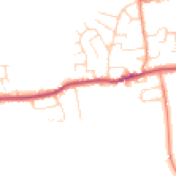
Daytime· 07:00 – 23:00
48.9dB

Night-time· 23:00 – 07:00
41.2dB