489 Gloucester Road, Horfield, Bristol, BS7 8UG
About 489 Gloucester Road
489 Gloucester Road is a semi-detached house in Horfield, Bristol, Bristol (BS7 8UG). It has a recorded floor area of 184 m² (around 1981 sq ft) and construction records dating it to 1900-1929. The latest certificate (December 2018) shows an E (score 52), well below the UK norm with real room to improve. The recommended improvements would lift it to C (score 77), a 2-band jump.
At 184 m² the property is well over the postcode median (116 m² across 43 EPCs), placing it in the larger end of the local stock. It lags the bulk of the postcode on energy efficiency (less efficient than 88% of similar EPCs). 3 planning records sit against the property, 1 approved, 1 refused.
Everything you need to know about 489 Gloucester Road
The true value, the hidden risks and the full sale history, in one report.
Pick your report · every report is £14.99
One time fee only - money back guarantee

The data behind every report


Energy performance
489 Gloucester Road's carbon output runs well above what efficient homes in the postcode produce.
EPC Rating
Get a survey for this property
Level 3 Building Survey
Because the property was built before 1919, we believe a Level 3 building survey should be considered.
From £1,220 · Includes VAT
Planning history
A recent planning application at 489 Gloucester Road was refused — worth checking the council file.
3 applications on record at 489 Gloucester Road, Horfield, Bristol, BS7 8UG
- Mar 2020OutlineOutcome in report
Application for prior notification of proposed demolition.
- Documents
- 9 docs on file
- Reference
- 20/00594/N
- More recent applications — locked
- ConditionsJul 2023Decision
- OutlineJan 2023Decision
Unlock 489 Gloucester Road, Horfield, Bristol, BS7 8UG's full planning history
You're seeing the shape of it. The report has the substance.
- Every decision — granted, refused or withdrawn (3 on record)
- All 3 applications on this property in full, plus 37 notable nearby
- The 61 documents, officer reports & conditions
- What the pattern means for extending or converting here
One time fee only - money back guarantee
Sales history & valuation
489 Gloucester Road has no Land Registry sales on file, suggesting it has stayed in the same hands since registration began.
£781,000
Modelled from EPC, postcode comparables.
No sales recorded with HM Land Registry
That can mean the property has never traded since the registry began publishing in 1995, was a new build that hasn't been registered yet, or is held in the same hands long-term.
Median price across the last 5 sales in BS7 8UG: £382,500 (2025–2022).
Nearby sales in BS7 8UG
1 Wellington Mews, Gloucester Road, Horfield, Bristol, BS7 8UG
Sold Nov 2025
£382,500543 Gloucester Road, Horfield, Bristol, BS7 8UG
Sold Feb 2025
£550,0003 Wellington Mews, Gloucester Road, Horfield, Bristol, BS7 8UG
Sold Feb 2024
£375,000Flat 2, 547 Gloucester Road, Horfield, Bristol, BS7 8UG
Sold Jul 2023
£210,000529 Gloucester Road, Horfield, Bristol, BS7 8UG
Sold May 2022
£490,000
Versus other Gloucester Road homes
Floor Area for 489 Gloucester Road runs comfortably ahead of the street norm.
EPC Rating
52 (E)
Street avg 65 (D)
Floor Area
184 m²
Street avg 127 m²
CO₂ Emissions
9.4 t/year
Street avg 4.9 t/year
Habitable Rooms
10 rooms
Street avg 6 rooms
Everything you need to know about 489 Gloucester Road
The true value, the hidden risks and the full sale history, in one report.
Pick your report · every report is £14.99
One time fee only - money back guarantee
The data behind every report
Similar properties nearby
1 Arundel Court, Berkeley Road, Bishopston
BS7 8HE
1 Beloe Road
BS7 8RB
1 Berkshire Road
BS7 8EX
1 Berkeley Avenue, Bishopston
BS7 8HH
1 Ash Road
BS7 8RN
1 3, Gloucester Road, Bishopston
BS7 8AA
1 Arundel Road
BS7 8HA
1 Beloe Mews
BS7 8AN
The neighbourhood at a glance
Reported crime in the wider district is trending notably upward year-on-year.
Crime
6/mo
Rising year-on-year across the wider district.
Nearest stop
0.1 km
Muller Road Top — bus stop.
Closest school
0.5 km
Ashley Down Primary School. 37 schools nearby.
Go deeper on the local area
A Local Area report breaks down crime, transport links, schools and air quality in depth.
Road noise across the postcode
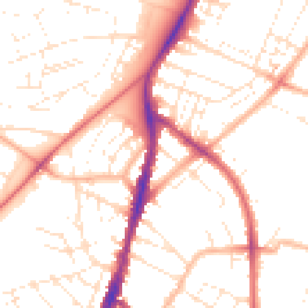
Daytime· 07:00 – 23:00
51.1dB

Night-time· 23:00 – 07:00
40.8dB