14 Ash Road, Bristol, BS7 8RN
About 14 Ash Road
14 Ash Road is a one-bedroom end-of-terrace house in Bristol (BS7 8RN). It has a recorded floor area of 133 m² (around 1432 sq ft), construction records dating it to before 1900 and council tax band D. The latest certificate (September 2021) shows a D (score 64), on the cusp of jumping into the C band. When first surveyed in January 2009 the rating was E, the property has climbed 1 band since. Between certificates, hot-water efficiency went from Average to Good, lighting went from Good to Very Good and main heating went from Average to Good. The recommended improvements would lift it to B (score 84), a 2-band jump.
Held since October 1998 — that's 28 years off the open market, well above the local norm. Only one transfer is on record with HM Land Registry, suggesting it has stayed in the same hands for a long time. Today's modelled estimate of £601,000 sits 472.4% above the 1998 sale of £105,000. On a £-per-square-foot basis, the last sale (£73/sq ft) was about 64.8% below the postcode norm. One planning record on file: an extension approved in 2008. Past consents include an extension, a conservatory and subdivision, meaningful when judging how the property has evolved. At 133 m² it's 20.1% larger than the typical home in the postcode (111 m² median across 33 EPCs). 1 bedrooms is on the smaller side for this postcode, where 3 is the typical count.
What this property has
Inside
- Bedrooms1
- Bathrooms1
Outside
- Private gardenYes
Building
- RefurbishedYes
Everything you need to know about 14 Ash Road
The true value, the hidden risks and the full sale history, in one report.
Pick your report · every report is £14.99
One time fee only - money back guarantee

The data behind every report


Energy performance
Recommended upgrades on file would lift this property by multiple EPC bands.
EPC Rating
Property Improvements
Changes detected from historical EPC data
Heating controls upgraded for better temperature management
Hot water efficiency improved
Windows upgraded, improving insulation
More low energy lighting installed
Get a survey for this property
Level 3 Building Survey
Because the property was built before 1919 and has solid (non-cavity) walls, we believe a Level 3 building survey should be considered.
From £1,155 · Includes VAT
Planning history
Council records show a subdivision application — the property's legal arrangement has been altered.
1 application on record at 14 Ash Road, Bristol, BS7 8RN
- Jun 2008ConservatoryFullOutcome in report
Extension: Rear of property
Conversion of an end of terrace single dwelling into 2 no. two bedroom flats. Proposed ground floor rear conservatory. Provision of bin and cycle storage facilities.
ExtensionSubdivision- Documents
- 7 docs on file
- Reference
- 08/01586/F
Unlock 14 Ash Road, Bristol, BS7 8RN's full planning history
You're seeing the shape of it. The report has the substance.
- Every decision — granted, refused or withdrawn (1 on record)
- All 1 application on this property in full, plus 37 notable nearby
- The 7 documents, officer reports & conditions
- What the pattern means for extending or converting here
One time fee only - money back guarantee
Sales history & valuation
14 Ash Road's modelled value sits at over four times its earliest registered sale price (1998).
£601,000
Modelled from EPC, postcode comparables.
£105,000
Recorded with HM Land Registry.
Sales timeline
14 October 1998Most recent
£105,000
Median price across the last 5 sales in BS7 8RN: £495,000 (2025–2023).
Versus other Ash Road homes
On years held, 14 Ash Road stands well clear of the street.
Price per m²
£789
Street avg £2,786
Floor Area
133 m²
Street avg 126 m²
Habitable Rooms
8 rooms
Street avg 6 rooms
CO₂ Emissions
5.3 t/year
Street avg 5.9 t/year
Everything you need to know about 14 Ash Road
The true value, the hidden risks and the full sale history, in one report.
Pick your report · every report is £14.99
One time fee only - money back guarantee
The data behind every report
Similar properties nearby
1 Berkeley Avenue, Bishopston
BS7 8HH
1 Arundel Road
BS7 8HA
1 Beloe Road
BS7 8RB
1 Beech Road
BS7 8RP
1 Beloe Mews
BS7 8AN
1 Arundel Court, Berkeley Road, Bishopston
BS7 8HE
1 Ash Road
BS7 8RN
1 3, Gloucester Road, Bishopston
BS7 8AA
The neighbourhood at a glance
Reported crime in the wider district is trending notably upward year-on-year.
Crime
6/mo
Rising year-on-year across the wider district.
Nearest stop
0.2 km
Ashley Down Road — bus stop.
Closest school
0.3 km
Ashley Down Primary School. 43 schools nearby.
Go deeper on the local area
A Local Area report breaks down crime, transport links, schools and air quality in depth.
Road noise across the postcode
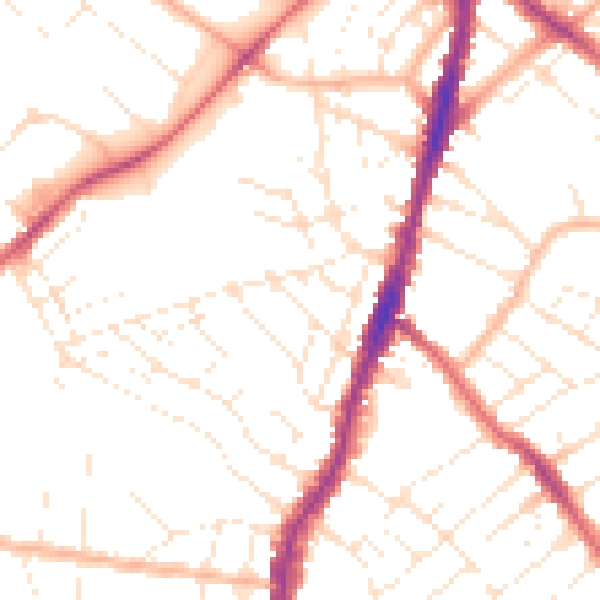
Daytime· 07:00 – 23:00
50.7dB

Night-time· 23:00 – 07:00
40.3dB