Stratford House, Flat 9, 469 Filton Avenue, Horfield, Bristol, BS7 0BL
About Stratford House
Stratford House is a two-bedroom mid-terrace house in Horfield, Bristol, Bristol (BS7 0BL). It has a recorded floor area of 55 m² (around 589 sq ft), construction records dating it to 2007 onwards and council tax band B. The latest certificate (September 2010) returns a B (score 84), comfortably above the UK average. The latest certificate is from September 2010, so improvements made since then won't be reflected. At 55 m² this is the 2nd smallest of 6 units on EPC record in Stratford House, where floor areas span 46–64 m². The building's EPC ratings span C to B, with this unit at the top. On EPC score it ranks first in the building (84 versus a worst of 73).
On energy efficiency it sits in the top 10% of properties in this postcode. Across 2007–2011, sale prices on this property compounded at -7.3% per year. Today's modelled estimate of £220,000 sits 76% above the 2011 sale of £125,000. On a £-per-square-foot basis, the last sale (£212/sq ft) was about 24.2% below the postcode norm. Last sold in December 2011, so it's been off the market for around 14 years.
What this property has
Inside
- Bedrooms2
- StudyYes
Outside
- ParkingOff street
Building
- ConciergeYes
Everything you need to know about Stratford House
The true value, the hidden risks and the full sale history, in one report.
Pick your report · every report is £14.99
One time fee only - money back guarantee

The data behind every report


Energy performance
Stratford House ranks among the most efficient homes in the postcode for energy use.
EPC Expired
This certificate is over 10 years old and is no longer valid.Expired 22 Sept 2020
EPC Rating
Get a survey for this property
Level 2 HomeBuyer Report
We've checked 10 risk factors against the available data for this property and believe a Level 2 HomeBuyer Report could be a suitable option for you.
From £545 · Includes VAT
Planning history
Stratford House has no planning applications on record.
But the area is active
162 notable applications nearby — larger schemes and conversions that could reshape the street. The report maps them all.
Sales history & valuation
Latest sale on Stratford House was the lowest on Land Registry record across the postcode.
£220,000
Modelled from EPC, postcode comparables and a sale-price growth of -7.3% per year over 4 years.
£125,000
Growth on file: -7.3% per year over 4 years.
Sales timeline
20 December 2011Most recent
£125,000
-28.1%over 4 years21 August 2007
£173,950
Median price across the last 5 sales in BS7 0BL: £175,995 (2018–2007).
Nearby sales in BS7 0BL
Stratford House, Flat 11, 469 Filton Avenue, Horfield, Bristol, BS7 0BL
Sold Mar 2018
£193,000Stratford House, Flat 10, 469 Filton Avenue, Horfield, Bristol, BS7 0BL
Sold Dec 2007
£175,995Stratford House, Flat 8, 469 Filton Avenue, Horfield, Bristol, BS7 0BL
Sold Dec 2007
£173,950Stratford House, Flat 12, 469 Filton Avenue, Horfield, Bristol, BS7 0BL
Sold Dec 2007
£177,995Stratford House, Flat 7, 469 Filton Avenue, Horfield, Bristol, BS7 0BL
Sold Nov 2007
£173,995
Versus other Filton Avenue homes
Price per m² for Stratford House lags the street by a wide margin.
Price per m²
£2,285
Street avg £3,150
Floor Area
55 m²
Street avg 57 m²
Habitable Rooms
3 rooms
Street avg 3 rooms
CO₂ Emissions
1.2 t/year
Street avg 1.4 t/year
Everything you need to know about Stratford House
The true value, the hidden risks and the full sale history, in one report.
Pick your report · every report is £14.99
One time fee only - money back guarantee
The data behind every report
Similar properties nearby
Ash Lea Court, Flat 21, Lyddington Road
BS7 0FD
Ash Lea Court, Flat 24, Lyddington Road
BS7 0FD
557a, First Floor Flat, Filton Avenue, Horfield
BS7 0QH
74a, Flat 3, Toronto Road
BS7 0JT
74a, Flat 1, Toronto Road
BS7 0JT
85a, Flat A, Beverley Road
BS7 0JW
74a, Flat 2, Toronto Road
BS7 0JT
2a, Flat, Filton Road, Horfield
BS7 0PA
The neighbourhood at a glance
Rail-style transport is unusually close for this postcode.
Crime
6/mo
Rising year-on-year across the wider district.
Nearest stop
0.1 km
Eden Grove — bus stop.
Closest school
0.4 km
Upper Horfield Primary School. 31 schools nearby.
Go deeper on the local area
A Local Area report breaks down crime, transport links, schools and air quality in depth.
Road noise across the postcode
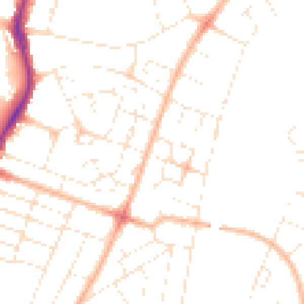
Daytime· 07:00 – 23:00
47.7dB

Night-time· 23:00 – 07:00
37.6dB