Stratford House, Flat 11, 469 Filton Avenue, Horfield, Bristol, BS7 0BL
About Stratford House
Stratford House is a two-bedroom mid-terrace house in Horfield, Bristol, Bristol (BS7 0BL). It has a recorded floor area of 64 m² (around 689 sq ft), construction records dating it to 2007-2011 and council tax band B. Tenure is freehold. At 64 m² this is the largest unit on EPC record across Stratford House (46–64 m²). The building's EPC ratings span C to B, with this unit at the bottom. Other recorded features include outbuildings. The latest certificate (November 2021) shows a C (score 80), near the top of the C band. Earlier certificates rated it B (July 2009); the latest reading is one band lower. Between certificates, hot-water efficiency went from Average to Good and lighting went from Poor to Very Good.
8 years since the last transfer (March 2018). Across 2007–2018, sale prices on this property compounded at 1% per year. Today's modelled estimate of £245,000 is 26.9% above the 2018 sale price.
What this property has
Inside
- Bedrooms2
- Dining roomYes
Outside
- GarageYes
- OutbuildingsYes
Building
- TenureFreehold
- Heating systemGas
Everything you need to know about Stratford House
The true value, the hidden risks and the full sale history, in one report.
Pick your report · every report is £14.99
One time fee only - money back guarantee

The data behind every report


Energy performance
Stratford House's carbon output is low for the local stock.
EPC Rating
Property Improvements
Changes detected from historical EPC data
Hot water system upgraded
More low energy lighting installed
Get a survey for this property
Level 3 Building Survey
Because the property has permanent outbuildings, we believe a Level 3 building survey should be considered.
From £885 · Includes VAT
Planning history
Stratford House has no planning applications on record.
But the area is active
162 notable applications nearby — larger schemes and conversions that could reshape the street. The report maps them all.
Sales history & valuation
Latest sale on Stratford House was the highest on Land Registry record across the postcode.
£245,000
Modelled from EPC, postcode comparables and a sale-price growth of 1.0% per year over 11 years.
£193,000
Growth on file: 1.0% per year over 11 years.
Sales timeline
2 March 2018Most recent
£193,000
+27.8%over 3 years22 July 2014
£151,000
-13.2%over 6 years22 August 2007
£173,950
Median price across the last 5 sales in BS7 0BL: £173,995 (2011–2007).
Nearby sales in BS7 0BL
Stratford House, Flat 9, 469 Filton Avenue, Horfield, Bristol, BS7 0BL
Sold Dec 2011
£125,000Stratford House, Flat 10, 469 Filton Avenue, Horfield, Bristol, BS7 0BL
Sold Dec 2007
£175,995Stratford House, Flat 8, 469 Filton Avenue, Horfield, Bristol, BS7 0BL
Sold Dec 2007
£173,950Stratford House, Flat 12, 469 Filton Avenue, Horfield, Bristol, BS7 0BL
Sold Dec 2007
£177,995Stratford House, Flat 7, 469 Filton Avenue, Horfield, Bristol, BS7 0BL
Sold Nov 2007
£173,995
Versus other Filton Avenue homes
Years Held for Stratford House lags the street by a wide margin.
Price per m²
£3,016
Street avg £3,004
Floor Area
64 m²
Street avg 56 m²
Habitable Rooms
3 rooms
Street avg 3 rooms
CO₂ Emissions
1.3 t/year
Street avg 1.4 t/year
Everything you need to know about Stratford House
The true value, the hidden risks and the full sale history, in one report.
Pick your report · every report is £14.99
One time fee only - money back guarantee
The data behind every report
Similar properties nearby
Ash Lea Court, Flat 21, Lyddington Road
BS7 0FD
Ash Lea Court, Flat 24, Lyddington Road
BS7 0FD
85a, Flat A, Beverley Road
BS7 0JW
557a, First Floor Flat, Filton Avenue, Horfield
BS7 0QH
74a, Flat 3, Toronto Road
BS7 0JT
2a, Flat, Filton Road, Horfield
BS7 0PA
85a, Flat B, Beverley Road
BS7 0JW
74a, Flat 1, Toronto Road
BS7 0JT
The neighbourhood at a glance
Rail-style transport is unusually close for this postcode.
Crime
6/mo
Rising year-on-year across the wider district.
Nearest stop
0.1 km
Eden Grove — bus stop.
Closest school
0.4 km
Upper Horfield Primary School. 31 schools nearby.
Go deeper on the local area
A Local Area report breaks down crime, transport links, schools and air quality in depth.
Road noise across the postcode
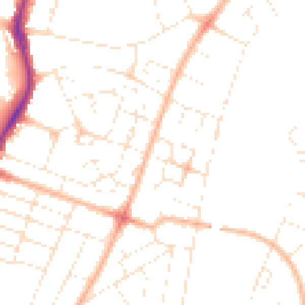
Daytime· 07:00 – 23:00
47.7dB

Night-time· 23:00 – 07:00
37.6dB