29 Beatrix Place, Horfield, Bristol, BS7 0AE
About 29 Beatrix Place
29 Beatrix Place is a semi-detached house in Horfield, Bristol, Bristol (BS7 0AE). It has a recorded floor area of 112 m² (around 1206 sq ft), construction records dating it to 1991-1995 and council tax band D. The latest certificate (November 2016) shows a D (score 62), on the cusp of jumping into the C band. The recommended improvements would push it to C (score 78).
On energy efficiency it sits in the bottom 10% of properties in this postcode — significant headroom for improvement. Across 2007–2019, sale prices on this property compounded at 1.4% per year. Today's modelled estimate of £474,000 sits 61.8% above the 2019 sale of £293,000. On a £-per-square-foot basis, the last sale (£243/sq ft) was about 15.1% above the typical sold price in the postcode. Most recent transfer: June 2019 at £293,000.
Everything you need to know about 29 Beatrix Place
The true value, the hidden risks and the full sale history, in one report.
Pick your report · every report is £14.99
One time fee only - money back guarantee

The data behind every report


Energy performance
29 Beatrix Place sits at the bottom of the postcode for energy efficiency — meaningful headroom to improve.
EPC Rating
Get a survey for this property
Level 2 HomeBuyer Report
We've checked 10 risk factors against the available data for this property and believe a Level 2 HomeBuyer Report could be a suitable option for you.
From £695 · Includes VAT
Planning history
29 Beatrix Place has no planning applications on record.
But the area is active
162 notable applications nearby — larger schemes and conversions that could reshape the street. The report maps them all.
Sales history & valuation
29 Beatrix Place's sale-price growth has lagged the wider UK trajectory across its history on file.
£474,000
Modelled from EPC, postcode comparables and a sale-price growth of 1.4% per year over 12 years.
£293,000
Growth on file: 1.4% per year over 12 years.
Sales timeline
13 June 2019Most recent
£293,000
+17.2%over 11 years7 December 2007
£249,995
Median price across the last 5 sales in BS7 0AE: £332,600 (2023–2021).
Nearby sales in BS7 0AE
4 Beatrix Place, Horfield, Bristol, BS7 0AE
Sold Dec 2023
£402,50015 Beatrix Place, Horfield, Bristol, BS7 0AE
Sold Jun 2023
£317,2503 Beatrix Place, Horfield, Bristol, BS7 0AE
Sold Apr 2023
£332,60012 Beatrix Place, Horfield, Bristol, BS7 0AE
Sold Apr 2022
£370,00011 Beatrix Place, Horfield, Bristol, BS7 0AE
Sold Jun 2021
£289,000
Versus other Beatrix Place homes
EPC Rating for 29 Beatrix Place lags the street by a wide margin.
Price per m²
£2,616
Street avg £2,834
Floor Area
112 m²
Street avg 101 m²
Habitable Rooms
6 rooms
Street avg 5 rooms
CO₂ Emissions
4.2 t/year
Street avg 2.4 t/year
Everything you need to know about 29 Beatrix Place
The true value, the hidden risks and the full sale history, in one report.
Pick your report · every report is £14.99
One time fee only - money back guarantee
The data behind every report
Similar properties nearby
The neighbourhood at a glance
Rail-style transport is unusually close for this postcode.
Crime
6/mo
Rising year-on-year across the wider district.
Nearest stop
0.1 km
Eden Grove — bus stop.
Closest school
0.4 km
Upper Horfield Primary School. 30 schools nearby.
Go deeper on the local area
A Local Area report breaks down crime, transport links, schools and air quality in depth.
Road noise across the postcode
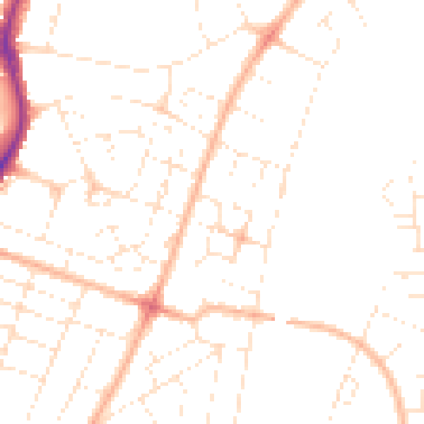
Daytime· 07:00 – 23:00
47.4dB

Night-time· 23:00 – 07:00
37.3dB