9 Camelford Road, Bristol, BS5 6HW
About 9 Camelford Road
9 Camelford Road is a mid-terrace house in Bristol (BS5 6HW). It has a recorded floor area of 86 m² (around 926 sq ft), construction records dating it to 1900-1929 and council tax band A. The latest certificate (August 2025) shows a D (score 64), on the cusp of jumping into the C band. The recommended improvements would push it to C (score 78).
Everything you need to know about 9 Camelford Road
The true value, the hidden risks and the full sale history, in one report.
30-day money-back guarantee

The data behind every report


Energy performance
EPC Rating
Planning history
9 Camelford Road has no planning applications on record.
Notable planning nearby
30applications of note in the surrounding area
We flagged 1 thing worth checking at 9 Camelford Road
Independent checks surfaced things a buyer would want to understand before offering. The report explains each one in full, with the underlying data and what to ask.
- Signs of HMO activity in the area
30-day money-back guarantee
Sales history & valuation
9 Camelford Road has no Land Registry sales on file, suggesting it has stayed in the same hands since registration began.
£394,000
Modelled from EPC, postcode comparables.
No sales recorded with HM Land Registry
That can mean the property has never traded since the registry began publishing in 1995, was a new build that hasn't been registered yet, or is held in the same hands long-term.
Median price across the last 5 sales in BS5 6HW: £441,000 (2024–2021).
Nearby sales in BS5 6HW
Versus other Camelford Road homes
On co₂ emissions, 9 Camelford Road stands well clear of the street.
EPC Rating
64 (D)
Street avg 57 (D)
Floor Area
86 m²
Street avg 91 m²
CO₂ Emissions
3.1 t/year
Street avg 4.6 t/year
Habitable Rooms
4 rooms
Street avg 5 rooms
Everything you need to know about 9 Camelford Road
The true value, the hidden risks and the full sale history, in one report.
30-day money-back guarantee
The data behind every report
Similar properties nearby
1 Britannia Road, Easton
BS5 6BZ
1 Chapel Road, Easton
BS5 6DX
1 Camelford Road
BS5 6HW
1 Battersea Road
BS5 6AJ
1 Argyle Street, Eastville
BS5 6PF
1 Boswell Street
BS5 6SG
1 Bruce Road
BS5 6EE
1 Ashdene Avenue
BS5 6QH
The neighbourhood at a glance
Rail-style transport is unusually close for this postcode.
Crime
11/mo
Steady year-on-year across the wider district.
Nearest stop
0.4 km
Bruce Road — bus stop.
Closest school
0.3 km
Whitehall Primary School. 41 schools nearby.
Go deeper on the local area
The full report breaks down crime, transport links, schools and air quality in depth.
Road noise across the postcode
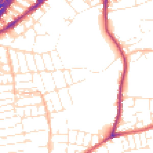
Daytime· 07:00 – 23:00
51.5dB

Night-time· 23:00 – 07:00
41.9dB