10 Camelford Road, Bristol, BS5 6HW
About 10 Camelford Road
10 Camelford Road is a property in Bristol (BS5 6HW). It has council tax band A.
Held since March 2007 — that's 19 years off the open market, well above the local norm. That sale landed at the peak of the pre-credit-crunch market, which is a useful reference point when interpreting the price. One planning record on file: an extension approved in 2013. Past consents include an extension, meaningful when judging how the property has evolved. Across 2002–2007, sale prices on this property compounded at 19.6% per year.
Everything you need to know about 10 Camelford Road
The true value, the hidden risks and the full sale history, in one report.
30-day money-back guarantee

The data behind every report


Energy performance
No EPC on record
This property doesn't have an Energy Performance Certificate yet. An EPC is required to sell or let — and unlocks our automated valuation.
Planning history
10 Camelford Road has an approved side extension on the planning record.
- Jun 2013ExtensionFullIn report
Extension: Side of property
Single storey side infill extension.
- Documents
- 7 docs on file
- Reference
- 13/01882/H
We flagged 1 thing worth checking at 10 Camelford Road
Independent checks surfaced things a buyer would want to understand before offering. The report explains each one in full, with the underlying data and what to ask.
- Signs of HMO activity in the area
30-day money-back guarantee
Sales history & valuation
Sale price has at least doubled since 2002.
£184,950
Growth on file: 19.6% per year over 4 years.
Sales timeline
2 March 2007Most recent
£184,950
+117.6%over 4 years29 October 2002
£85,000
Median price across the last 5 sales in BS5 6HW: £441,000 (2024–2021).
Nearby sales in BS5 6HW
Everything you need to know about 10 Camelford Road
The true value, the hidden risks and the full sale history, in one report.
30-day money-back guarantee
The data behind every report
Similar properties nearby
1 Ashdene Avenue
BS5 6QH
1 Battersea Road
BS5 6AJ
1 Chapel Road, Easton
BS5 6DX
1 Britannia Road, Easton
BS5 6BZ
1 Carlyle Road
BS5 6HG
1 Camelford Road
BS5 6HW
1 Argyle Street, Eastville
BS5 6PF
1 Boswell Street
BS5 6SG
The neighbourhood at a glance
Rail-style transport is unusually close for this postcode.
Crime
11/mo
Steady year-on-year across the wider district.
Nearest stop
0.4 km
Bruce Road — bus stop.
Closest school
0.3 km
Whitehall Primary School. 41 schools nearby.
Go deeper on the local area
The full report breaks down crime, transport links, schools and air quality in depth.
Road noise across the postcode
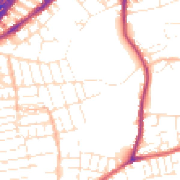
Daytime· 07:00 – 23:00
51.5dB

Night-time· 23:00 – 07:00
41.9dB