8 Ferris Avenue, Bournemouth, BH8 0AP
About 8 Ferris Avenue
8 Ferris Avenue is a three-bedroom detached house in Bournemouth (BH8 0AP). It has a recorded floor area of 96 m² (around 1033 sq ft), construction records dating it to 1950-1966 and council tax band D. The latest certificate (September 2024) shows a C (score 71). When first surveyed in November 2013 the rating was D, the property has climbed 1 band since. Between certificates, window efficiency went from Average to Good, hot-water efficiency went from Average to Good and lighting went from Poor to Very Good; while wall efficiency dropped from Good to Average. The recommended improvements would push it to B (score 85).
Today's modelled estimate of £438,000 sits 81% above the 2014 sale of £242,000. On a £-per-square-foot basis, the last sale (£234/sq ft) was about 28.9% below the postcode norm. At 96 m² it's 29.7% larger than the typical home in the postcode (74 m² median across 5 EPCs). Its energy rating outperforms most of the postcode (better than 80% of similar EPCs). 12 years since the last transfer (March 2014).
What this property has
Inside
- Bedrooms3
- Bathrooms1
Outside
- Private gardenSouth-west-facing
- GarageSingle
Building
- RefurbishedYes
Everything you need to know about 8 Ferris Avenue
The true value, the hidden risks and the full sale history, in one report.
Pick your report · every report is £14.99
One time fee only - money back guarantee

The data behind every report


Energy performance
EPC Rating
Property Improvements
Changes detected from historical EPC data
Heating controls upgraded for better temperature management
Hot water efficiency improved
Windows upgraded, improving insulation
More low energy lighting installed
Get a survey for this property
Level 2 HomeBuyer Report
We've checked 10 risk factors against the available data for this property and believe a Level 2 HomeBuyer Report could be a suitable option for you.
From £695 · Includes VAT
Planning history
8 Ferris Avenue has no planning applications on record.
A planning report still maps activity across the surrounding area and reads this property's extension & conversion potential.
Sales history & valuation
8 Ferris Avenue valuation sits well clear of the typical sold price in this postcode.
£438,000
Modelled from EPC, postcode comparables.
£242,000
Recorded with HM Land Registry.
Sales timeline
4 March 2014Most recent
£242,000
Median price across the last 5 sales in BH8 0AP: £345,000 (2024–2012).
Nearby sales in BH8 0AP
Versus other Ferris Avenue homes
8 Ferris Avenue outperforms the street on epc rating by a wide margin.
Price per m²
£2,521
Street avg £4,117
Floor Area
96 m²
Street avg 81 m²
Habitable Rooms
5 rooms
Street avg 4 rooms
CO₂ Emissions
3.0 t/year
Street avg 3.6 t/year
Everything you need to know about 8 Ferris Avenue
The true value, the hidden risks and the full sale history, in one report.
Pick your report · every report is £14.99
One time fee only - money back guarantee
The data behind every report
Similar properties nearby
1 Culford Close
BH8 0HX
1 Chesilbourne Grove
BH8 0BA
1 Barrowgate Way
BH8 0HD
1 Braishfield Gardens
BH8 0QA
1 Calmore Close
BH8 0NN
1 Ashstead Gardens
BH8 0EQ
1 Diamond Place
BH8 0FA
1 Downton Close
BH8 0EP
The neighbourhood at a glance
Crime
14/mo
Steady year-on-year across the wider district.
Nearest stop
0.1 km
Mill Road — bus stop.
Closest school
0.3 km
Bournemouth School for Girls. 22 schools nearby.
Go deeper on the local area
A Local Area report breaks down crime, transport links, schools and air quality in depth.
Road noise across the postcode
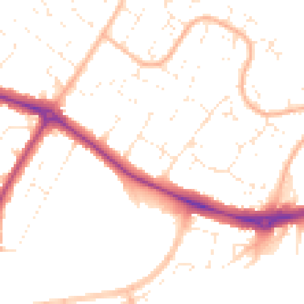
Daytime· 07:00 – 23:00
50.2dB

Night-time· 23:00 – 07:00
40.1dB