9 Harbeck Road, Bournemouth, BH8 0AH
About 9 Harbeck Road
9 Harbeck Road is a four-bedroom detached house in Bournemouth (BH8 0AH). It has a recorded floor area of 122 m² (around 1313 sq ft), construction records dating it to 1950-1966 and council tax band D. The latest certificate (July 2012) shows a D (score 64), on the cusp of jumping into the C band. The recommended improvements would push it to C (score 79). The latest certificate is from July 2012, so improvements made since then won't be reflected. Records show the property has been extended at some point in its history. The home occupies a corner plot and a cul-de-sac position.
At 122 m² the property is well over the postcode median (77 m² across 9 EPCs), placing it in the larger end of the local stock. 12 years since the last transfer (January 2014). Across 2002–2014, sale prices on this property compounded at 6.9% per year. Today's modelled estimate of £437,000 is 49.7% above the 2014 sale price.
What this property has
Inside
- Bedrooms4
- Dining roomYes
- StudyYes
Outside
- Private gardenRear
- Summer houseYes
- Corner plotYes
- Cul-de-sacYes
Building
- Previously extendedYes
Everything you need to know about 9 Harbeck Road
The true value, the hidden risks and the full sale history, in one report.
Pick your report · every report is £14.99
One time fee only - money back guarantee

The data behind every report


Energy performance
9 Harbeck Road's EPC is over a decade old — improvements since won't be reflected.
EPC Expired
This certificate is over 10 years old and is no longer valid.Expired 03 Jul 2022
EPC Rating
Get a survey for this property
Level 3 Building Survey
Because the property has been extended more than once, we believe a Level 3 building survey should be considered.
From £1,020 · Includes VAT
Planning history
9 Harbeck Road has no planning applications on record.
A planning report still maps activity across the surrounding area and reads this property's extension & conversion potential.
Sales history & valuation
Sale price has at least doubled since 2002.
£437,000
Modelled from EPC, postcode comparables and a sale-price growth of 6.9% per year over 12 years.
£292,000
Growth on file: 6.9% per year over 12 years.
Sales timeline
20 January 2014Most recent
£292,000
+122.9%over 12 years4 January 2002
£131,000
Median price across the last 5 sales in BH8 0AH: £355,000 (2024–2016).
Nearby sales in BH8 0AH
Versus other Harbeck Road homes
9 Harbeck Road is notably below the street on price per m².
Price per m²
£2,393
Street avg £3,625
Floor Area
122 m²
Street avg 85 m²
Habitable Rooms
5 rooms
Street avg 4 rooms
CO₂ Emissions
4.6 t/year
Street avg 4.7 t/year
Everything you need to know about 9 Harbeck Road
The true value, the hidden risks and the full sale history, in one report.
Pick your report · every report is £14.99
One time fee only - money back guarantee
The data behind every report
Similar properties nearby
1 Ashstead Gardens
BH8 0EQ
1 Diamond Place
BH8 0FA
1 Belmont Avenue
BH8 0AN
1 Culford Close
BH8 0HX
1 Chesilbourne Grove
BH8 0BA
1 Barrowgate Way
BH8 0HD
1 Braishfield Gardens
BH8 0QA
1 Calmore Close
BH8 0NN
The neighbourhood at a glance
Daytime road noise here sits well below conversation level — a quiet pocket of the postcode.
Crime
14/mo
Steady year-on-year across the wider district.
Nearest stop
0.1 km
Seagrim Road — bus stop.
Closest school
0.3 km
Muscliff Primary School. 20 schools nearby.
Go deeper on the local area
A Local Area report breaks down crime, transport links, schools and air quality in depth.
Road noise across the postcode
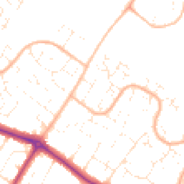
Daytime· 07:00 – 23:00
49.0dB

Night-time· 23:00 – 07:00
38.6dB