Flat 2, 73 Leigh Road, Wimborne, BH21 2AA
About Flat 2
Flat 2 is a two-bedroom detached house in Wimborne (BH21 2AA). It has a recorded floor area of 80 m² (around 861 sq ft) and construction records dating it to 1930-1949. The latest certificate (July 2020) shows a D (score 63), on the cusp of jumping into the C band. Earlier certificates rated it B (July 2010); the latest reading is 2 bands lower. Between certificates, wall efficiency dropped from Good to Very Poor and window efficiency dropped from Good to Average.
Across 2011–2024, sale prices on this property compounded at 2.1% per year. Last sale on file: £176,500 in October 2024.
Know exactly what you're buying at Flat 2
Before you offer, see what the listing won't tell you, the true value, the red flags and the full history.
Already flagged here
Valuation
against the asking price
Risks
planning & flood
Sold prices
similar homes nearby
Trends
the local market
What this property has
Inside
- Bedrooms2
- Bathrooms1
Energy performance
EPC Rating
Planning history
Flat 2 has no planning applications on record.
Notable planning nearby
7applications of note in the surrounding area
We flagged 1 thing worth checking at Flat 2
Independent checks surfaced things a buyer would want to understand before offering. The report explains each one in full, with the underlying data and what to ask.
- Larger development activity nearby
30-day money-back guarantee
Sales history & valuation
£191,000
Modelled from EPC, postcode comparables and a sale-price growth of 2.1% per year over 13 years.
£176,500
Growth on file: 2.1% per year over 13 years.
Sales timeline
10 October 2024Most recent
£176,500
+30.7%over 13 years25 August 2011
£135,000
Median price across the last 5 sales in BH21 2AA: £315,500 (2025–2023).
Everything we know about Flat 2, in one report
What it's really worth, what could be wrong, and the planning, sales and area data in full.
What we flagged
- Larger development activity nearby

Versus other Leigh Road homes
On price per m², Flat 2 stands well clear of the street.
Price per m²
£2,206
Street avg £1,596
Floor Area
80 m²
Street avg 88 m²
Habitable Rooms
3 rooms
Street avg 4 rooms
CO₂ Emissions
3.6 t/year
Street avg 4.6 t/year
Similar properties nearby
Flat 1, 73 Leigh Road
BH21 2AA
Bells House, Flat 6, Giddy Lake
BH21 2QU
Bells House, Flat 3, Giddy Lake
BH21 2QU
Bells House, Flat 2, Giddy Lake
BH21 2QU
Bells House, Flat 1, Giddy Lake
BH21 2QU
Bells House, Flat 4, Giddy Lake
BH21 2QU
Bells House, Flat 5, Giddy Lake
BH21 2QU
Flat 1, 103 Wimborne Road West
BH21 2DH
The neighbourhood at a glance
Daytime road noise here sits well below conversation level — a quiet pocket of the postcode.
Crime
2/mo
Steady year-on-year across the wider district.
Nearest stop
0.1 km
St John's Hill — bus stop.
Closest school
0.2 km
St John's Church of England First School, Wimborne. 9 schools nearby.
Go deeper on the local area
The full report breaks down crime, transport links, schools and air quality in depth.
Road noise across the postcode
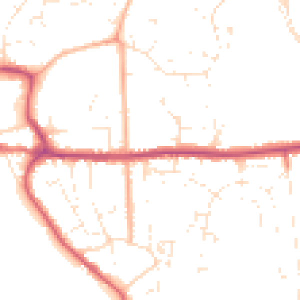
Daytime· 07:00 – 23:00
49.0dB
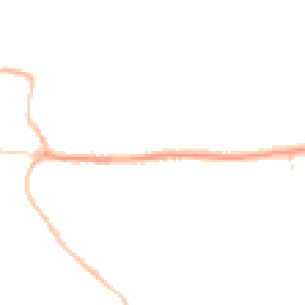
Night-time· 23:00 – 07:00
39.5dB